|
|
|
|
|
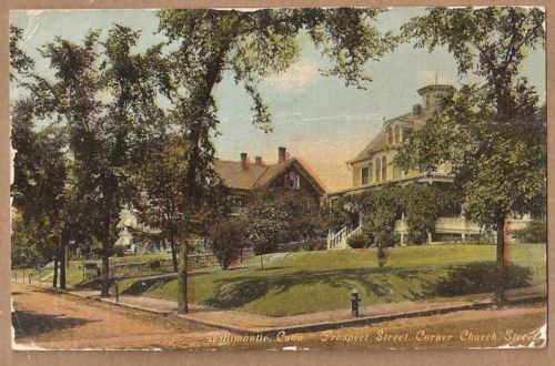
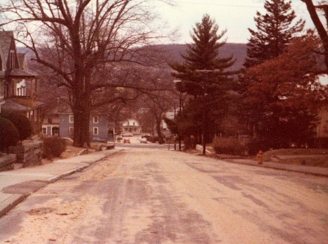
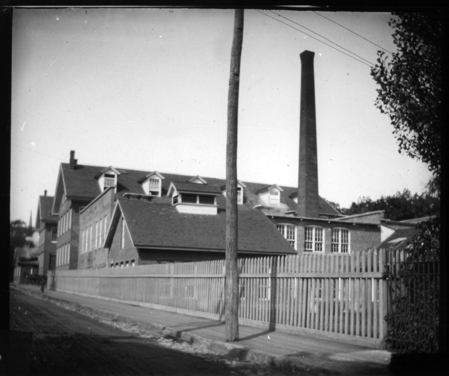
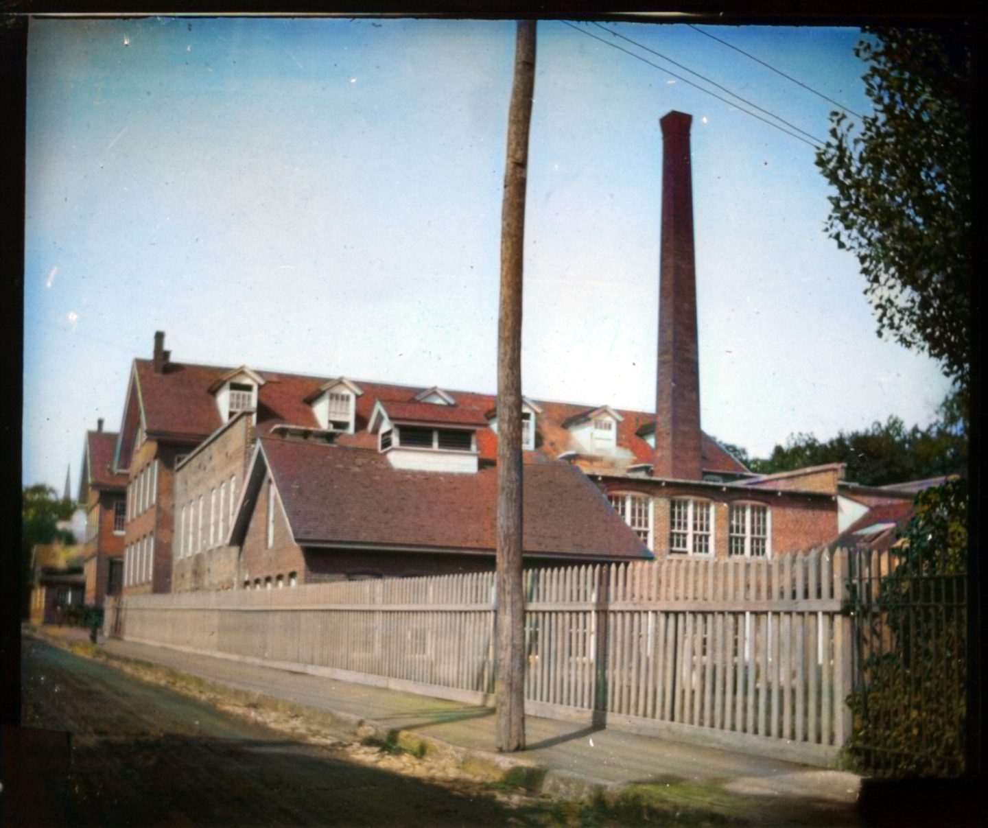
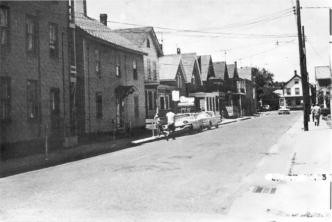
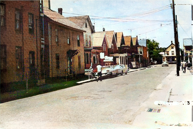
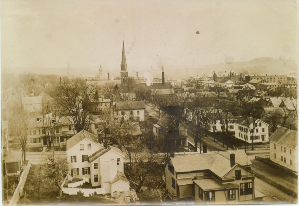
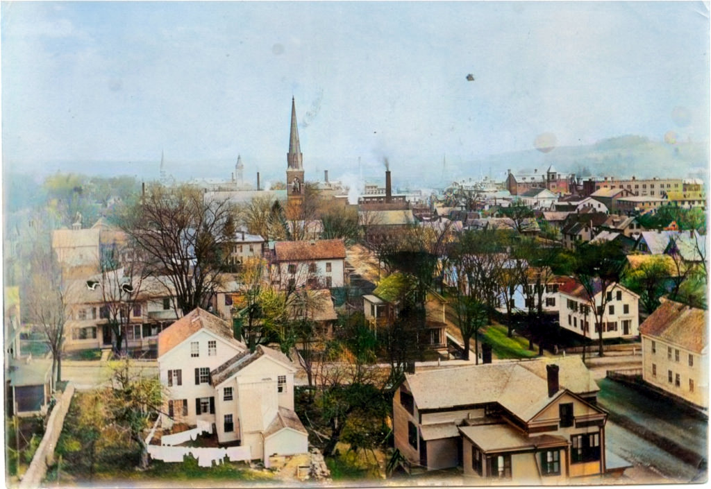
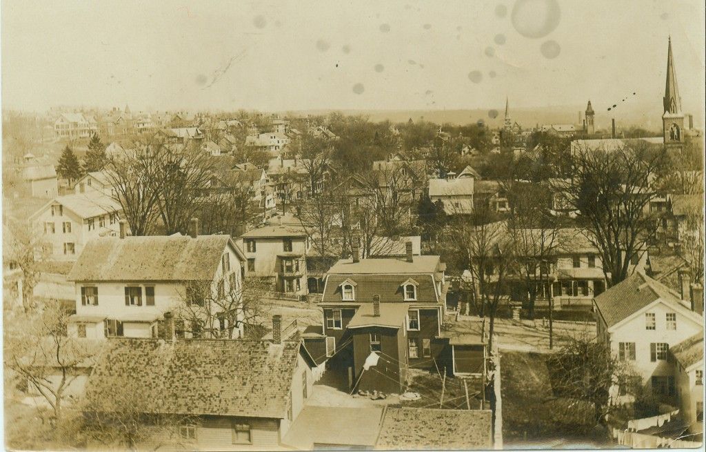
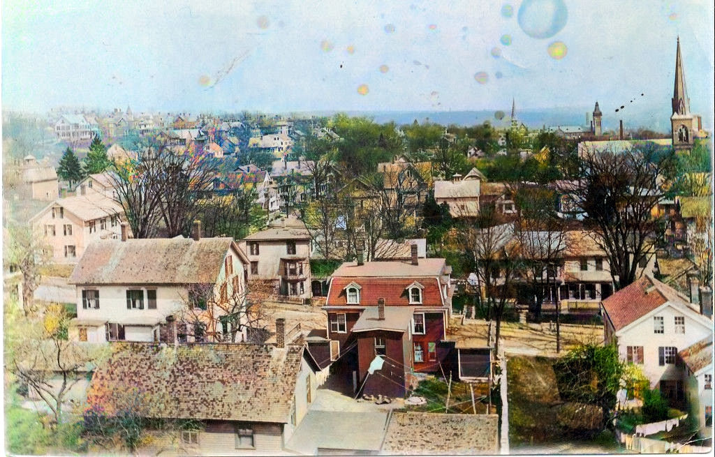
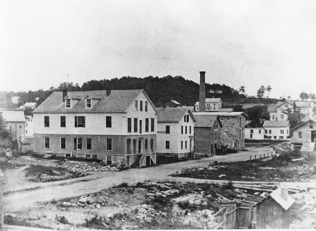
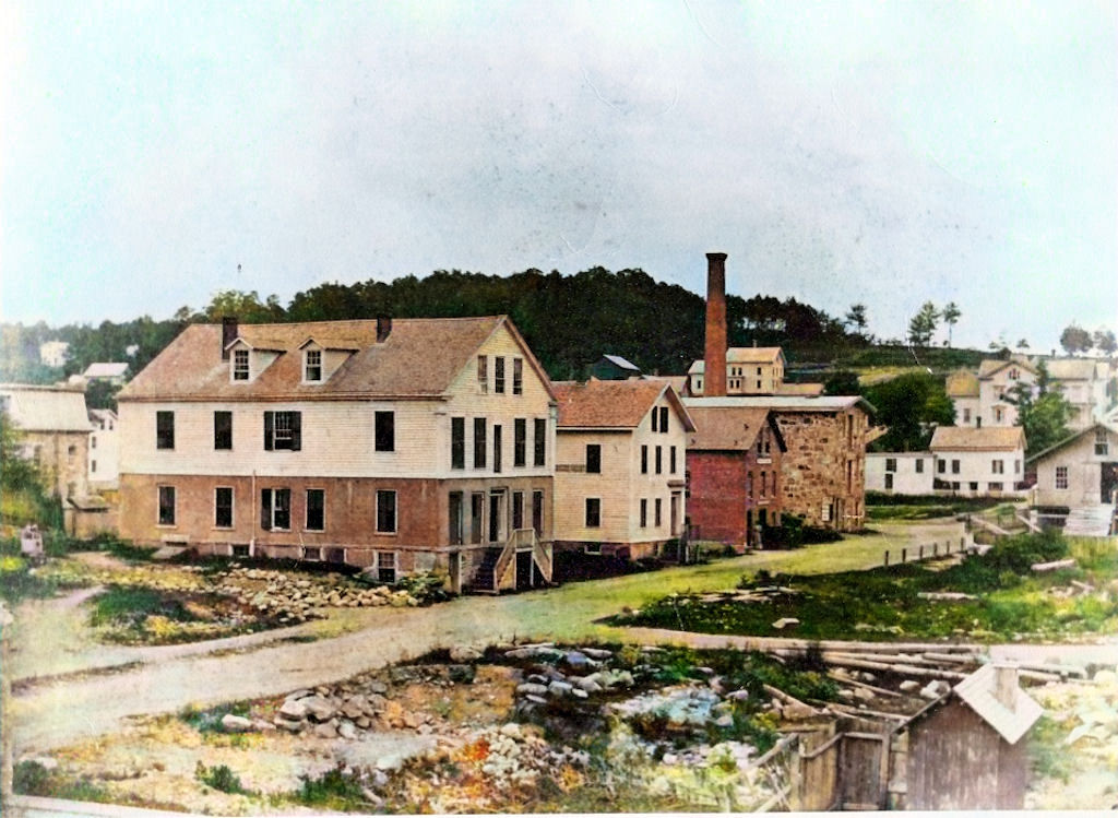
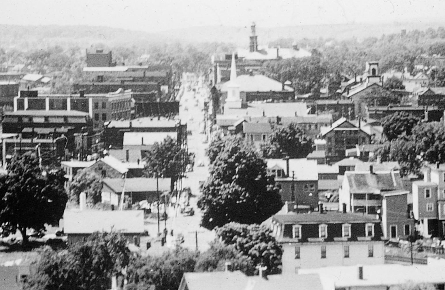
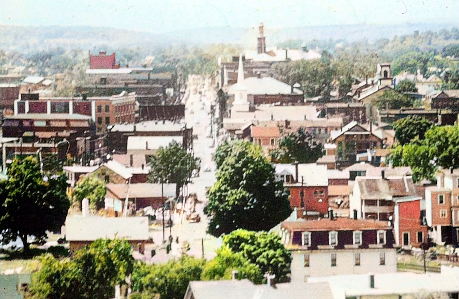
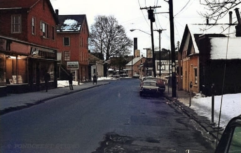
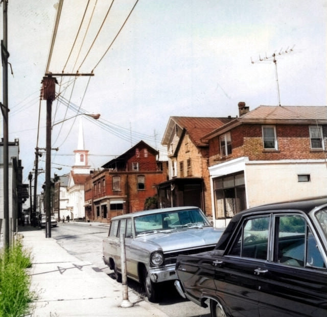
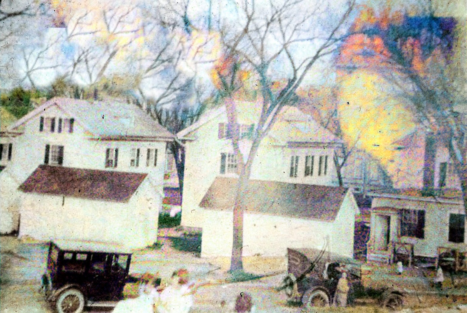
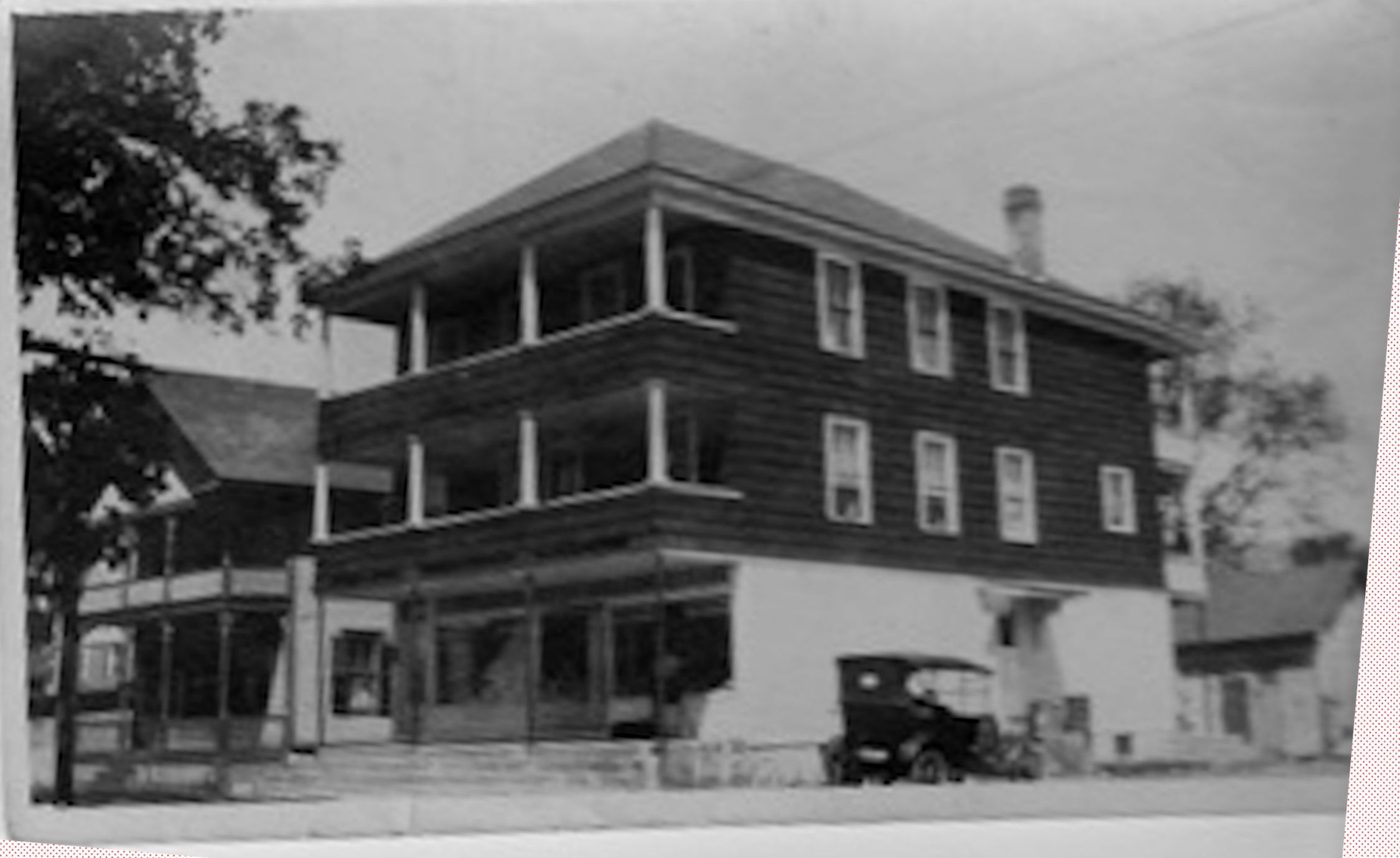
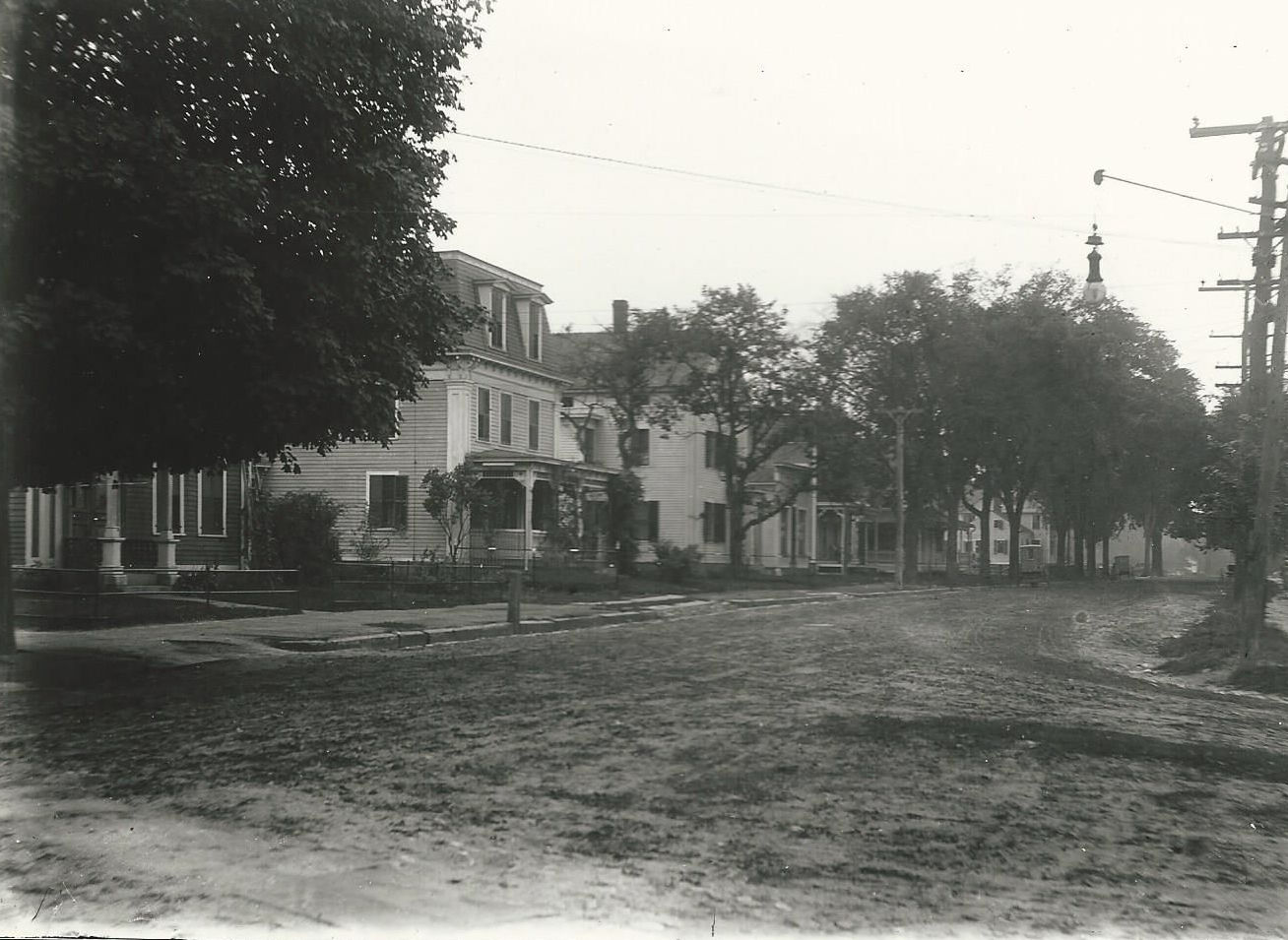
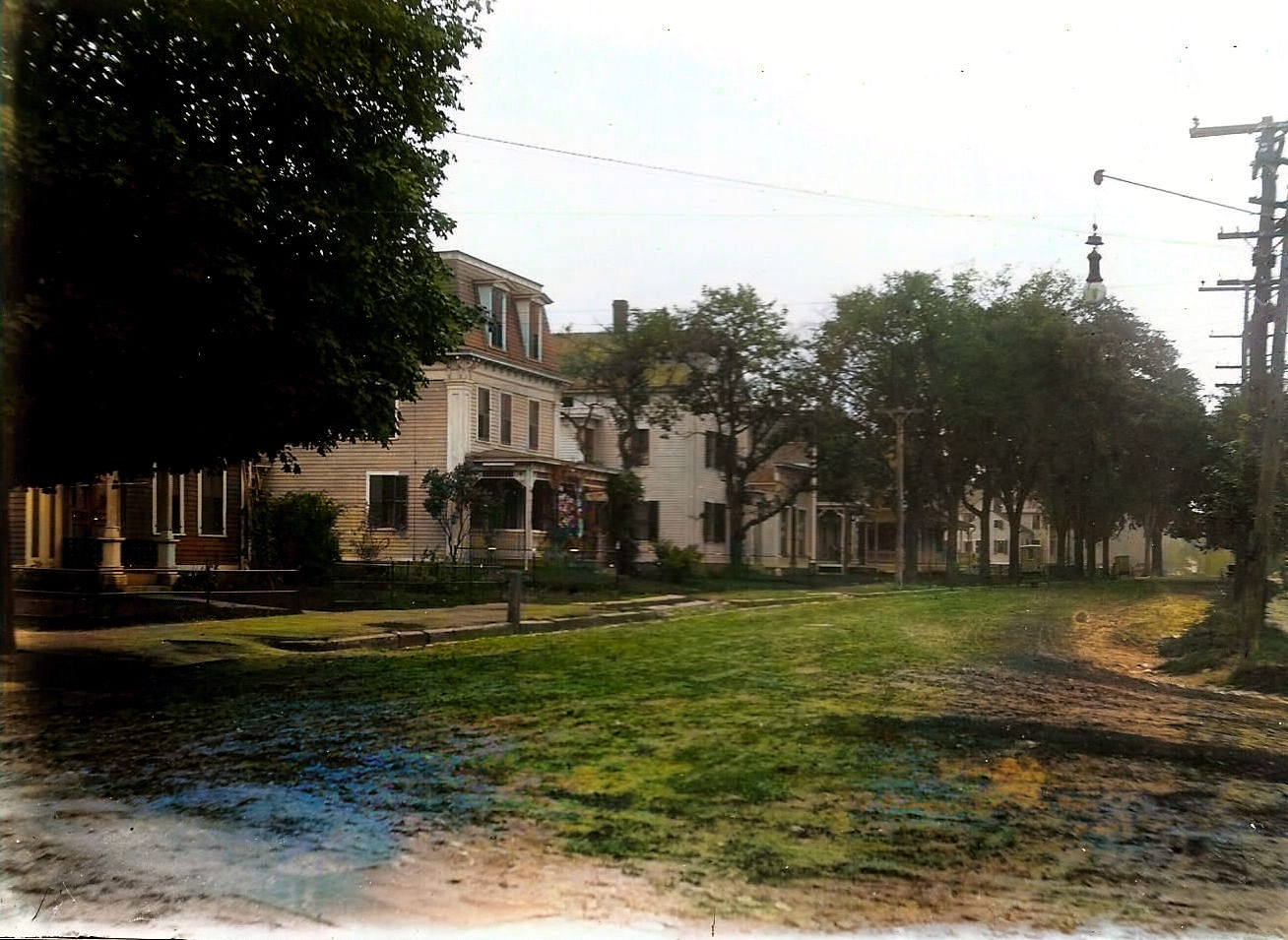
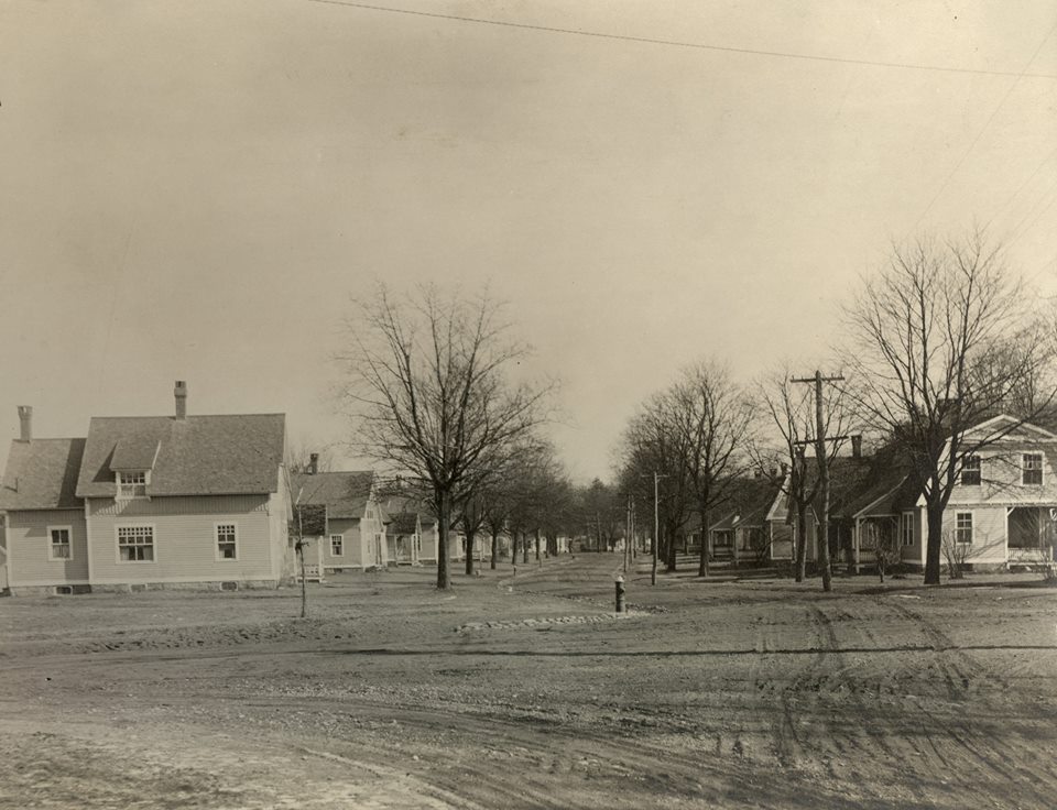
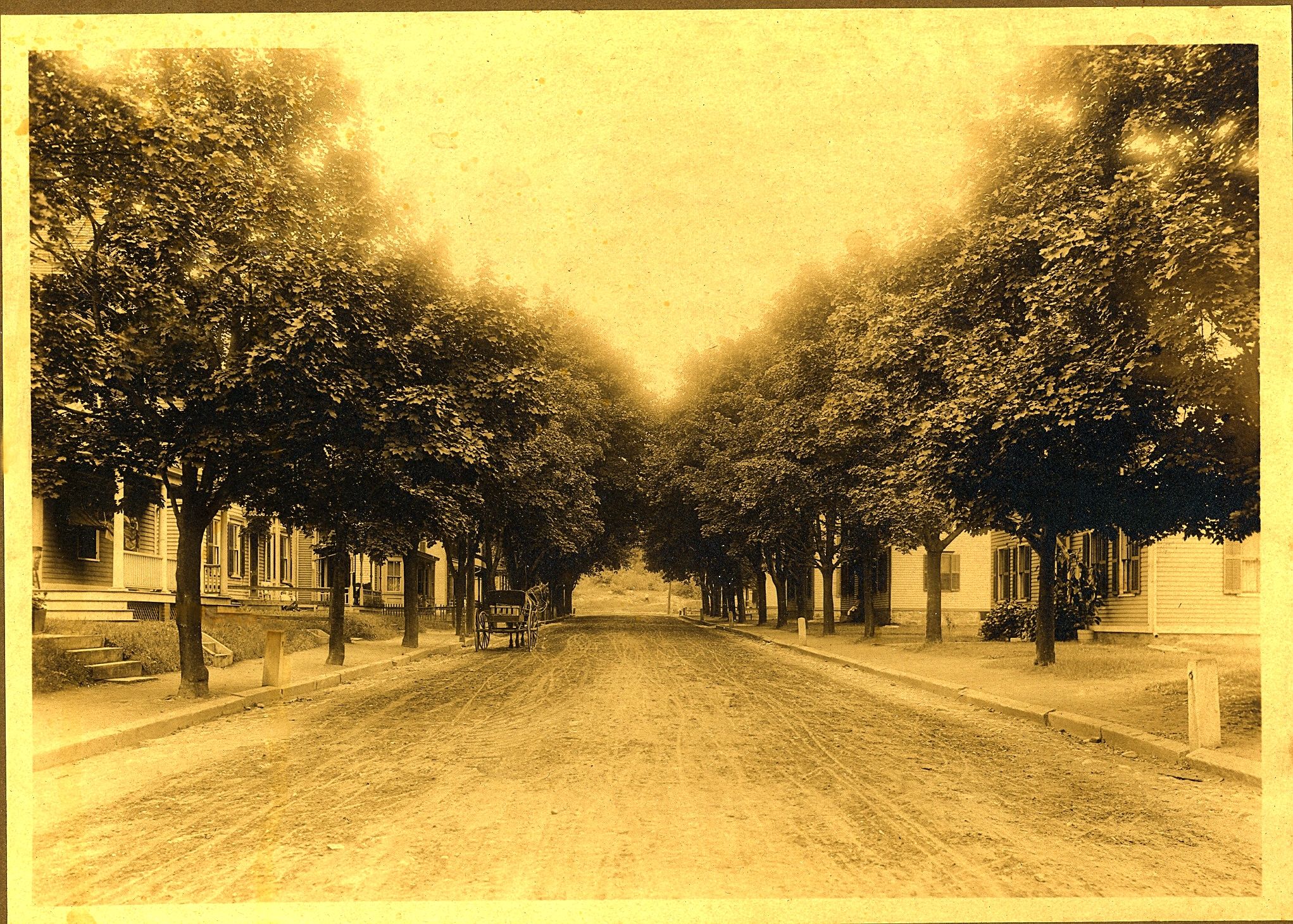
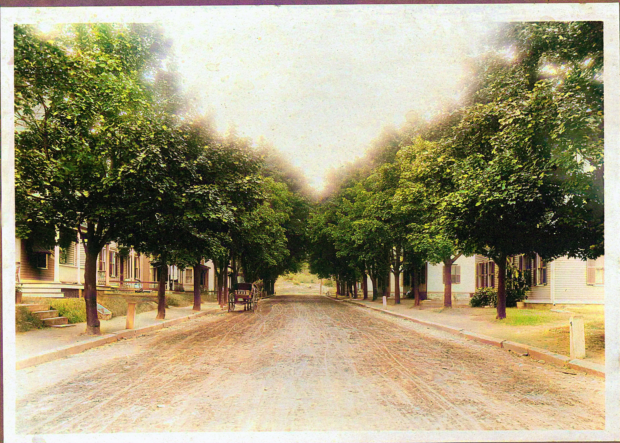
Prospect Street |
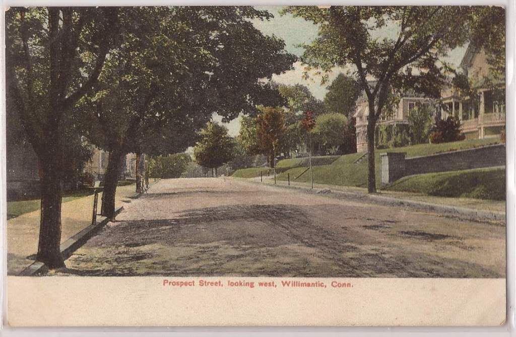
Prospect Street |
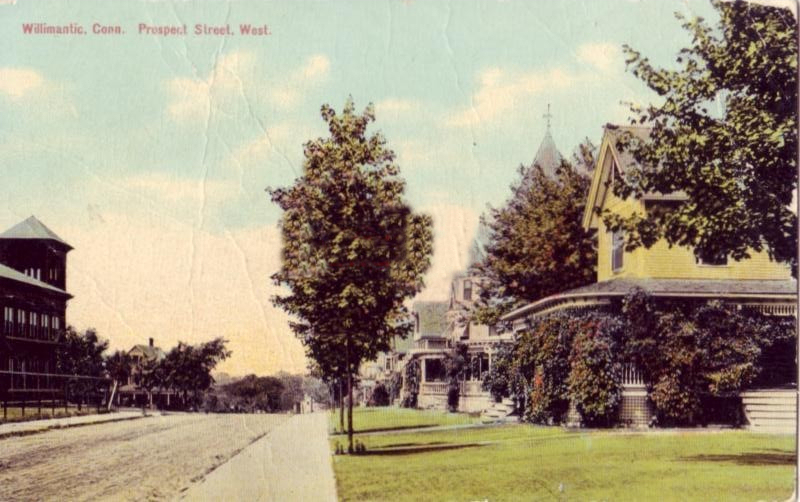
Prospect
Street |
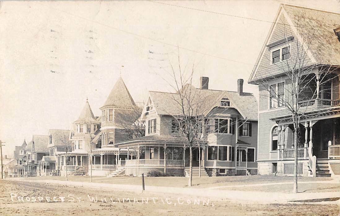
Prospect
Street |
Prospect Street -
facing West.
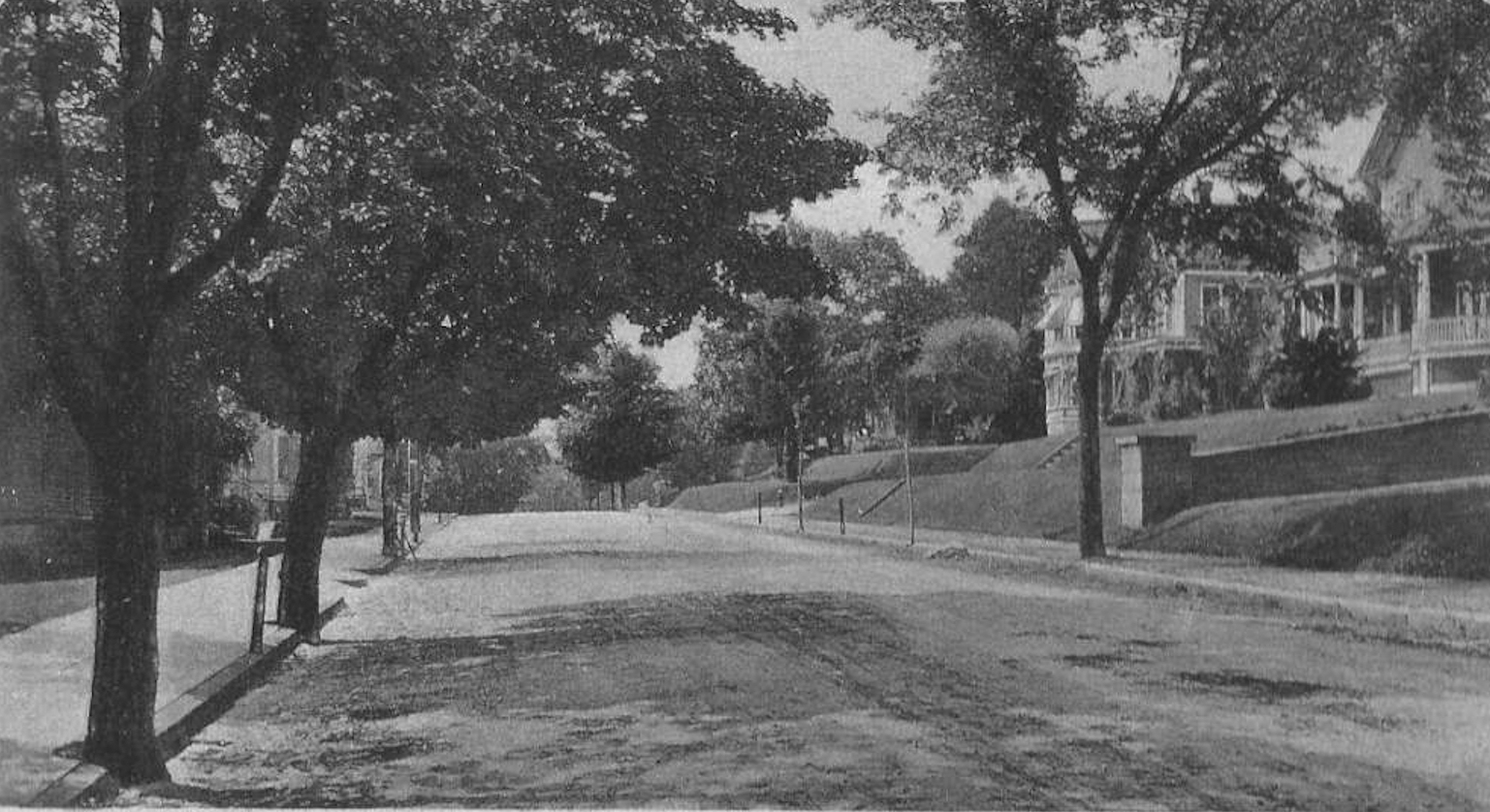
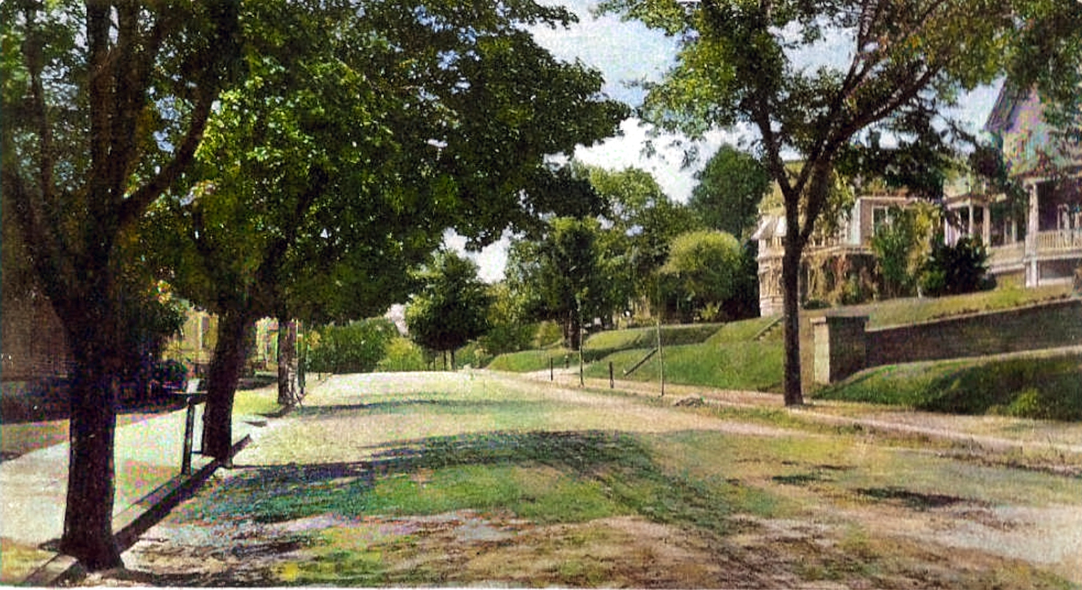
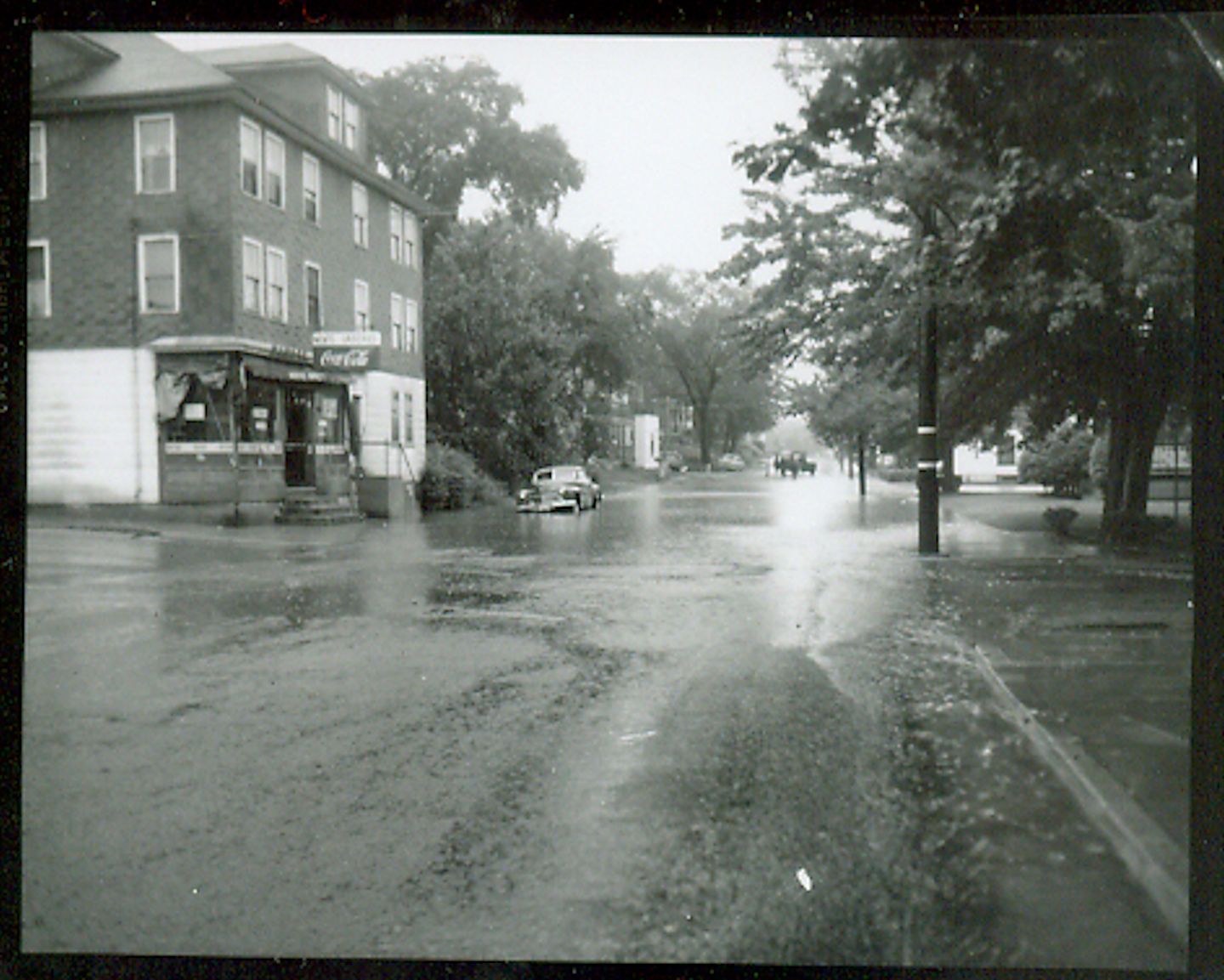
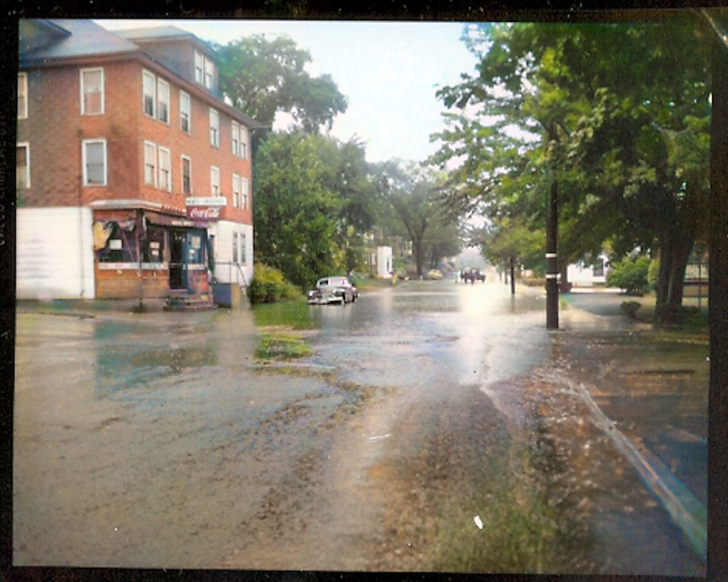
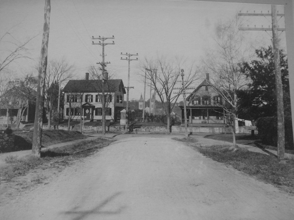
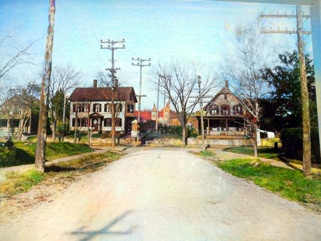
Prospect Street, facing West, between North and Church Streets
 |
 |
 |
 |
|
|
|
|
|
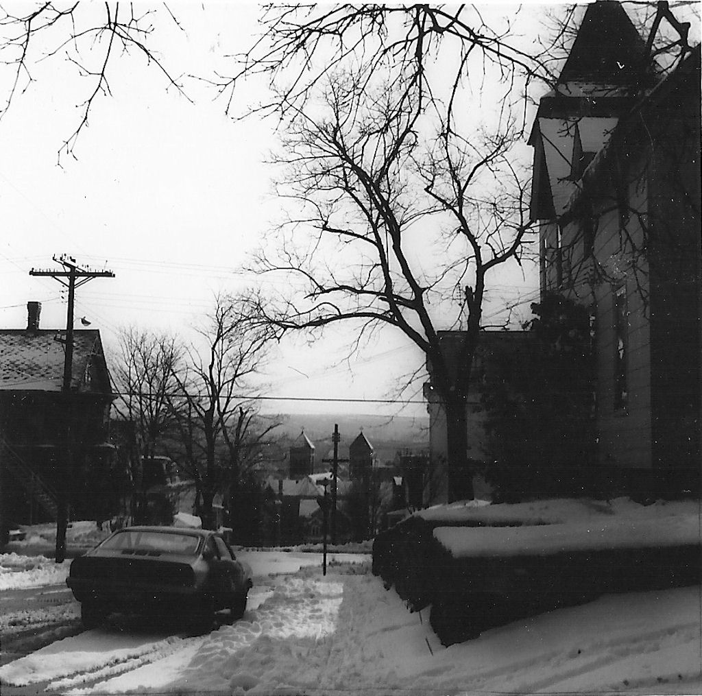
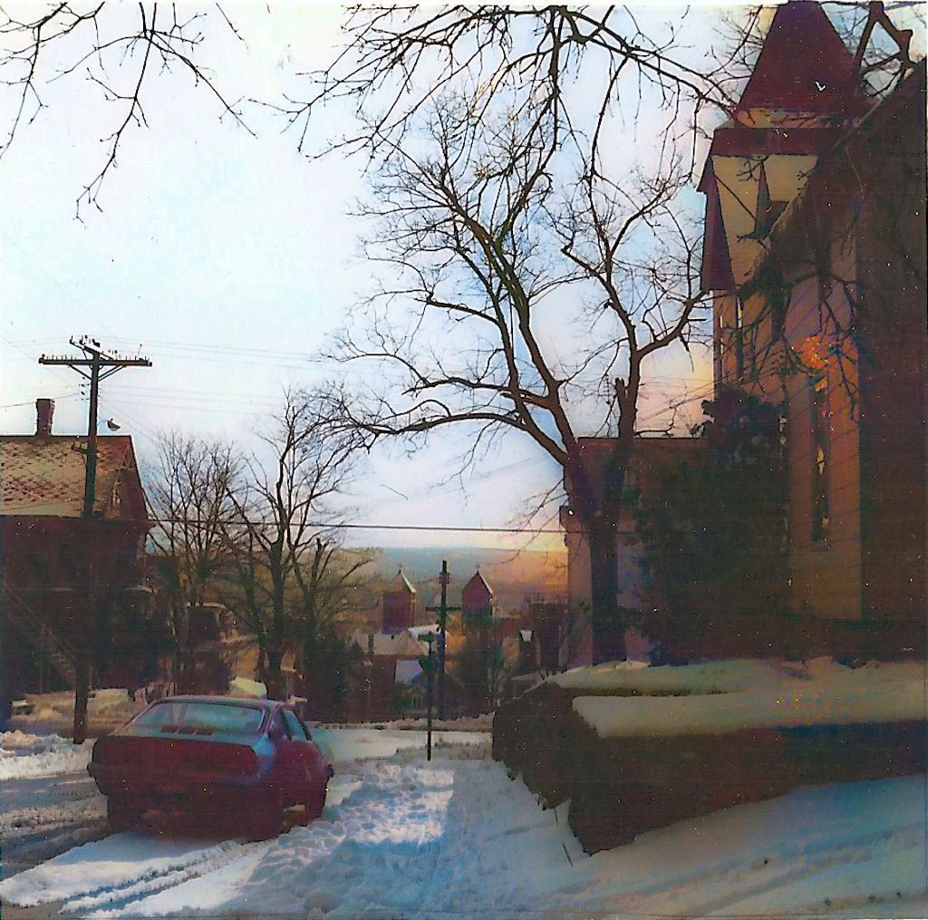
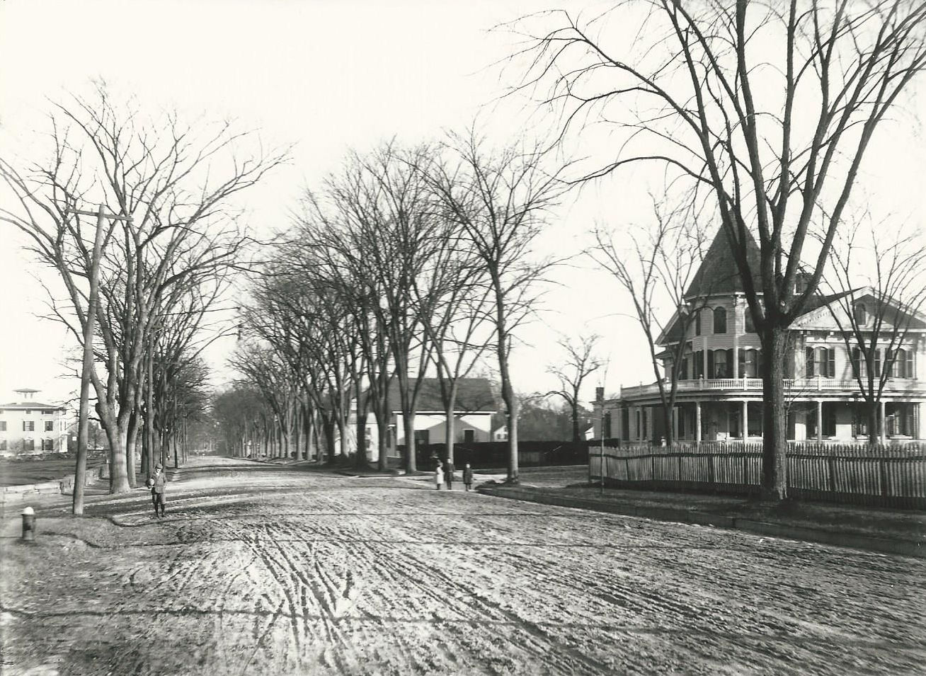
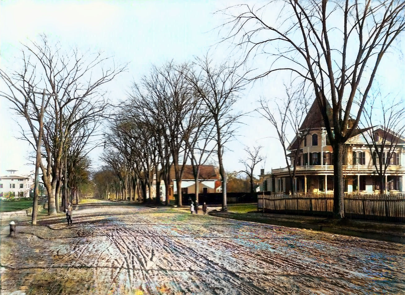
Bellevue
Street
 |
.JPG)
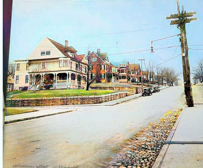 |
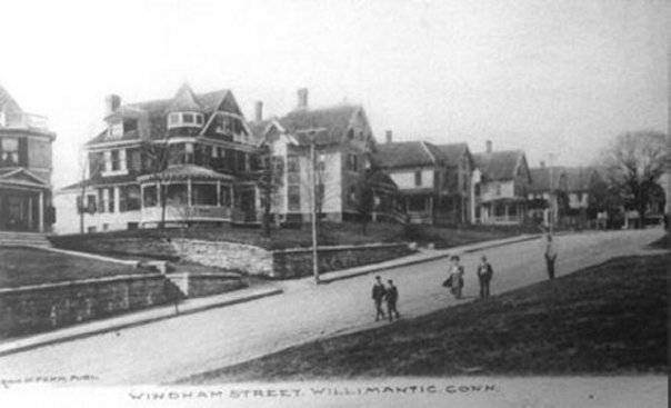
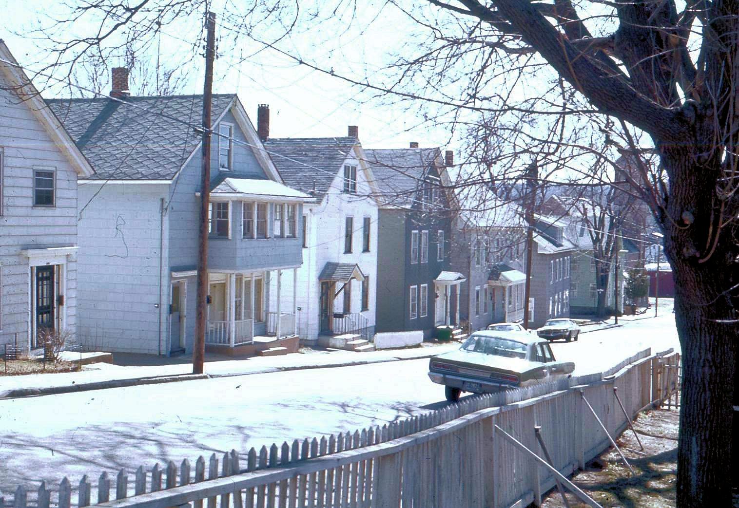
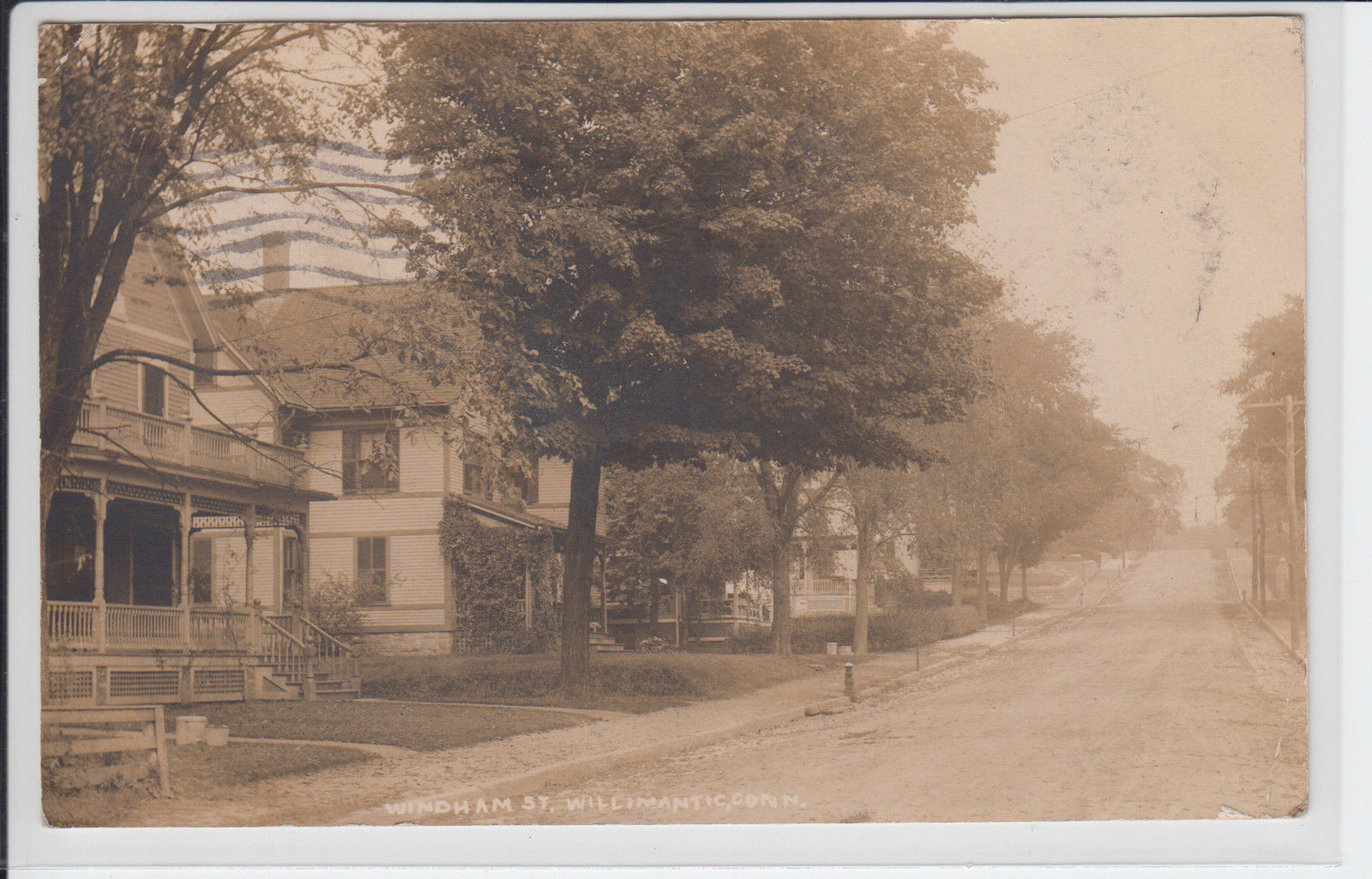
Windham
Street
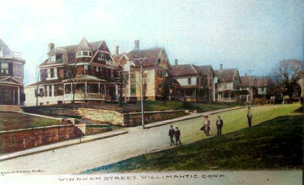 |
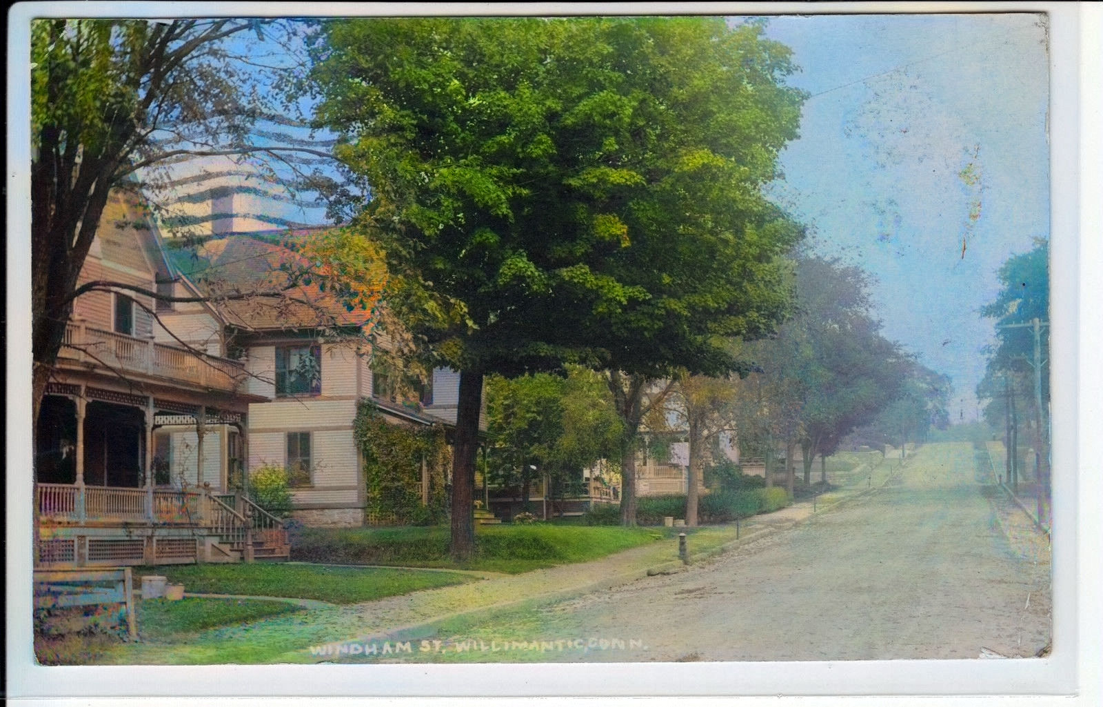
Windham
Street
 |
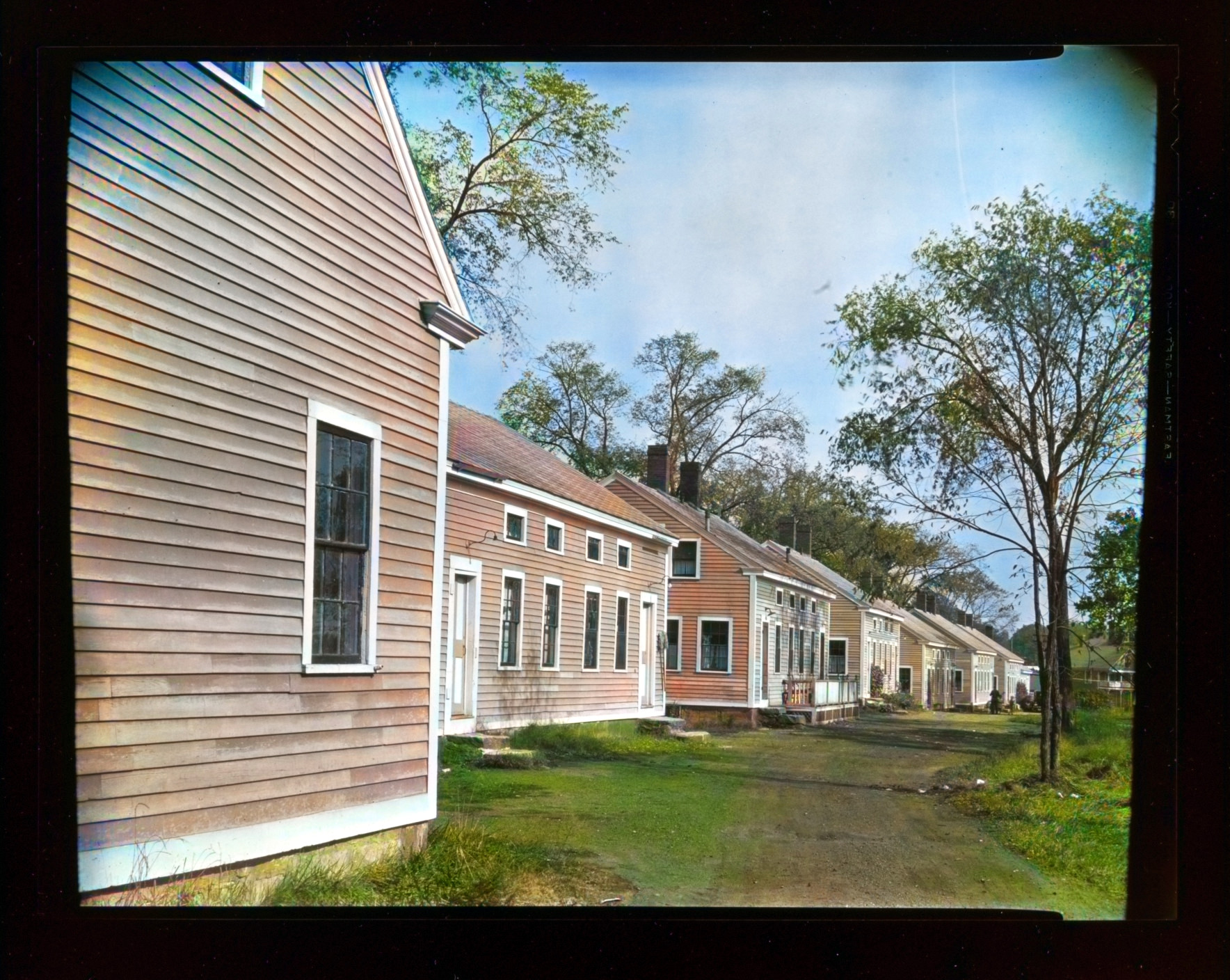
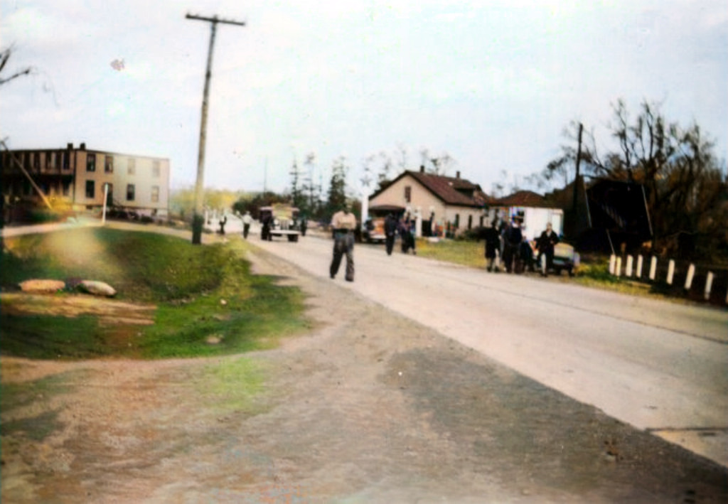
Babcock Court (off
Spring Street)This
is a picture taken in approximately the
1880's.The angle of the photo places the
photographer somewhere on Chestnut St. and we
think that the houses pictured are still on
Babcock Court.
 |
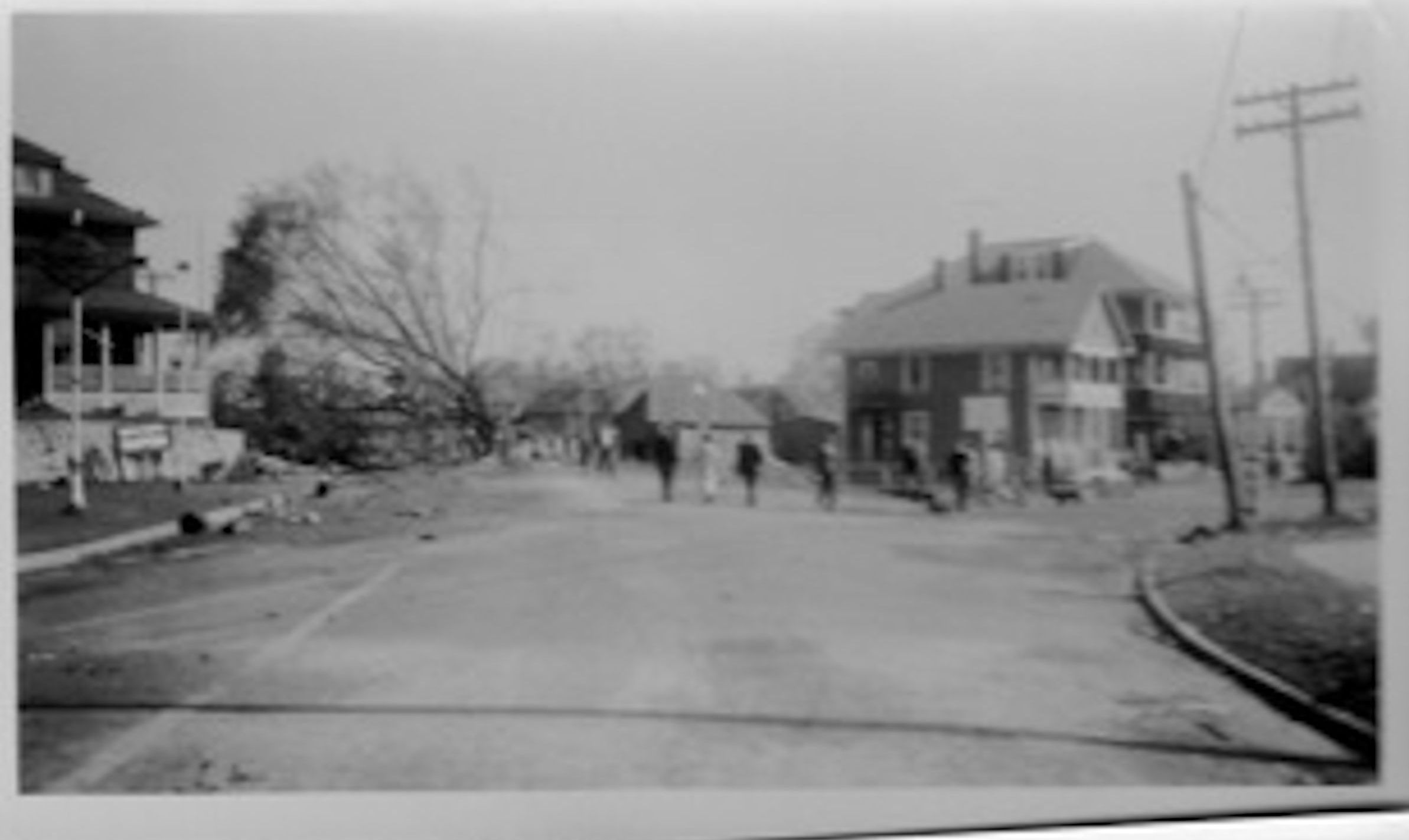
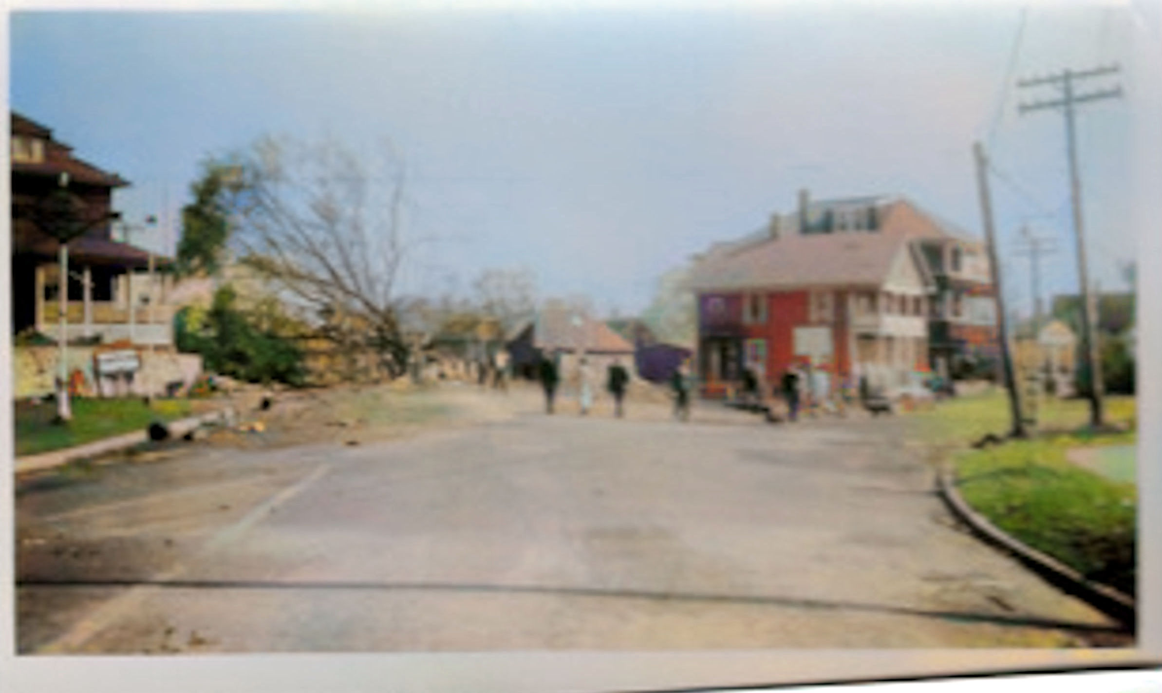
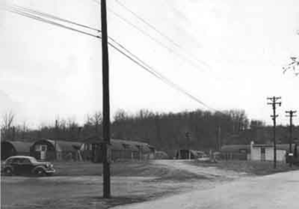
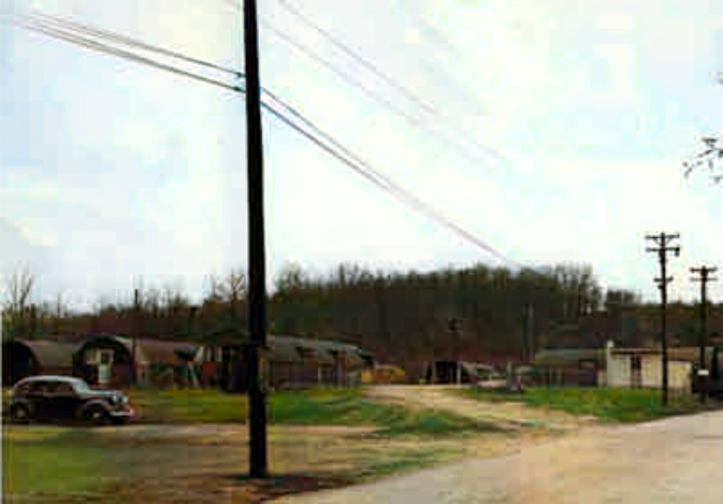
Cates Terrace barracks style housing
 |
|
|
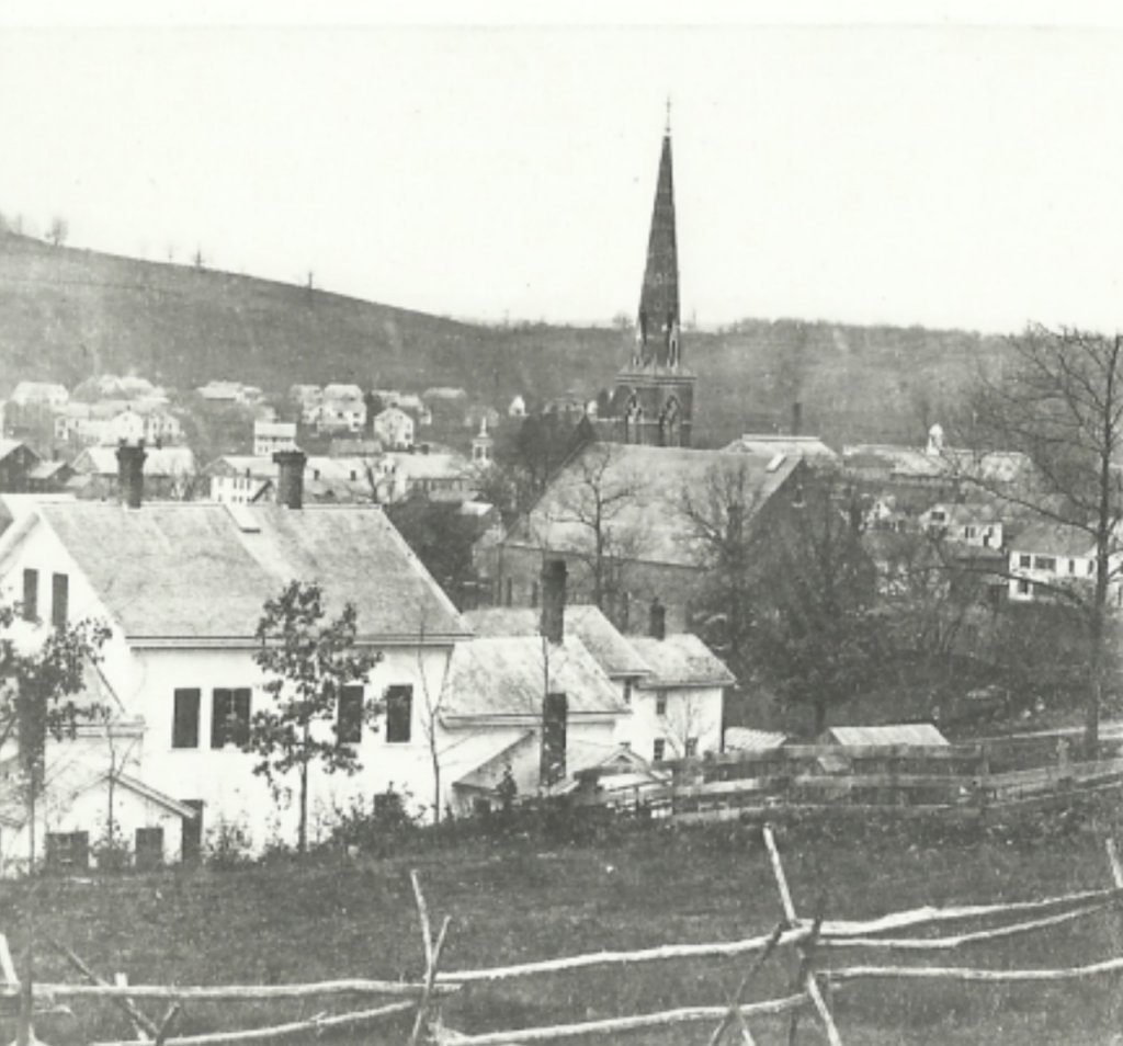
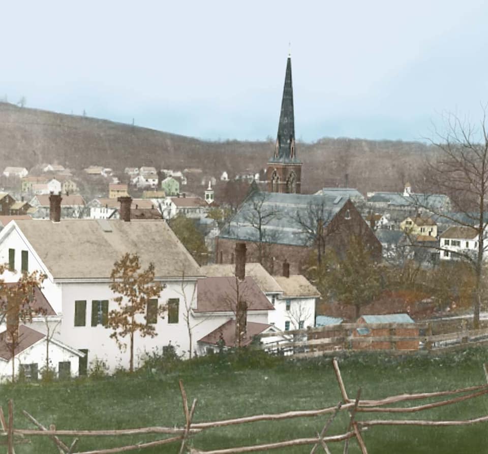
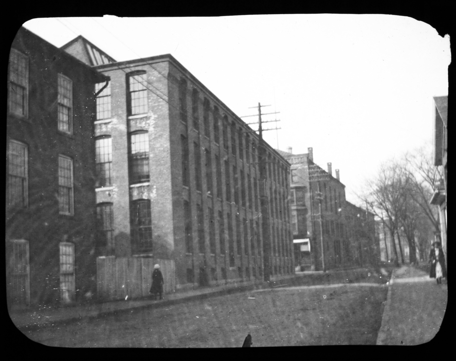
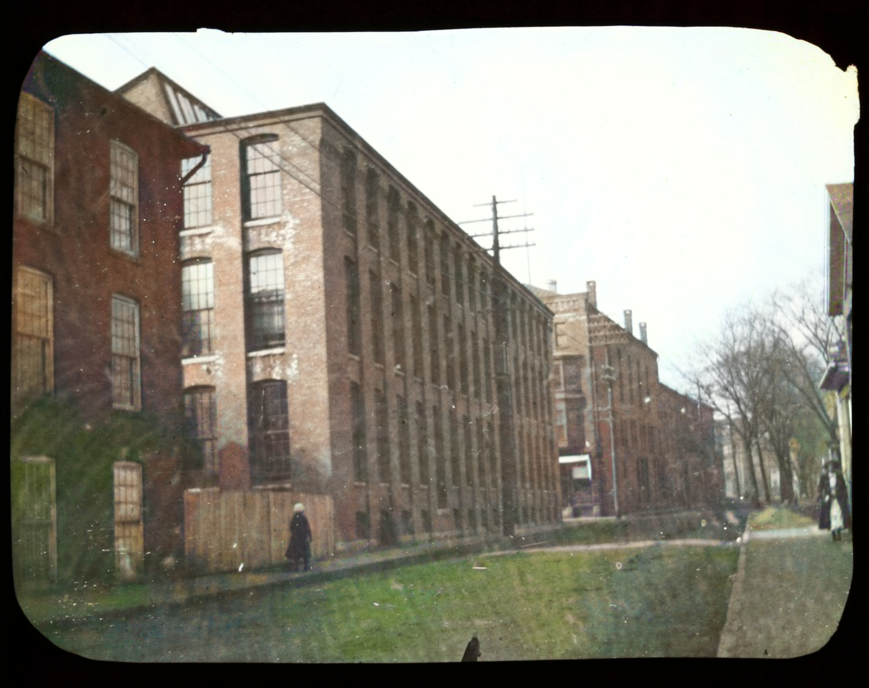
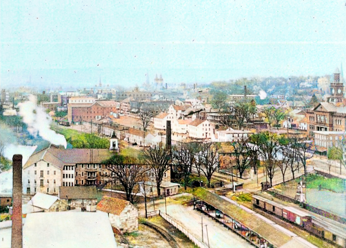
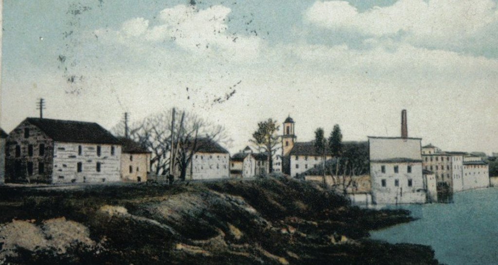
 Valley
Street looking west.This
is Valley Street looking west from approximately
in front of Saint Mary’s Church. The Holland
Mills buildings and storage shed are pictured.
Visble in the lower right side of the photo is
the wrought iron fence that is still in
existence in front of Saint Mary’s. Also visible
in the bottom left is the spire of the
Congregational Church. Valley
Street looking west.This
is Valley Street looking west from approximately
in front of Saint Mary’s Church. The Holland
Mills buildings and storage shed are pictured.
Visble in the lower right side of the photo is
the wrought iron fence that is still in
existence in front of Saint Mary’s. Also visible
in the bottom left is the spire of the
Congregational Church.
 |
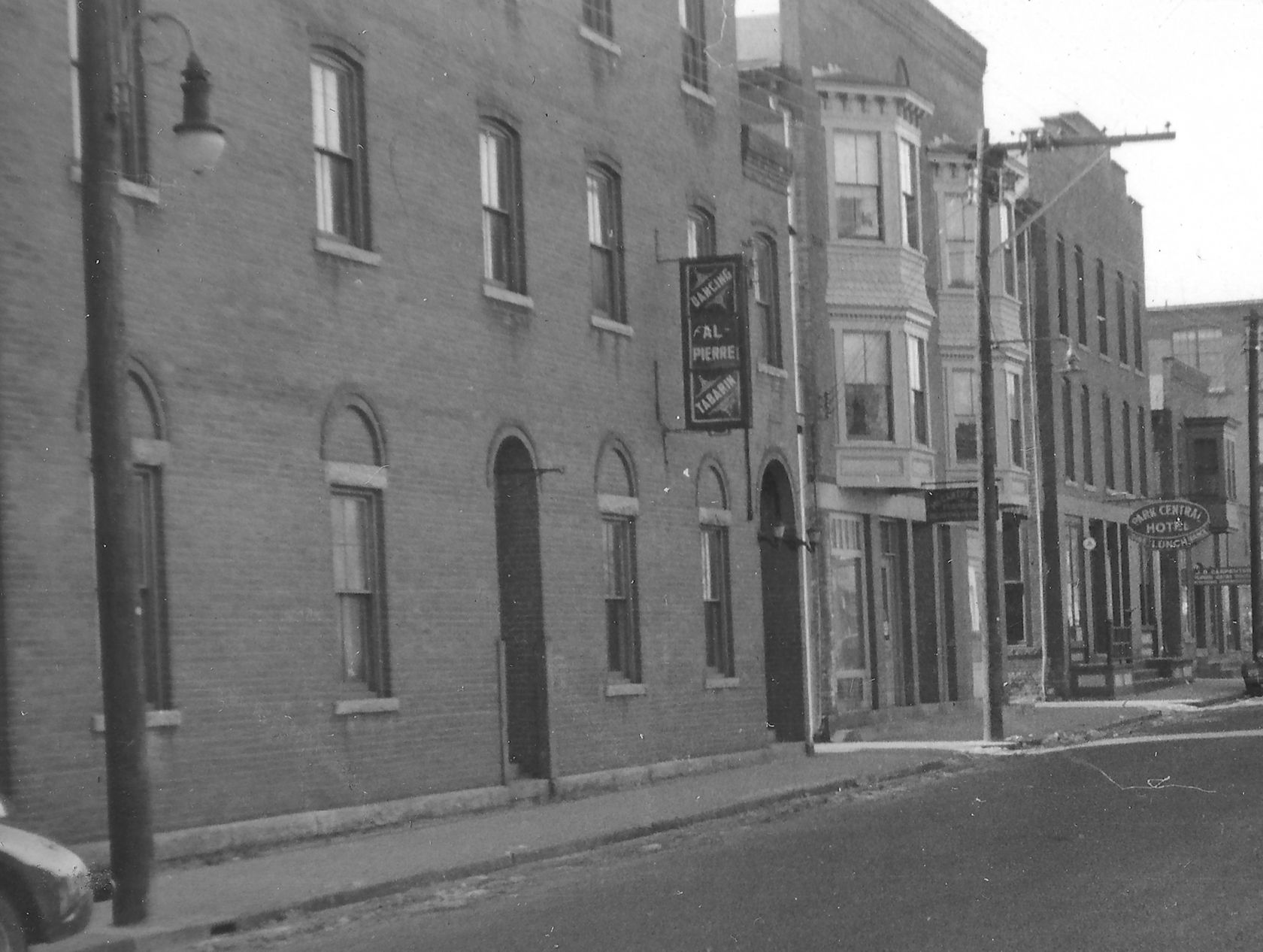
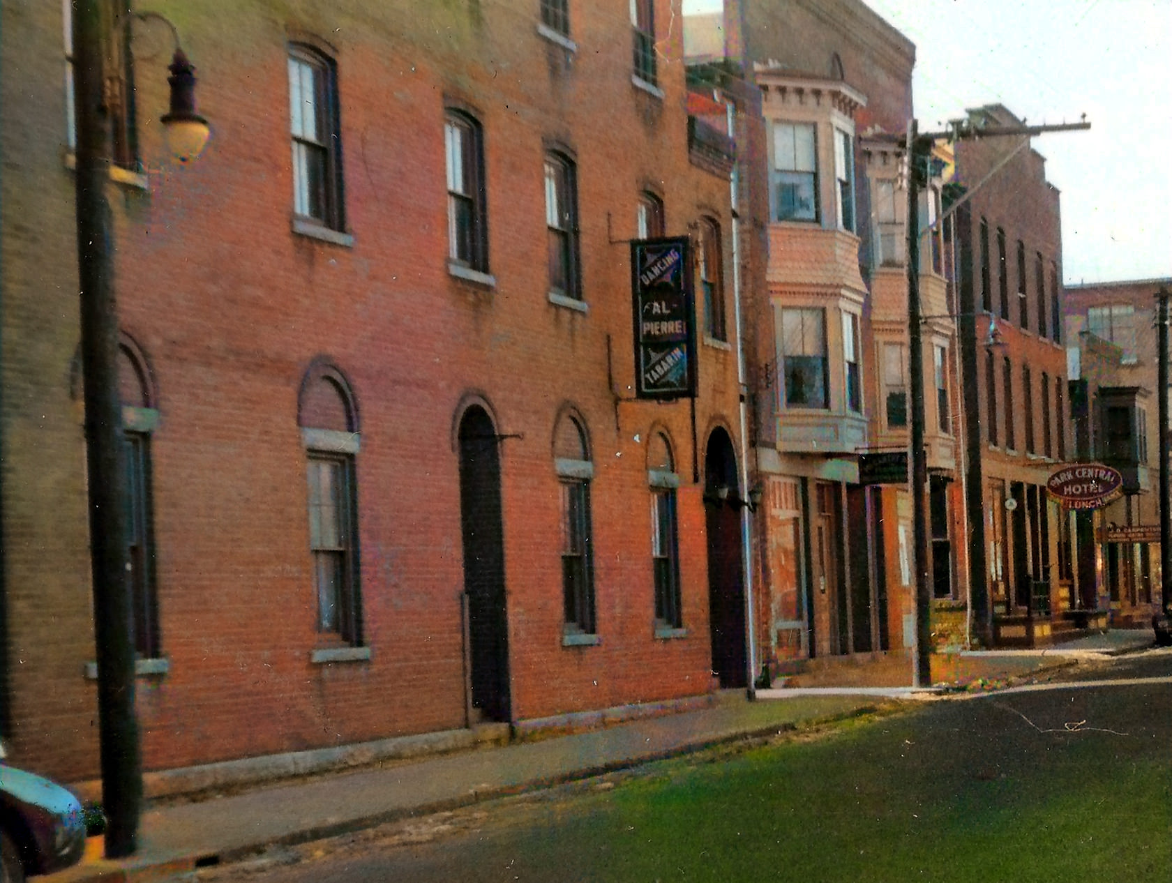
Valley Street
(looking west from Church St.)The
first building (partially visible) on the left
was the Chaffee Mfg. Company which made braid.
By 1950, Mayor Bergeron’s tin shop was there
along with a liquor store. The next building was
the Windham Silk Mill. By the 50s, it was
William Brand. Then, on the corner of North and
Valley, was the Washburn Block. Beyond the
Washburn block, is a group of buildings housing
the Willimantic Welfare Bureau (later home to
Watson’s Movers), the Women’s Christian
temperance Union, the Park Central Hotel, and
Carpenter’s auto radiator repair. Just about
visible to the left of the tree is the Turner
Silk Mill, later the Trade School.
 |
Valley Street -
looking west from Pearl Street -
The building
on the left was built in 1897 as Willimantic’s
second armory. Later it became a dance hall and
then home of Watson’s Movers. The next three
buildings housed McCarthy Brothers Plumbing and
Heating, then the Park Central Hotel, and J.B.
Carpenter Plumbing. The Trade School can be seen
on the far right.
 |
West side of
Church Street
at Valley Street.This
is the west corner of Church and Valley streets
in 1910. The building with the sign was the
Willimantic Printing Company at 88 Church St.
The next building was Chaffee Manufacturing. It
produced nylon fishing line and braided silk).
Across Valley Street was the west mill of
Holland Manufacturing
 |
Valley Street
- looking East toward Birch St.
 |
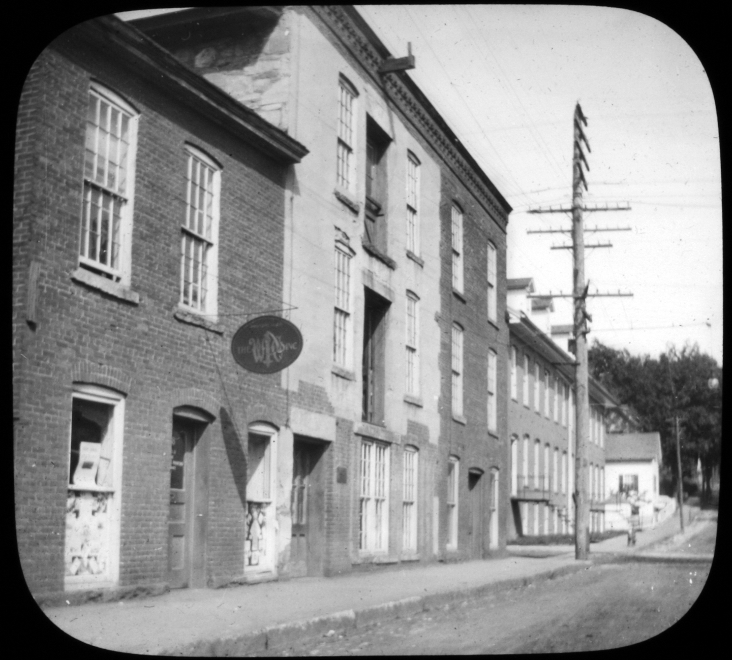
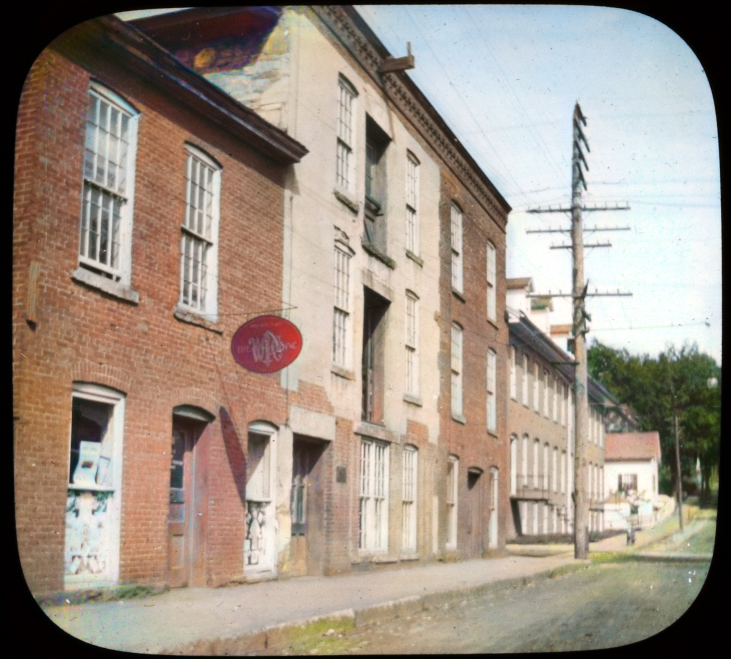
 Meadow
Street Meadow
Street
Looking west from Bank Street. This is the
location of the present day Public Safety
Complex.
 |
 |
|
|
|
|
|
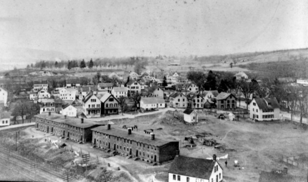
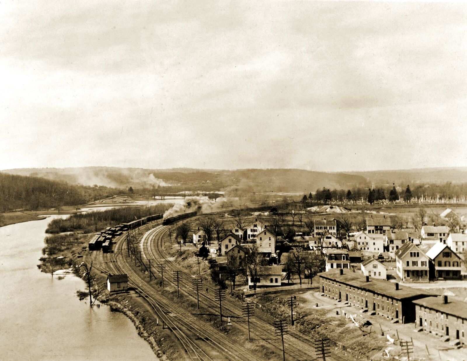
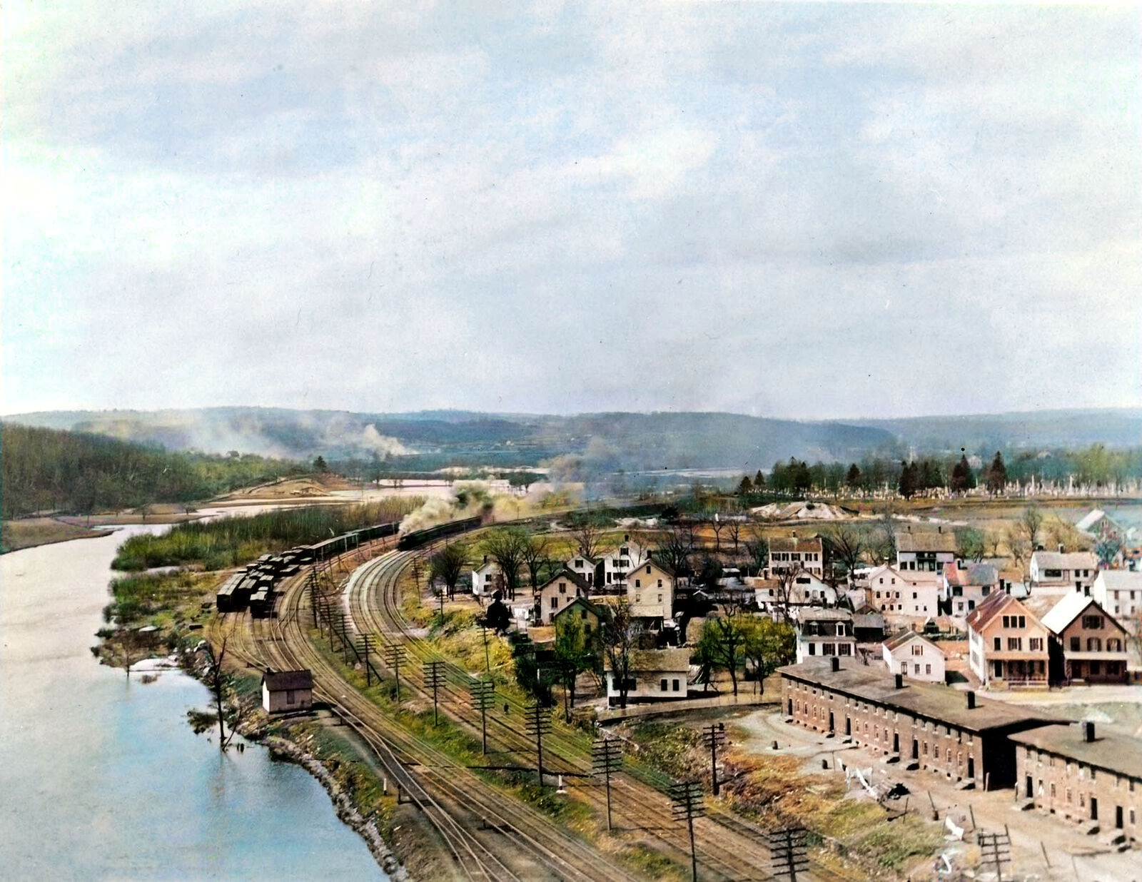
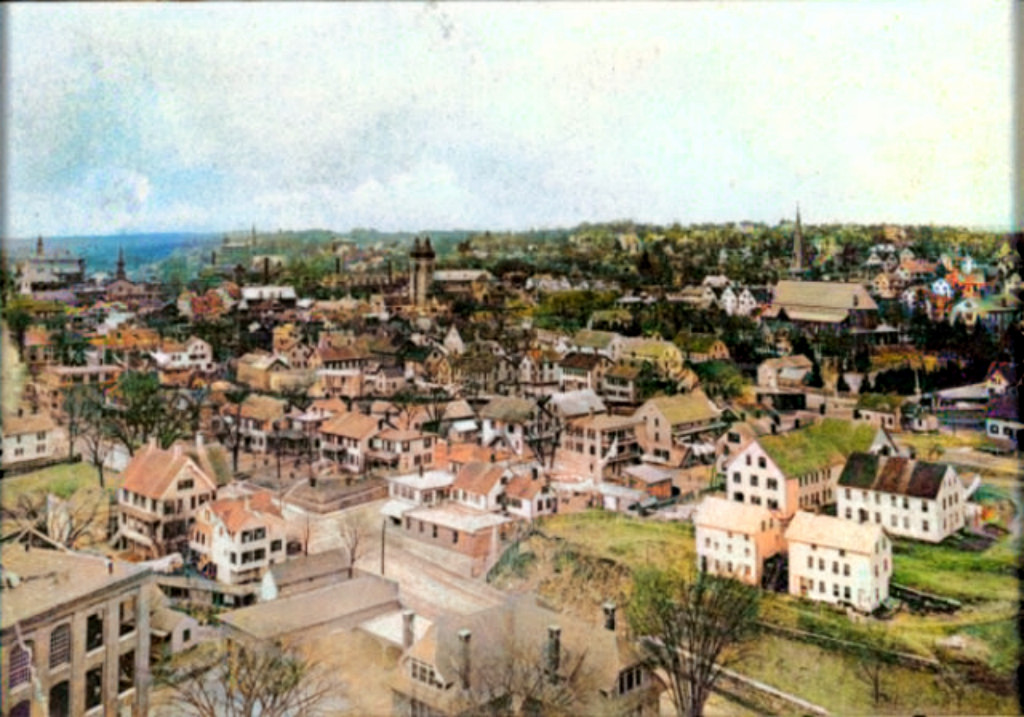
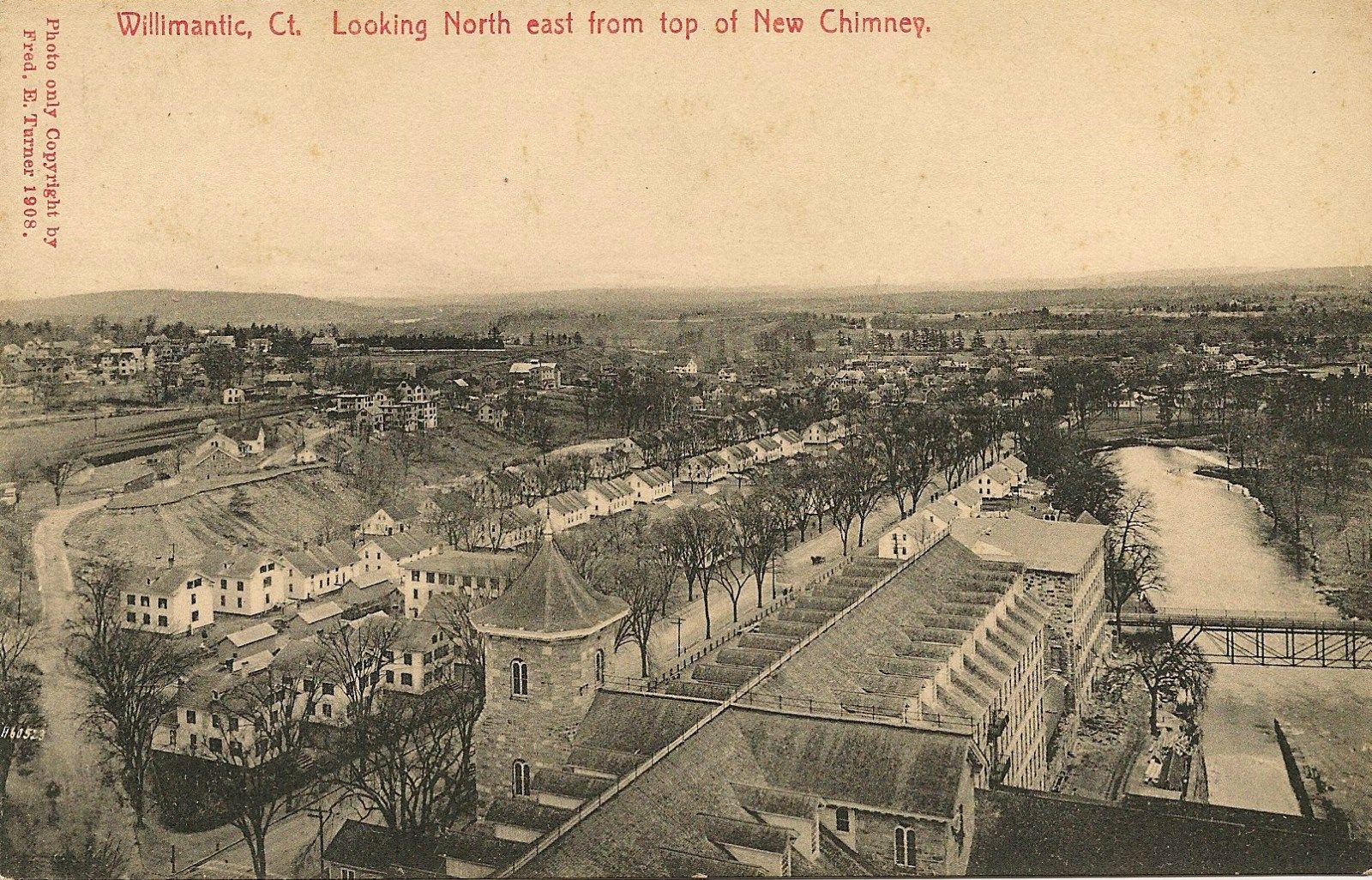
Vermont Drive - 1908
Photographer Julian Beville climbed the
smokestack of the Quidnick Windham Mills and
took the next few photos. Vermont Drive was
originally named Brick Row
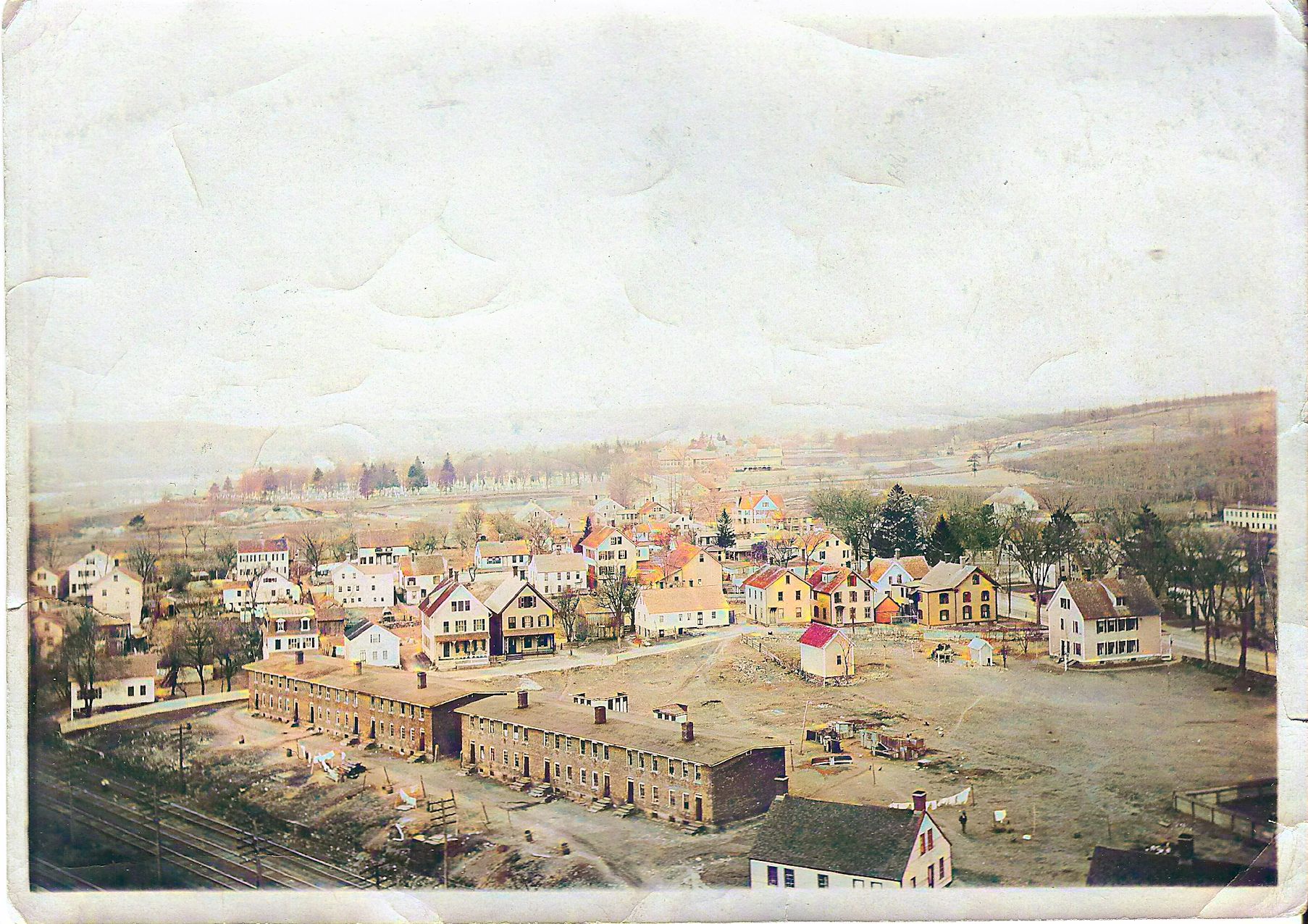 |
Vermont
Drive
Beville Photo - Looking West -
The brick buildings are on Vermont Drive.
Arnold's Lane, Winter St and Wilson St. are in
the picture. Beyond that, there is very little
growth.
 |
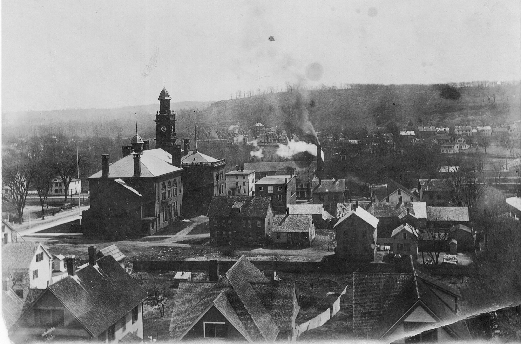
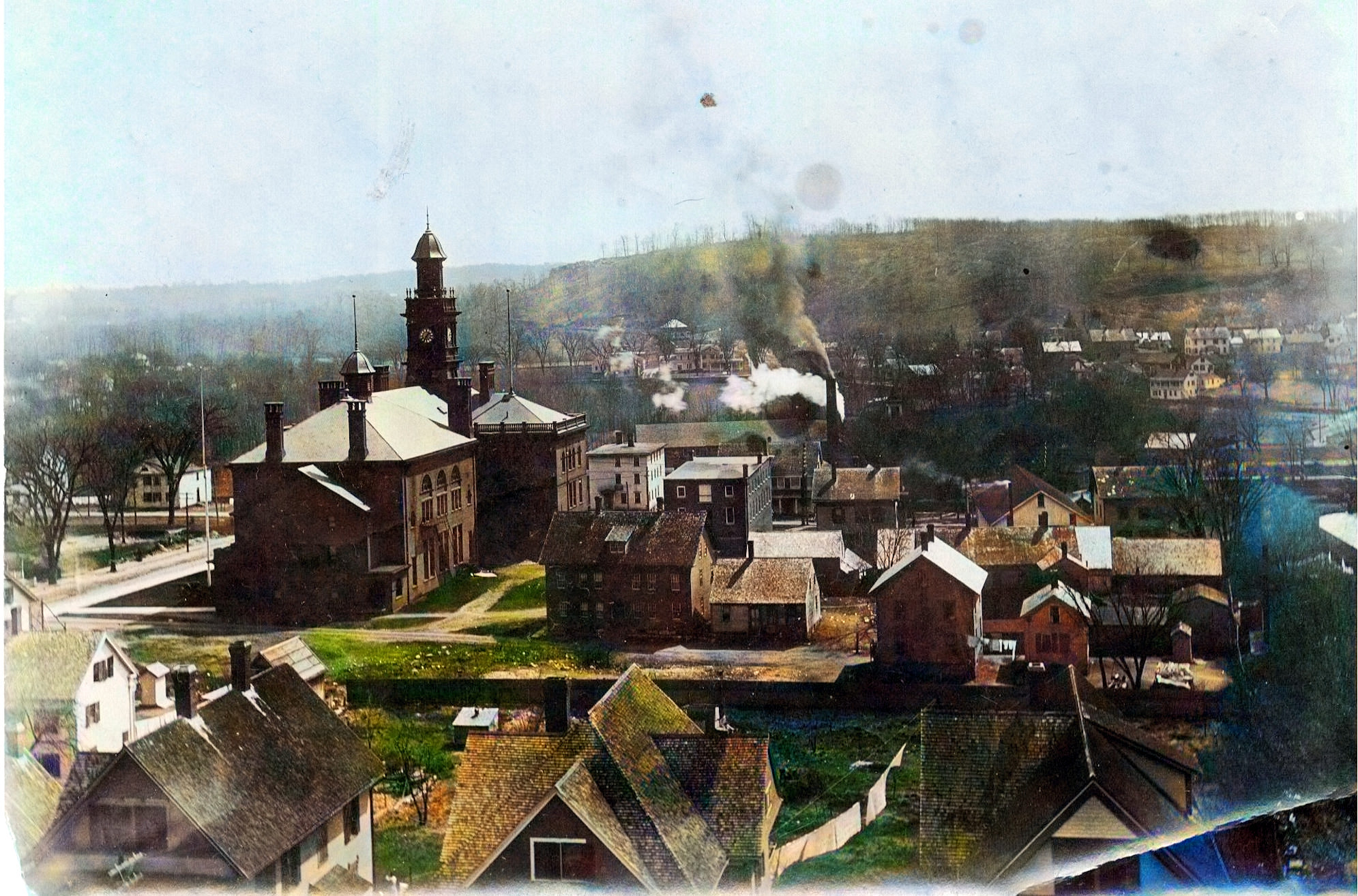
Looking East
Beville Photo
The Town Hall is on the left. Also visible is
"White Row", Quidnick Windham's worker housing
on Main Street.
|
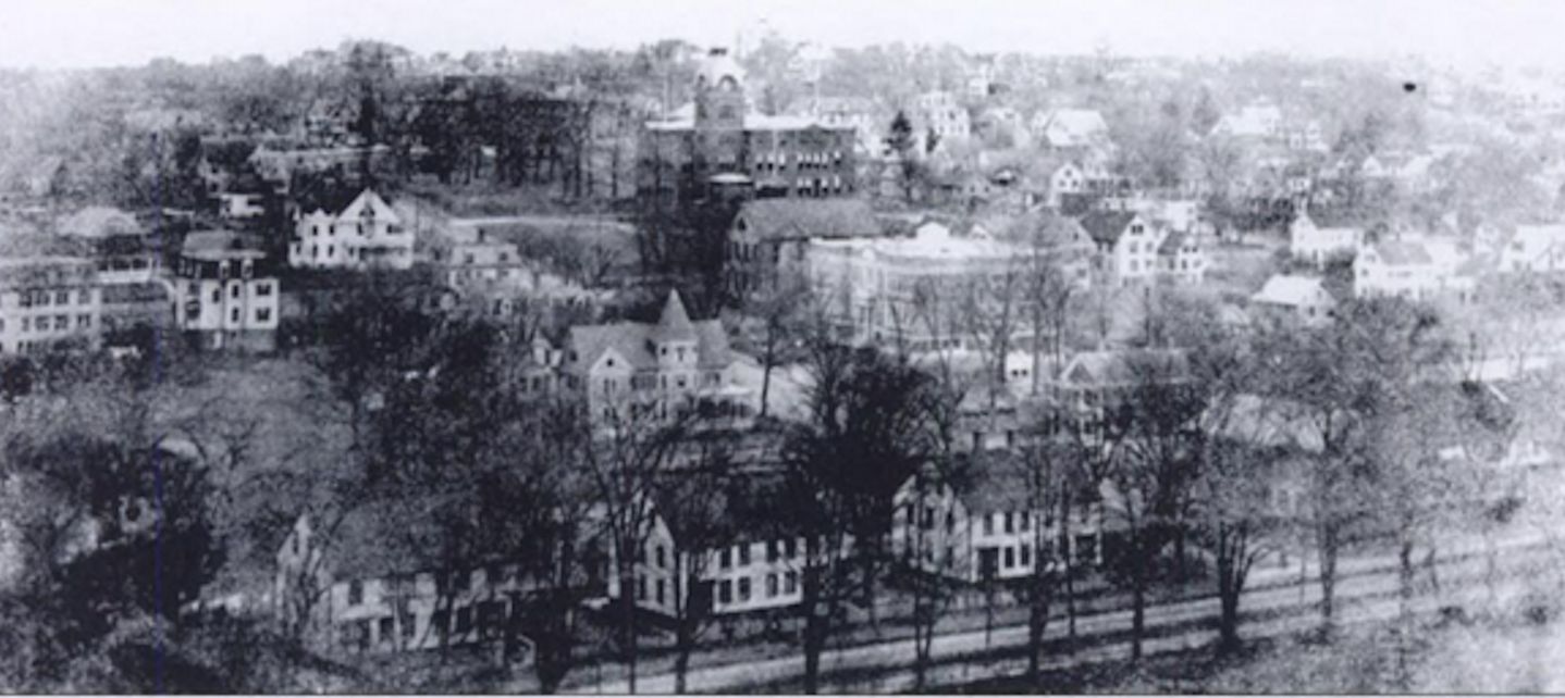
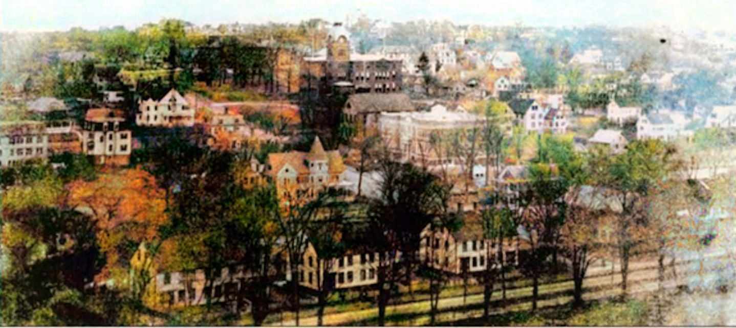
Looking Northeast
Beville Photo
In this photo, the Normal School is top center.
Slightly below and right is the Firt District
schoolhouse and the new Model School.
 |
 |
High and ValleyBeville
PhotoThis
is the intersection of Valley and High with the
steeple of the First Congregational church in
the background (the one that blew down in the
1938 hurricane). To the left of the
Congregational Church's steeple, one can make
out one of St. Mary's steeples (they were
modified in about 1958) and, to the left of
that, very faintly, St. Joseph's pre-hurricane
steeple.
 |
 High and ValleyBeville
Photo High and ValleyBeville
Photo
|
1908 view of
Hosmer MountainBeville
Photo - Bridge
Street is easily recognizable by the houses and
natural landscape . Hosmer Mountain dominates
the background. Bridge Street eventually runs
into Pleasant Street. The curved road in the
distance leading to the hill is part of Mountain
Street. You can see the road cut up the side of
the mountain.
 |
Maple Avenue.
|
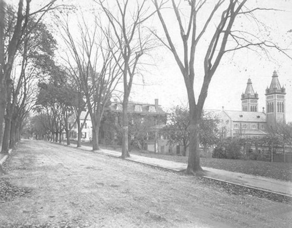
Maple Avenue.
Saint Mary's Convent is centered in the
photo.
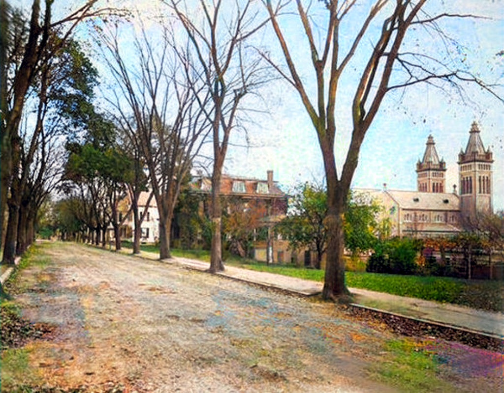 |
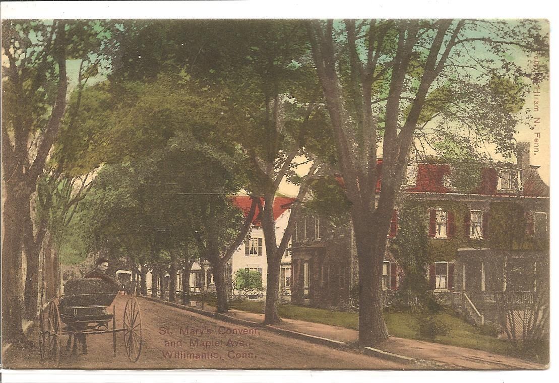
Maple Avenue.
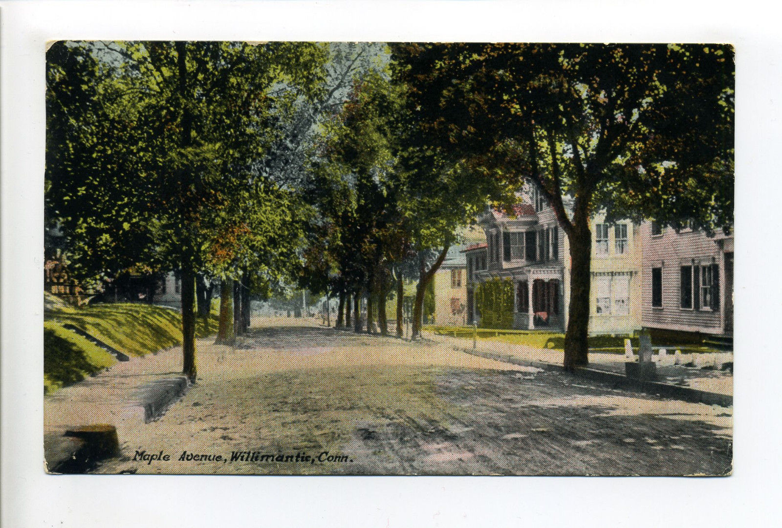
Maple Avenue.
|
An
interesting view of Natchaug School
as seen from Maple Avenue.
|
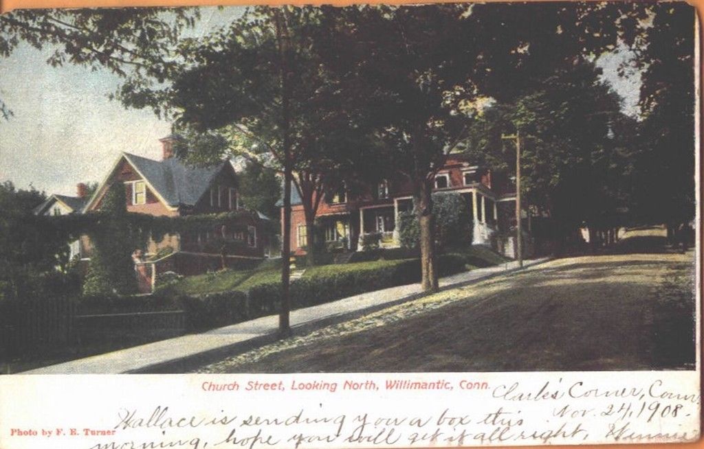
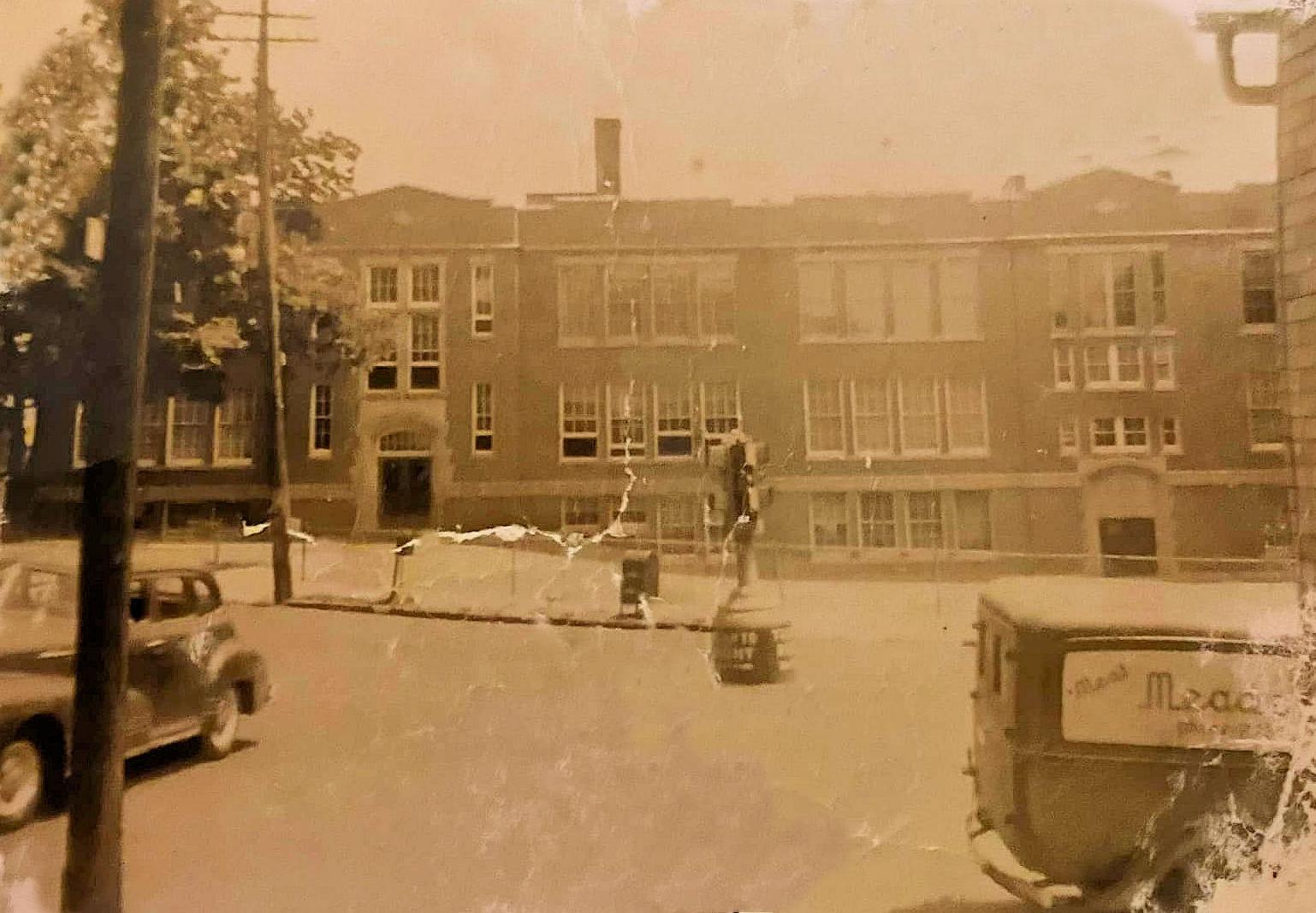
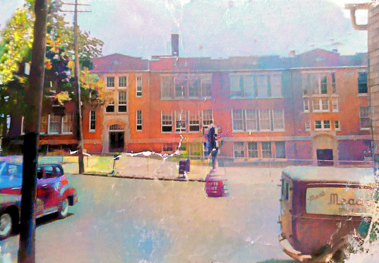
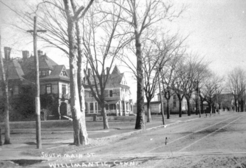
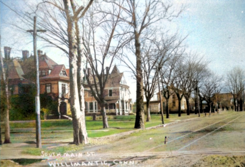
Church Street |
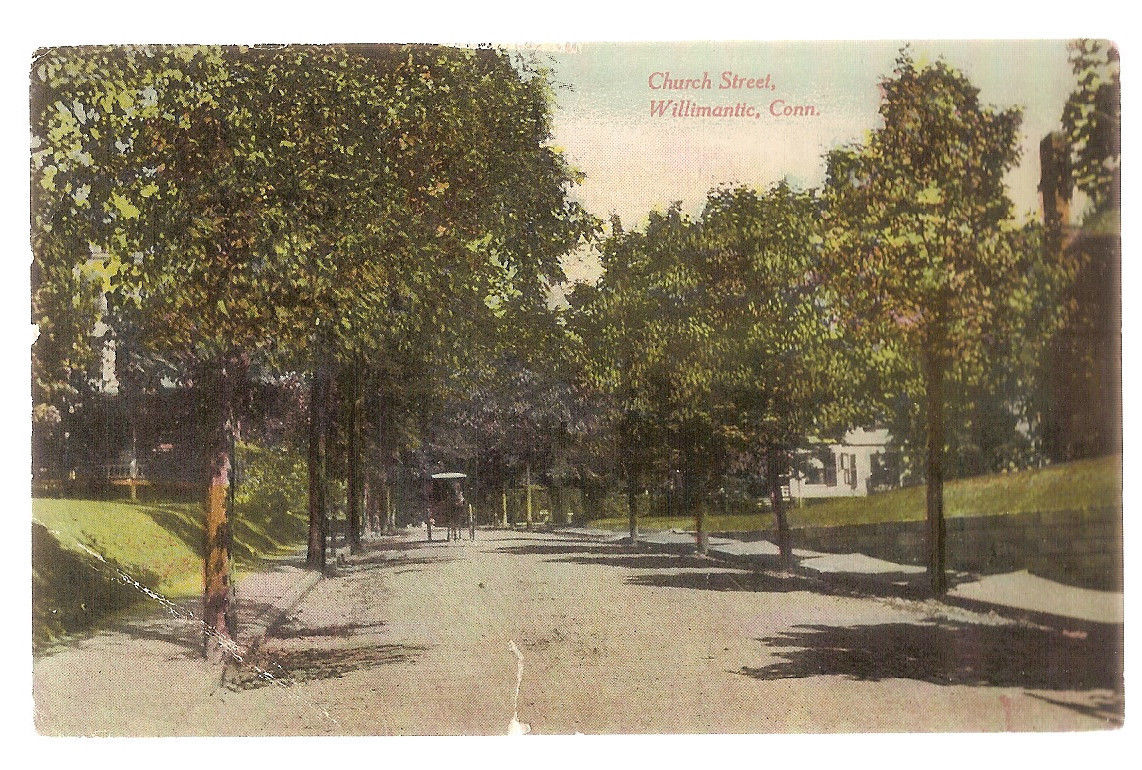
Church Street |
Very early
Church Street
 |
|
 |
|
 |
|
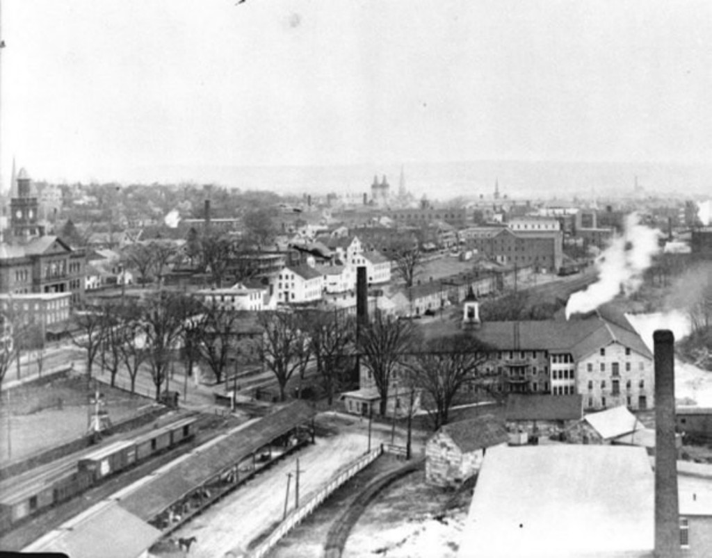
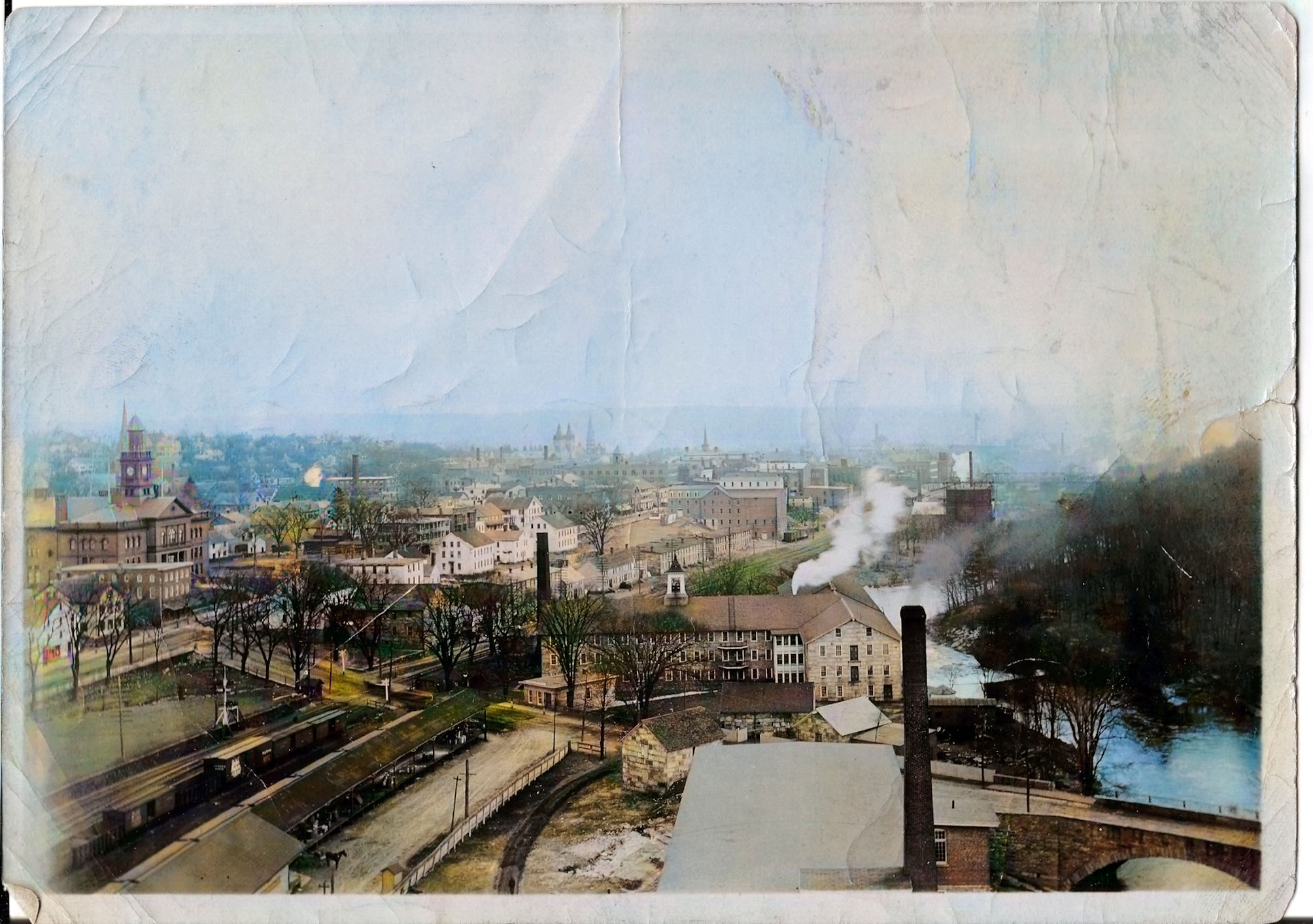
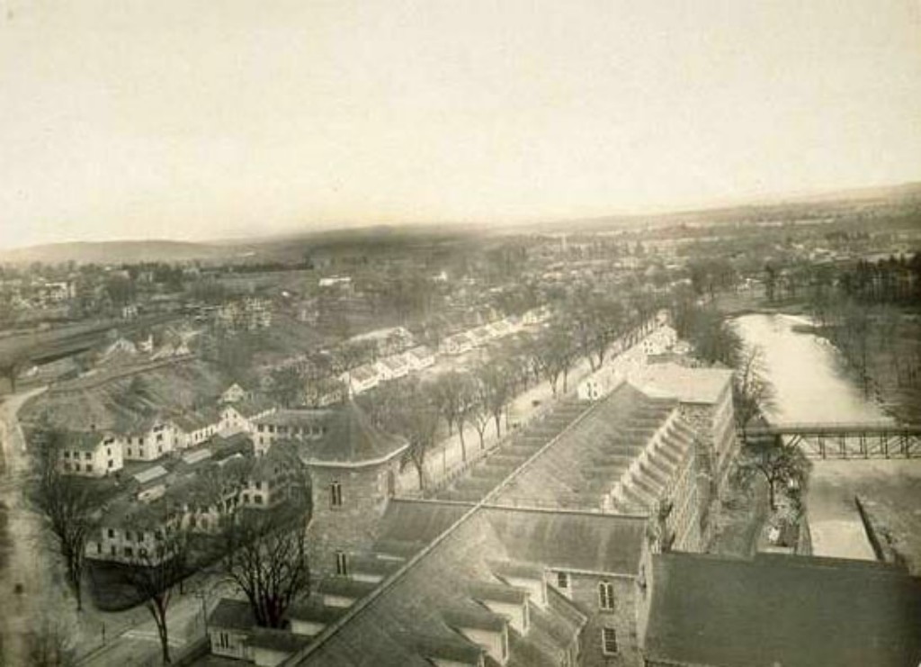
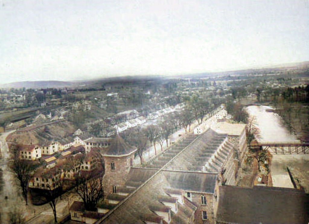
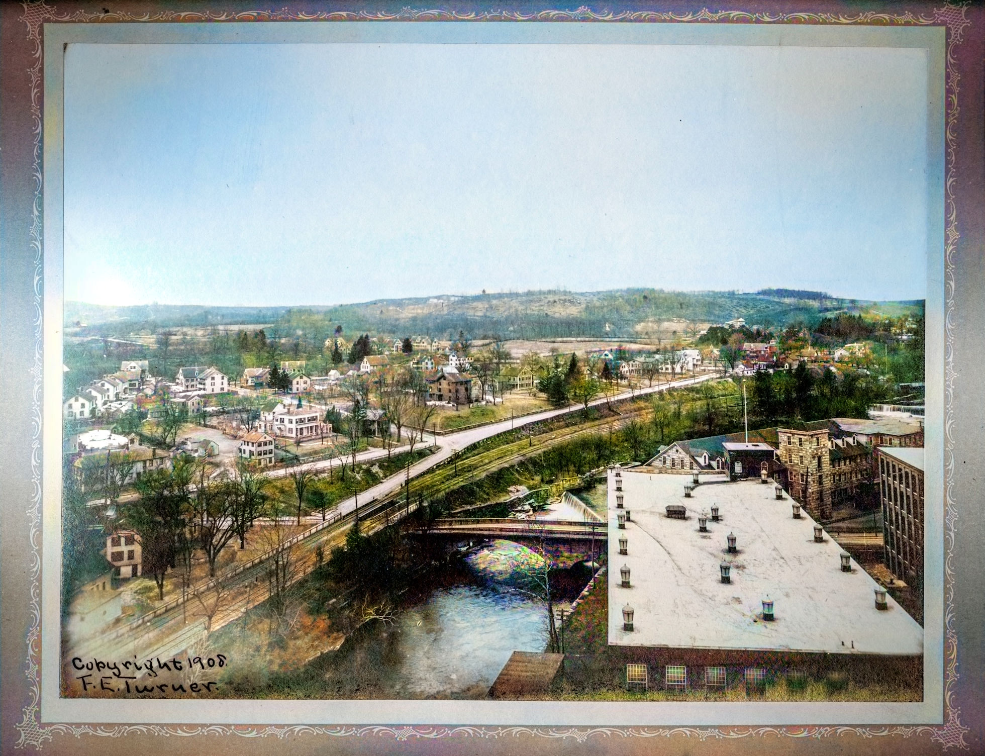
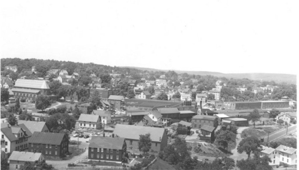
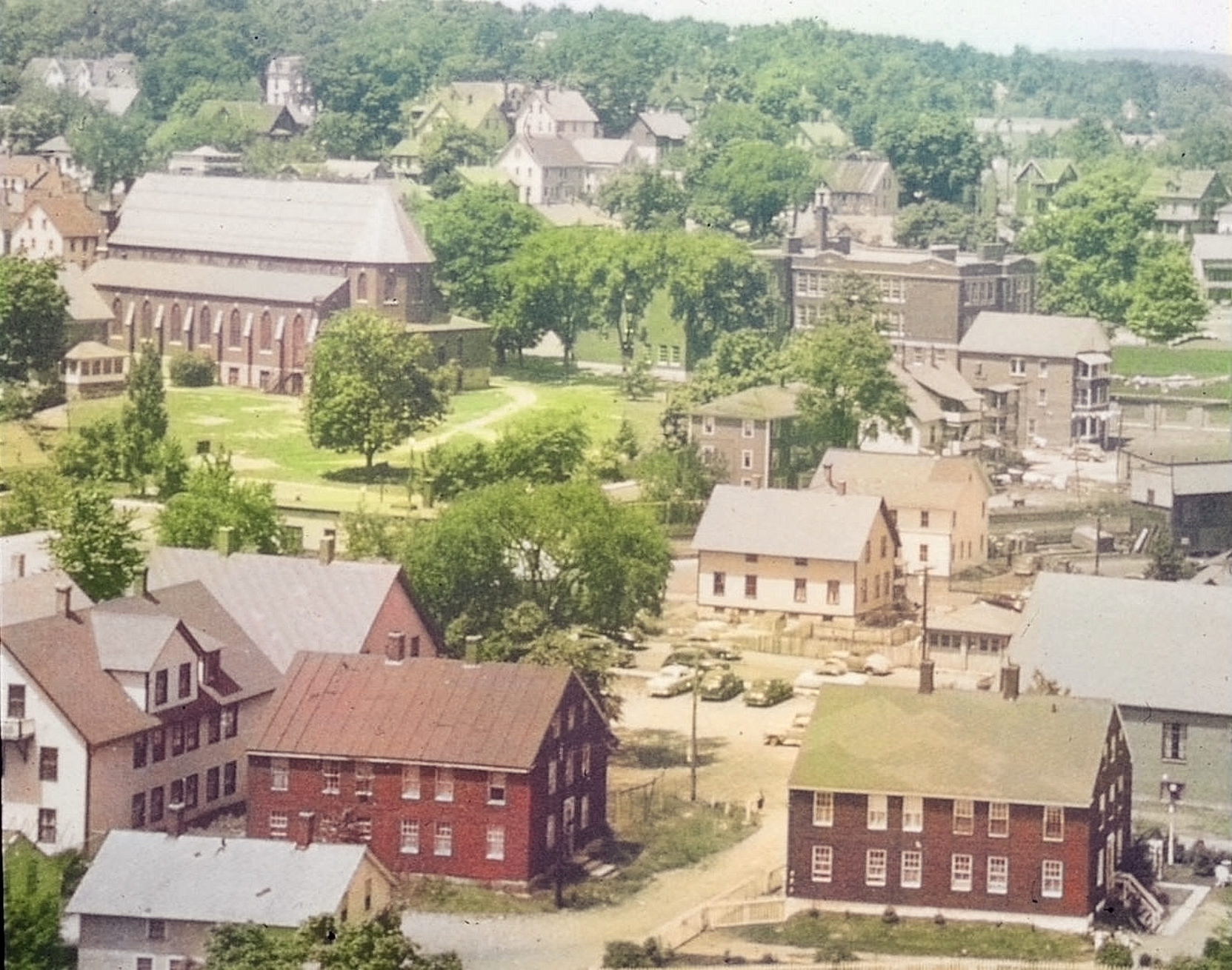
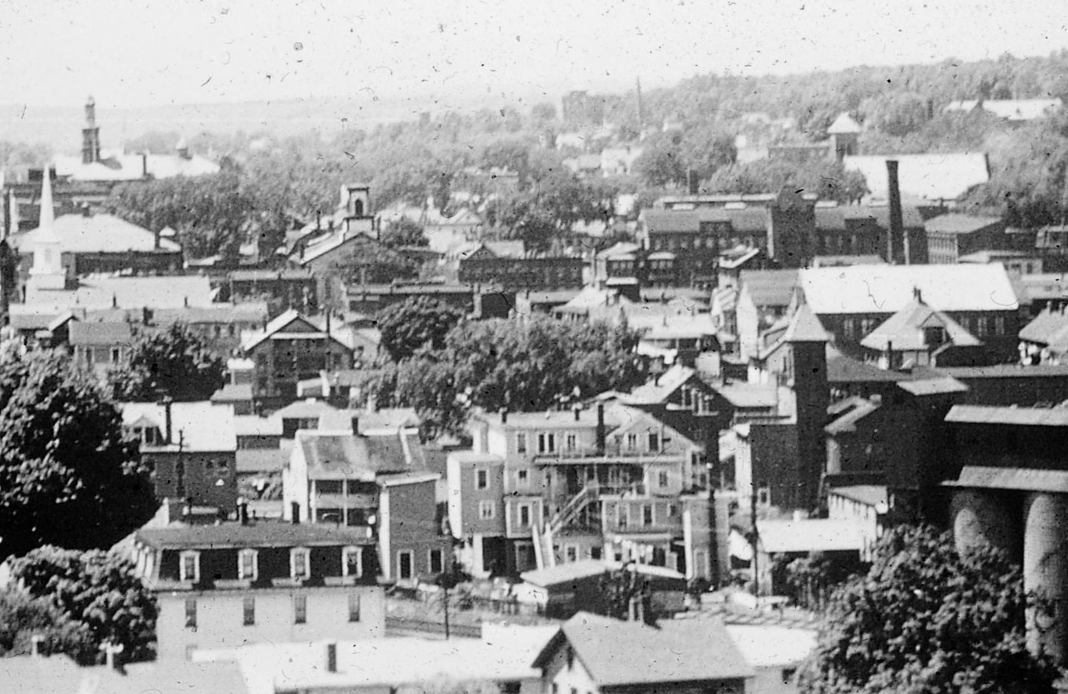
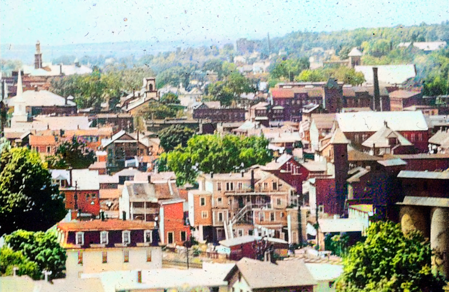
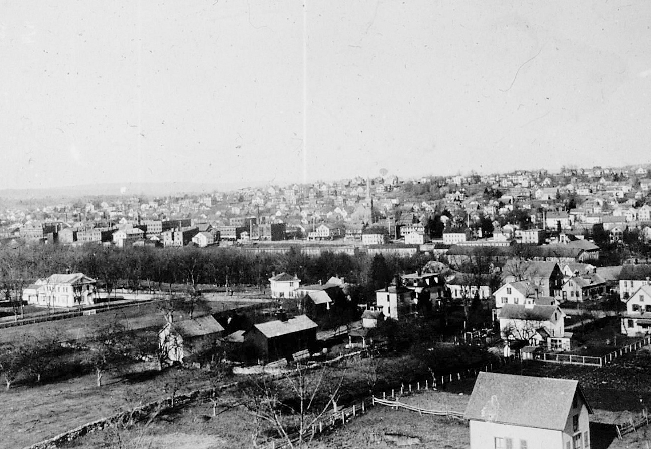
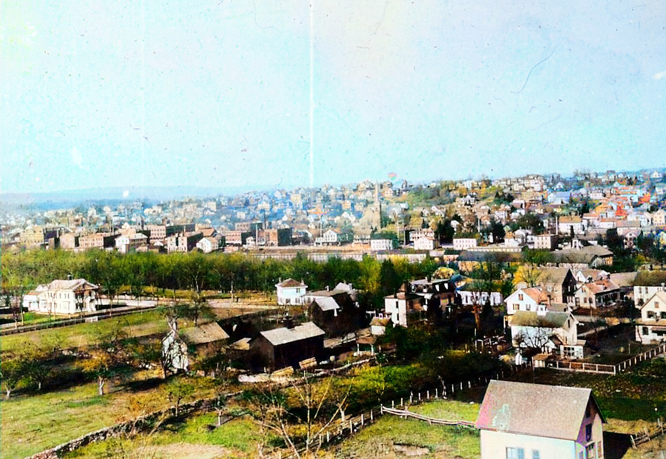
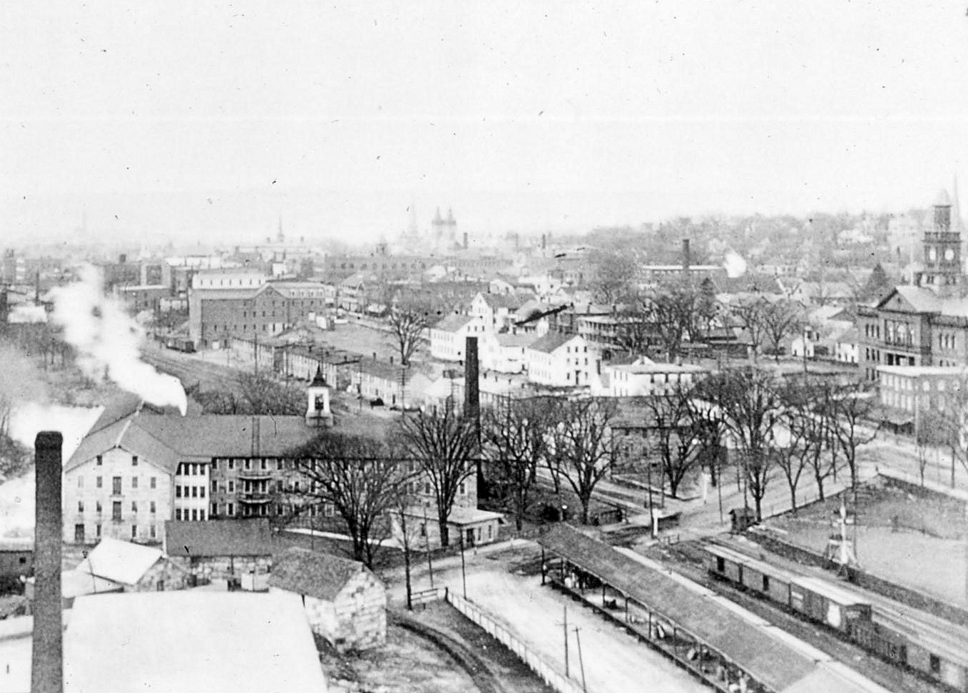
Fred Turner Photos
Fred Turner took several photos from the ATCO
buildings.
A view of the city from atop ATCO's chimney in
1907. Mill Six is under construction at bottom
left. We also get a good view of the Mill
Museum's Dugan Mill -- but with only one story
 |
Looking East
Fred Turner Photo - 1907
"Iverton", the Mills housing complex opposite
ill No. 2, is seen here. Addresses were numbered
as "New Village".
 |
Fred Turner Photo -
1907
Looking slightly Southwest, Pleasant
Street runs the length of the photo with Hosmer
Mountain in the distance.
 |
Fred Turner Photo - 1907
Looking North. Saint Joseph's Church is
on the left.
Buildings of the Hillhouse Taylor Lumber Company
are almost in the center of the photo.
 |
|
 |
 |
|
 |
 |
 |
|
|
|
|
|
 |
 |
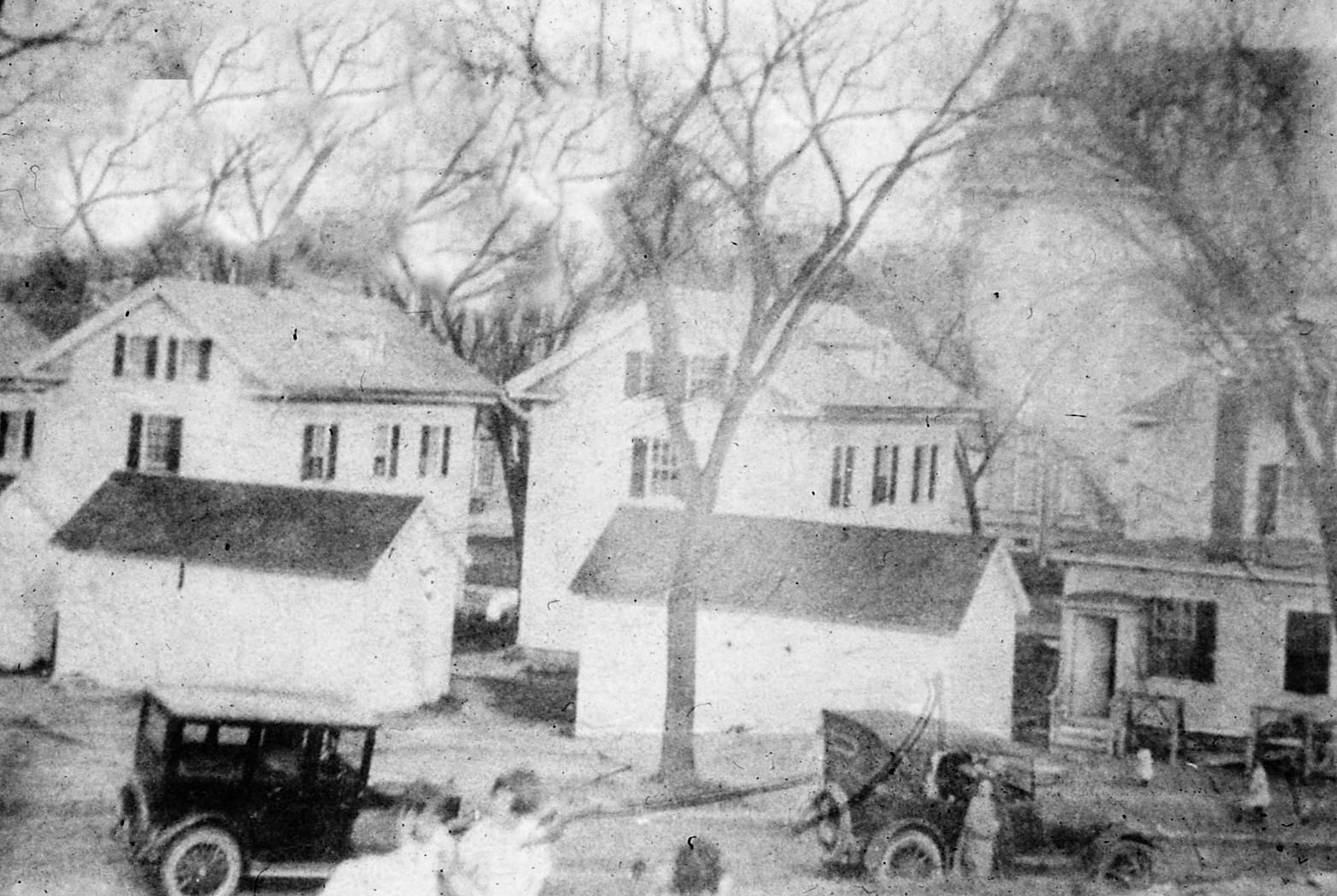
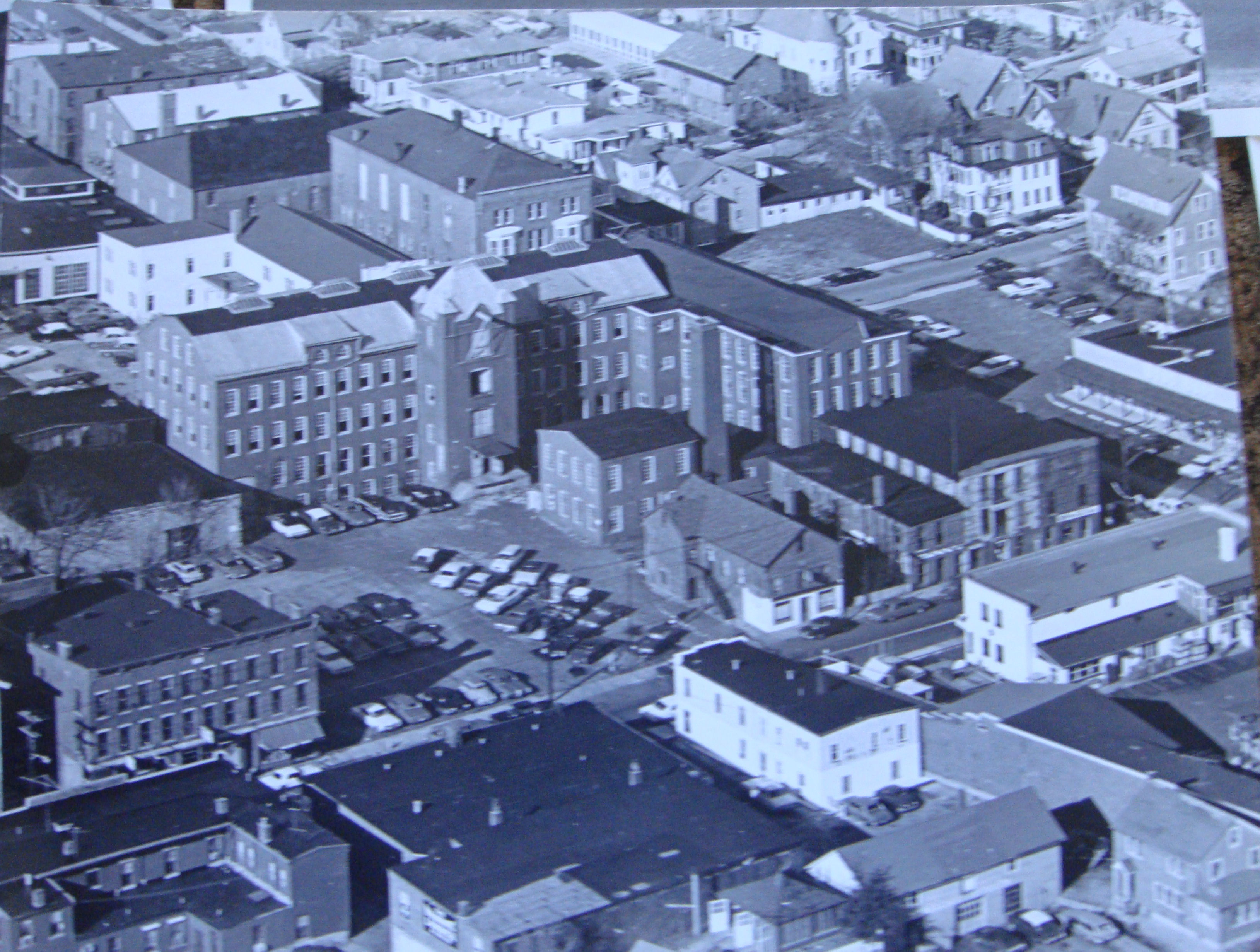
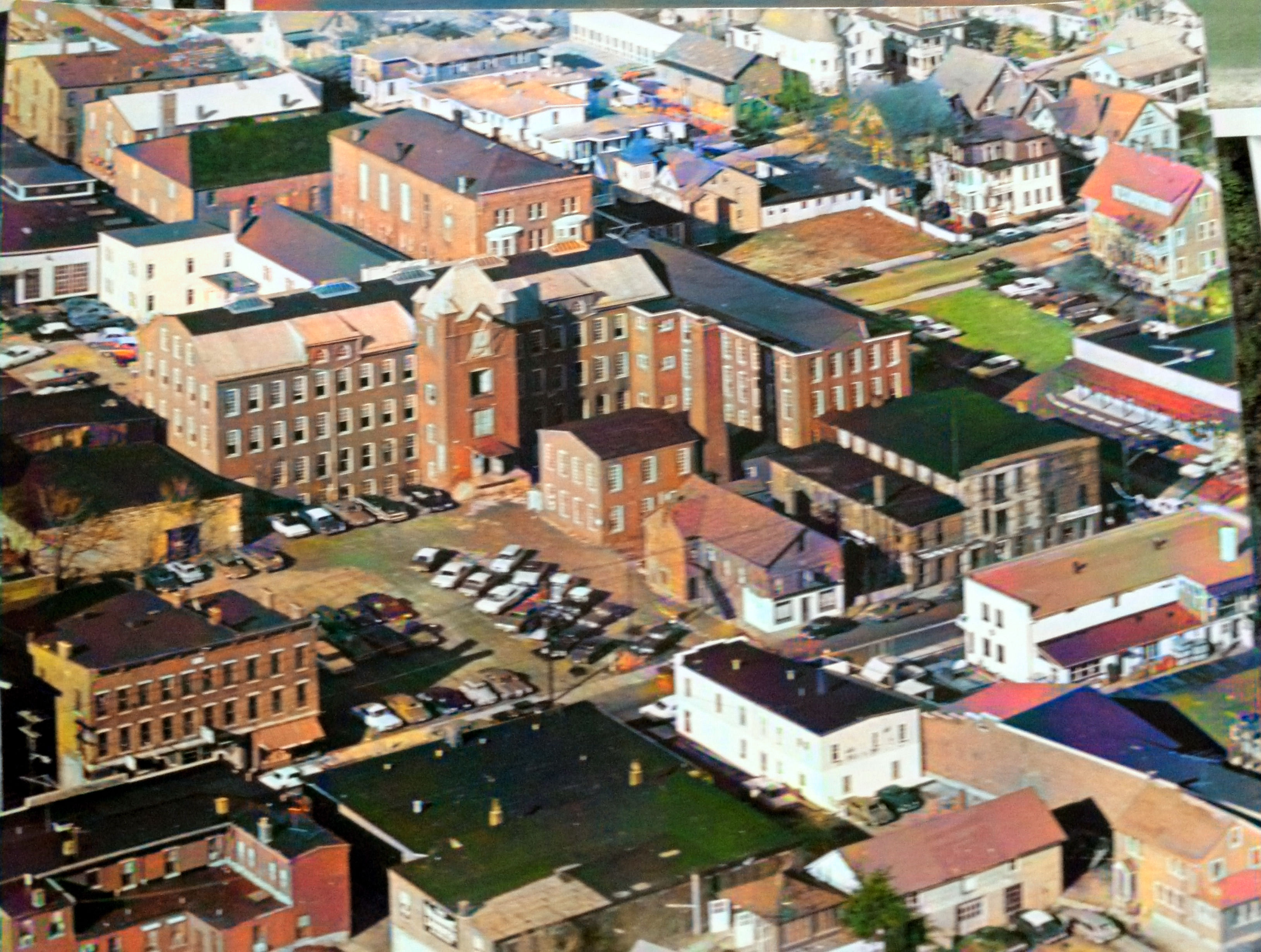
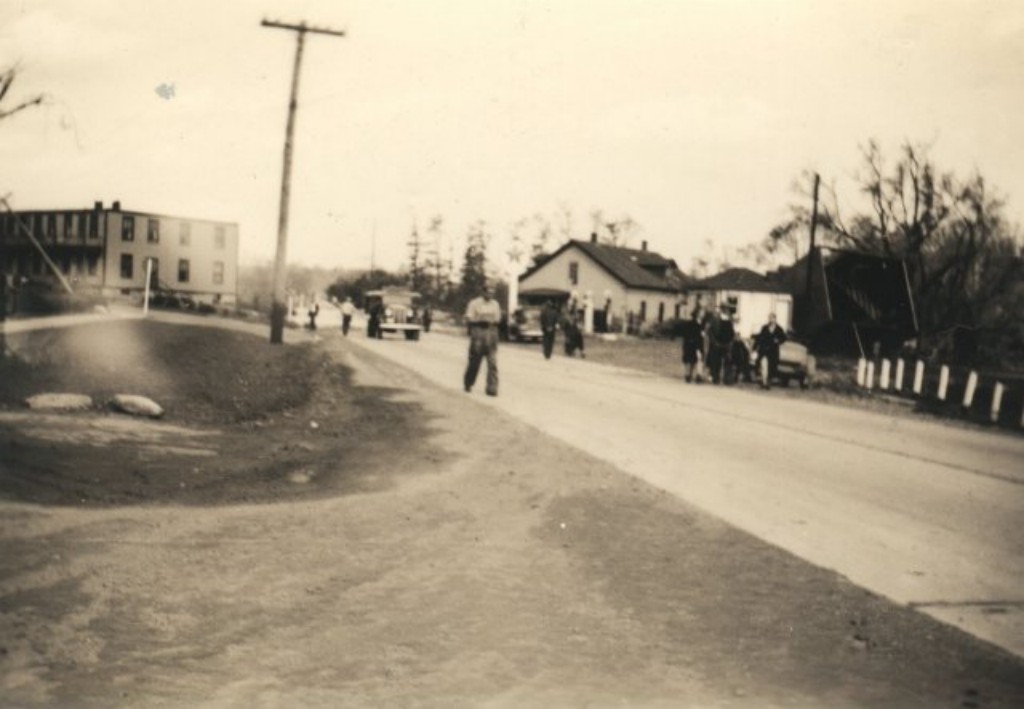
Mill HousingThis
photo was taken from either Dunham or
Chapman Street. Mill Number Two is in the
background. Jamie Eves says, “... the building
on the right is likely the center of Mill Number
Two, and the one on the left is the eastern
extension, originally a separate building.
|
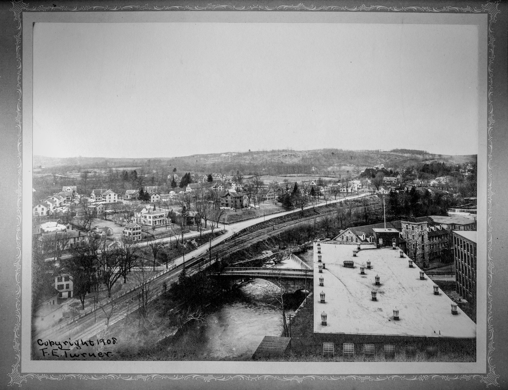
Lower Main
St.
The tower probably belongs to the old ATCO Spool
Shop. |
 |
|
|
|
|
|
|
|
 tt-neighborhoods-11c.jpg tt-neighborhoods-11c.jpg |
|
|
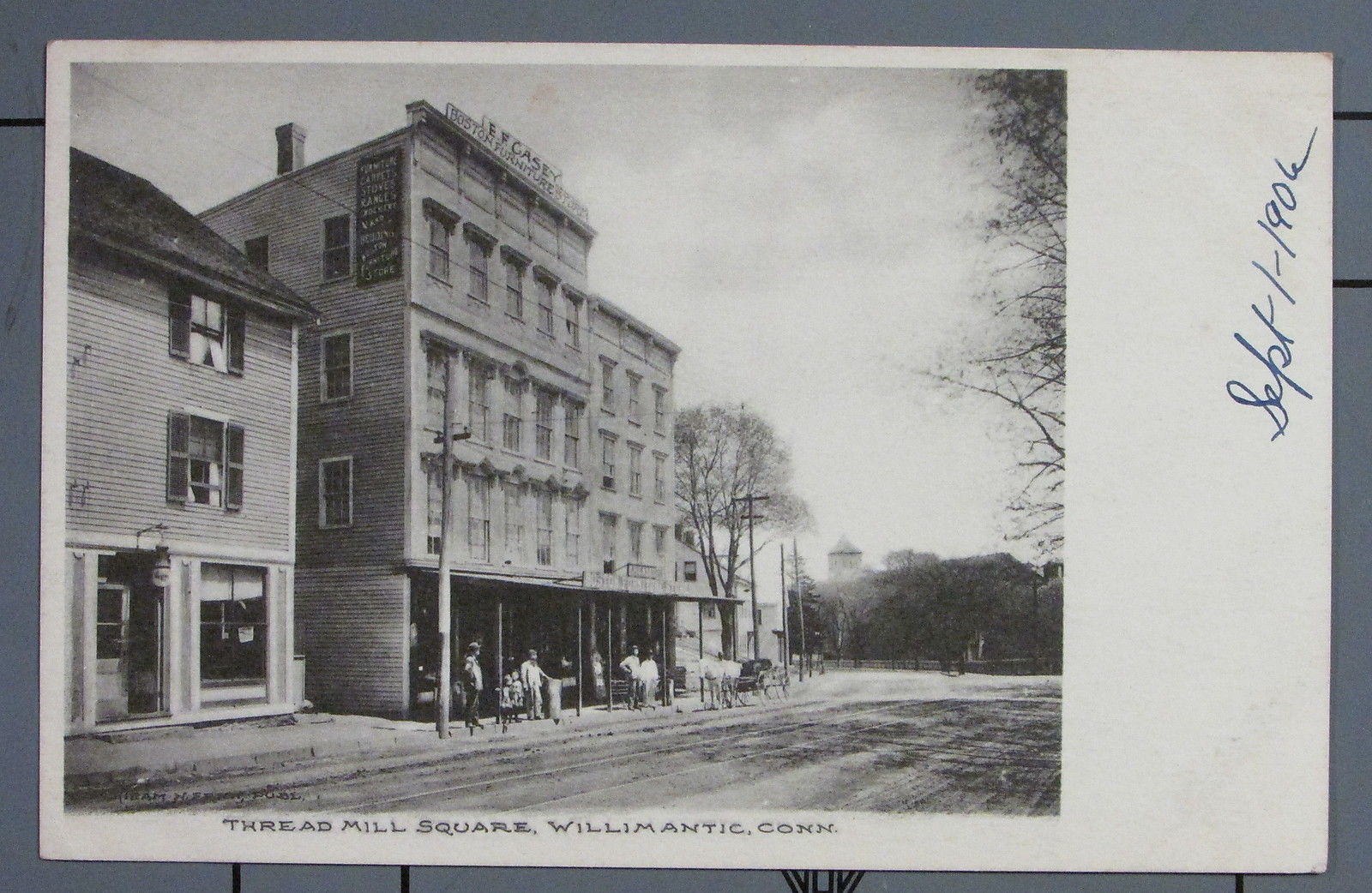
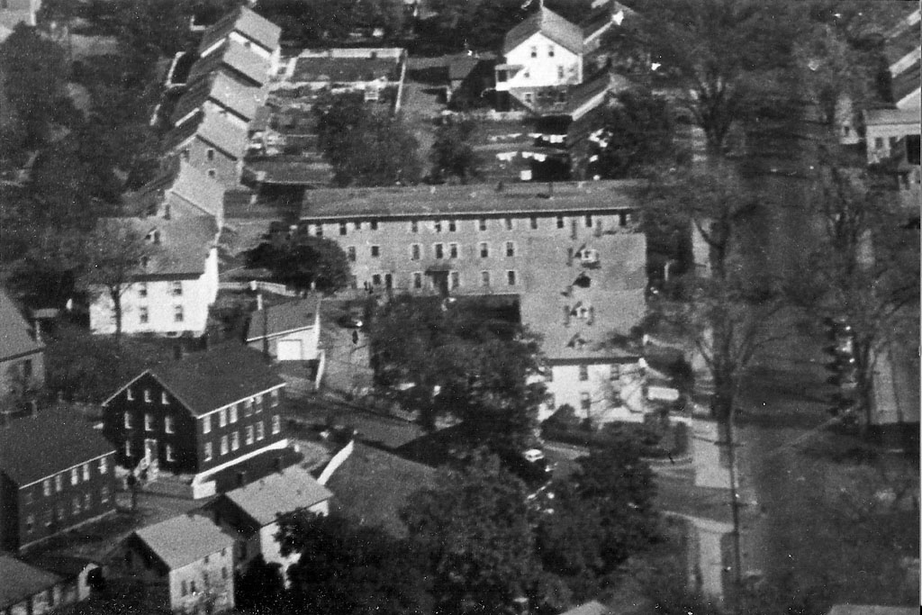
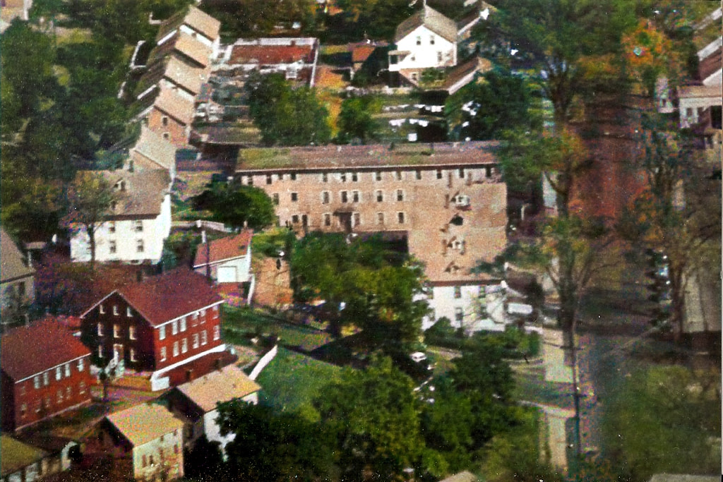
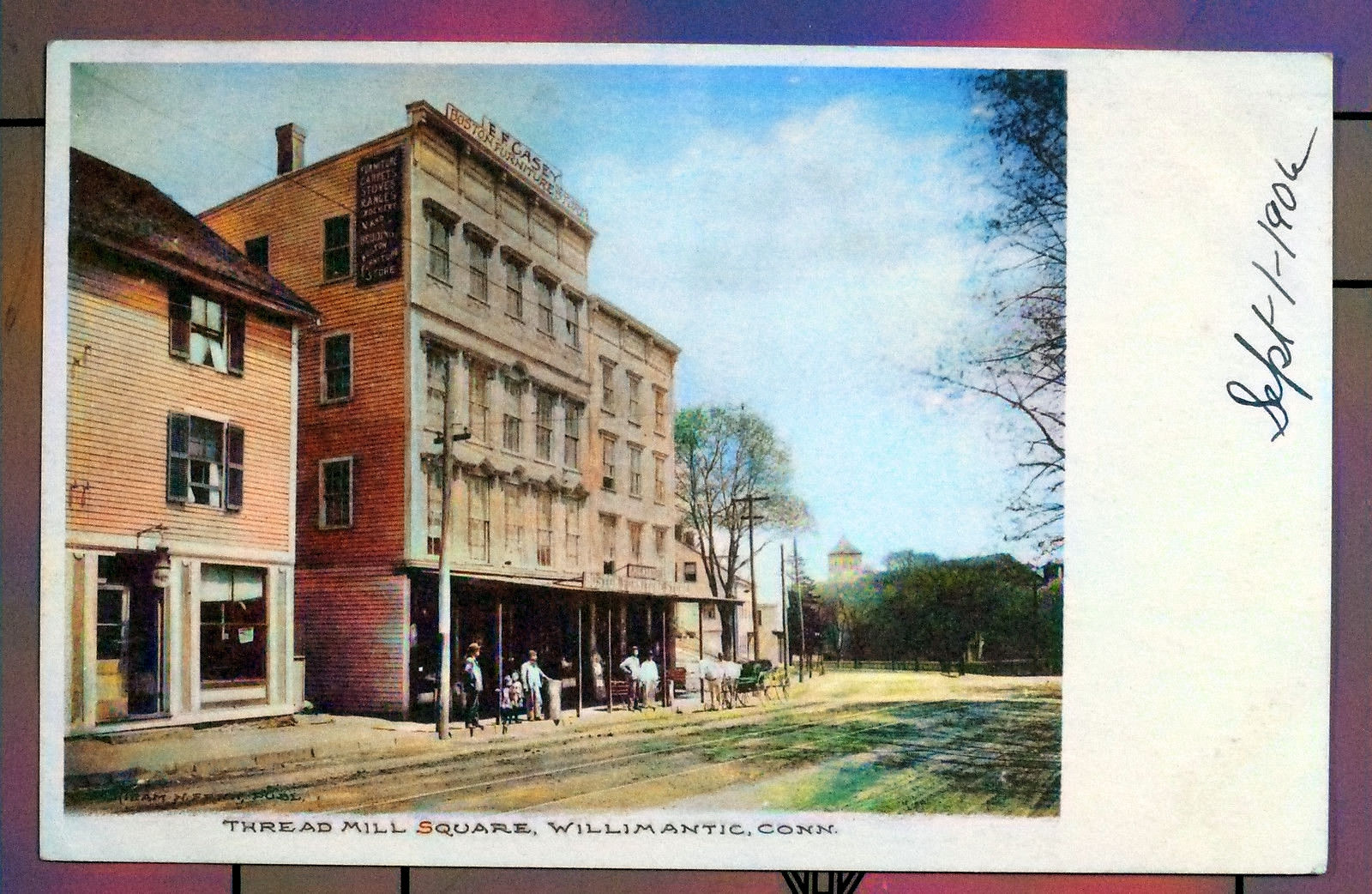
Thread
Mill Square
Before the building of Mill No. 6.
 |
|
|
|
Polish
Naturalization Club
At the time this
photo was taken, the building belonged to the
Polish Naturalization Club. In later years, it
would become home to McClure's Market. Today,
the Cibao Market is there |
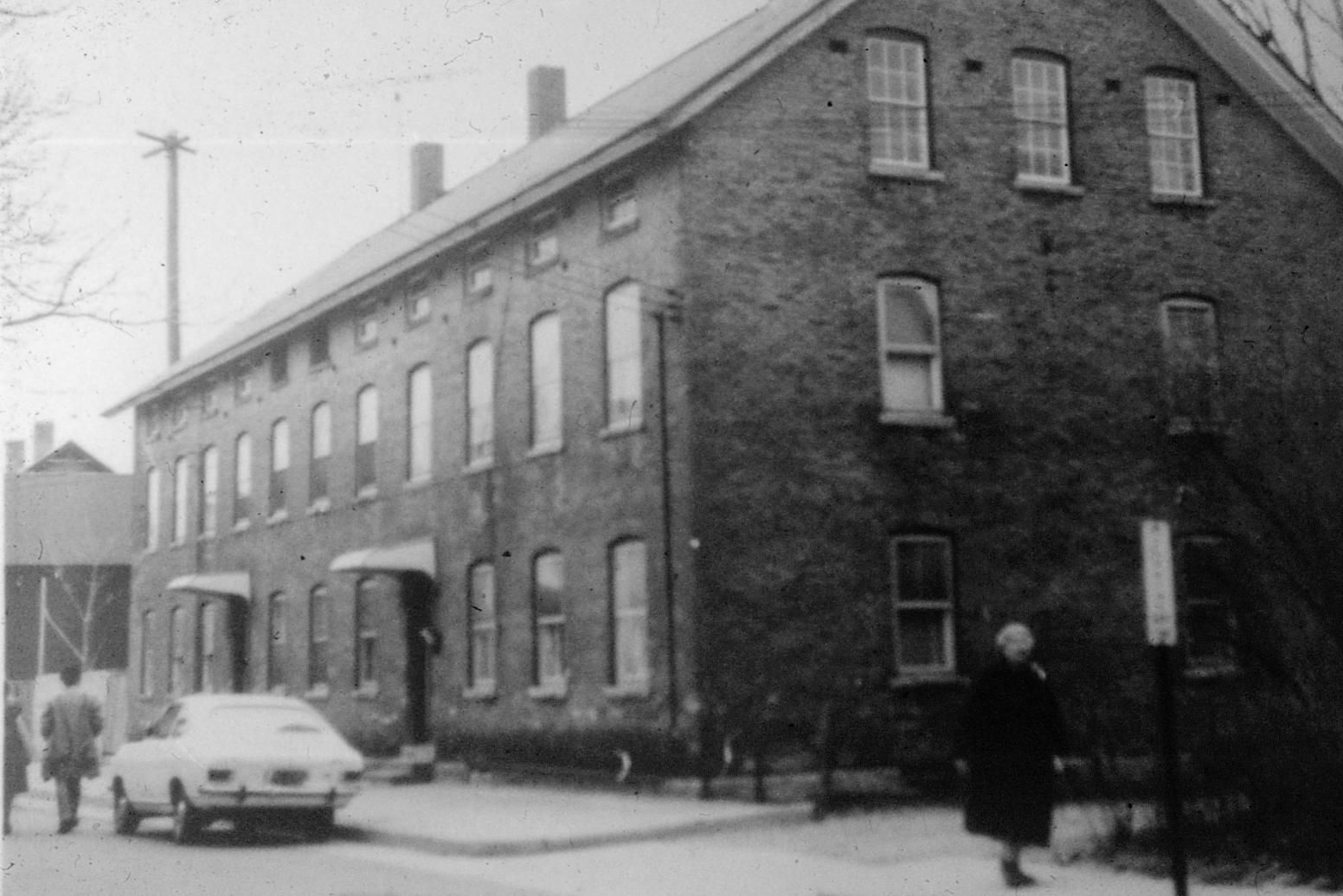
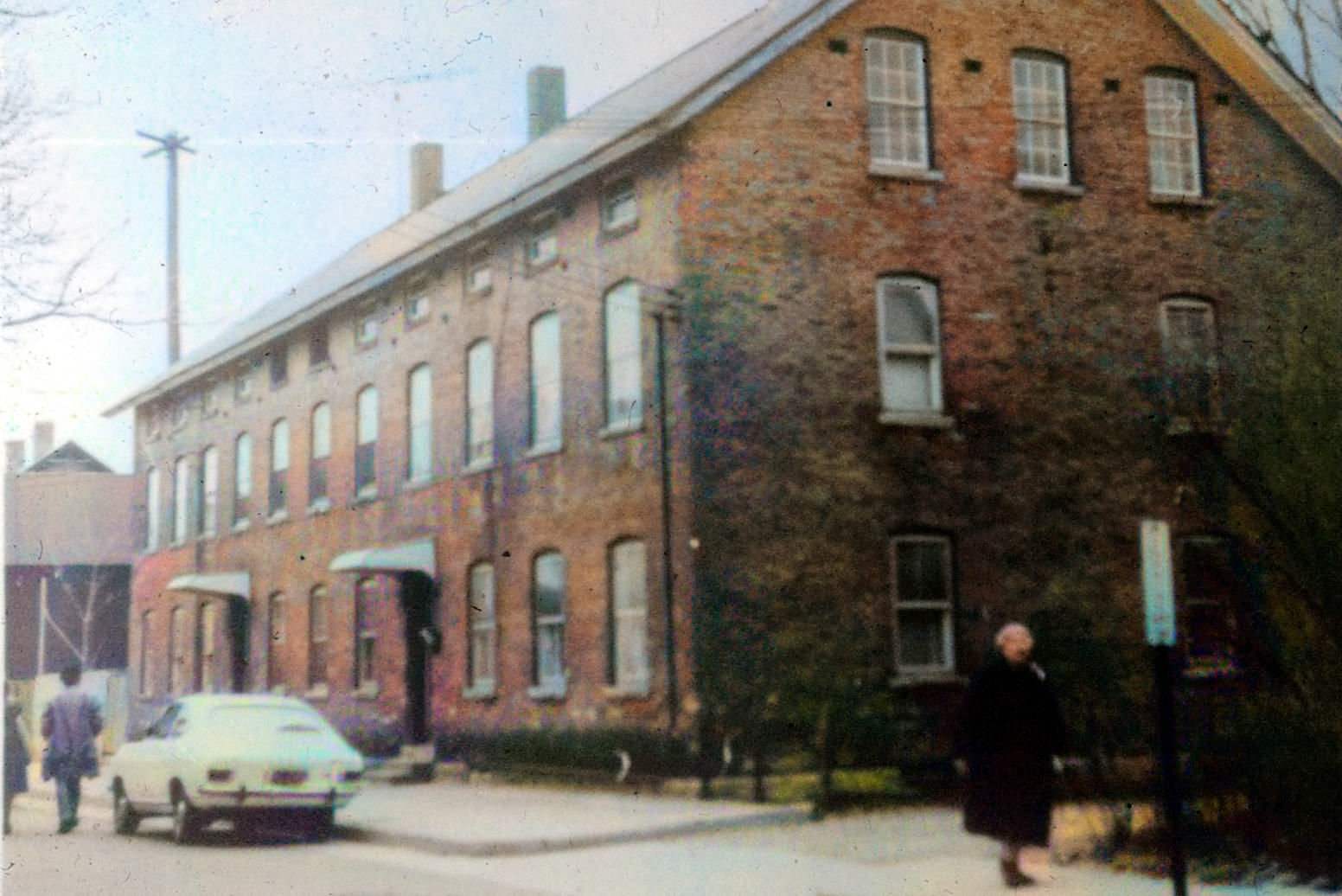
Main Street
Mill Worker Housing
 |
”
Main Street
Mill Worker Housing
Rear Yards
 |
|
Cardinal
Square
 |
Cardinal
Square
 |
 |
|
|
|
|
|
 |
 |
 |
|
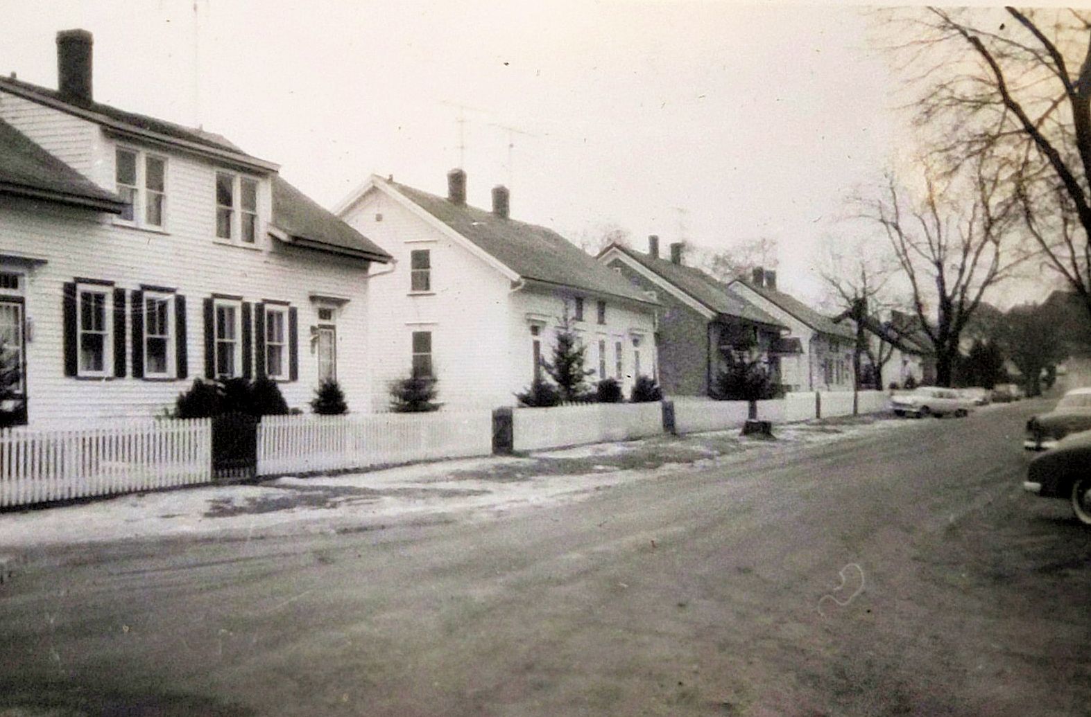
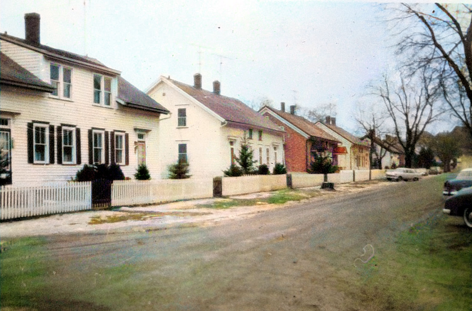
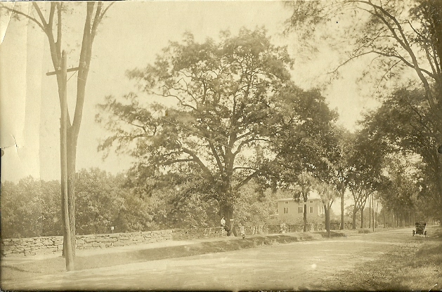
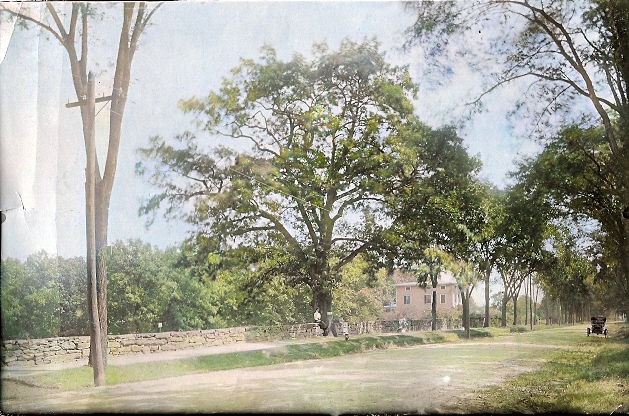
South St. or John St.
at intersection with Pleasant st.South Street as it intersects
with Pleasant Street. the spires of Saint Mary
Church can be seen in the background
 |
 |
 |
South Street in
Willimantic.
 |
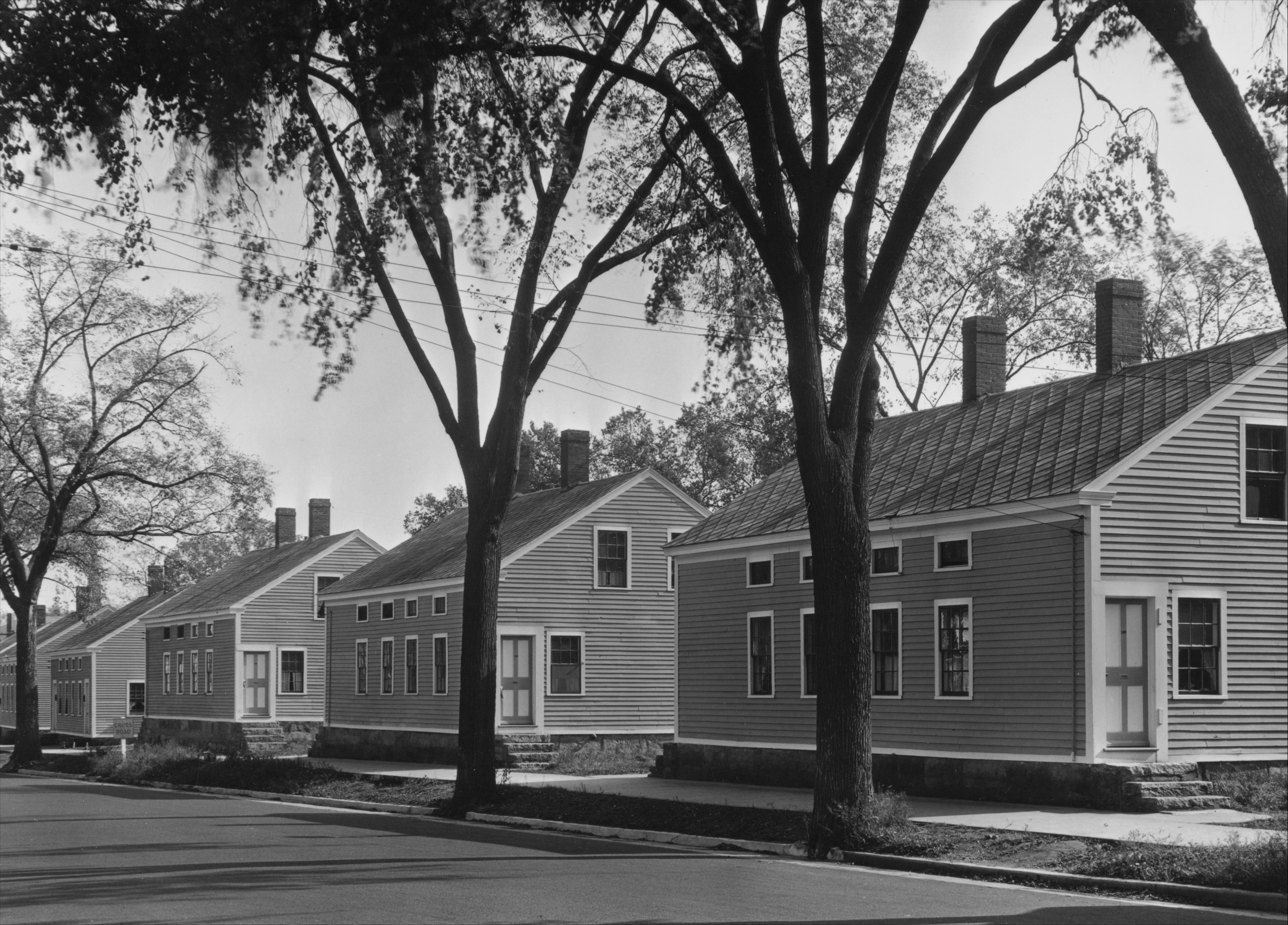
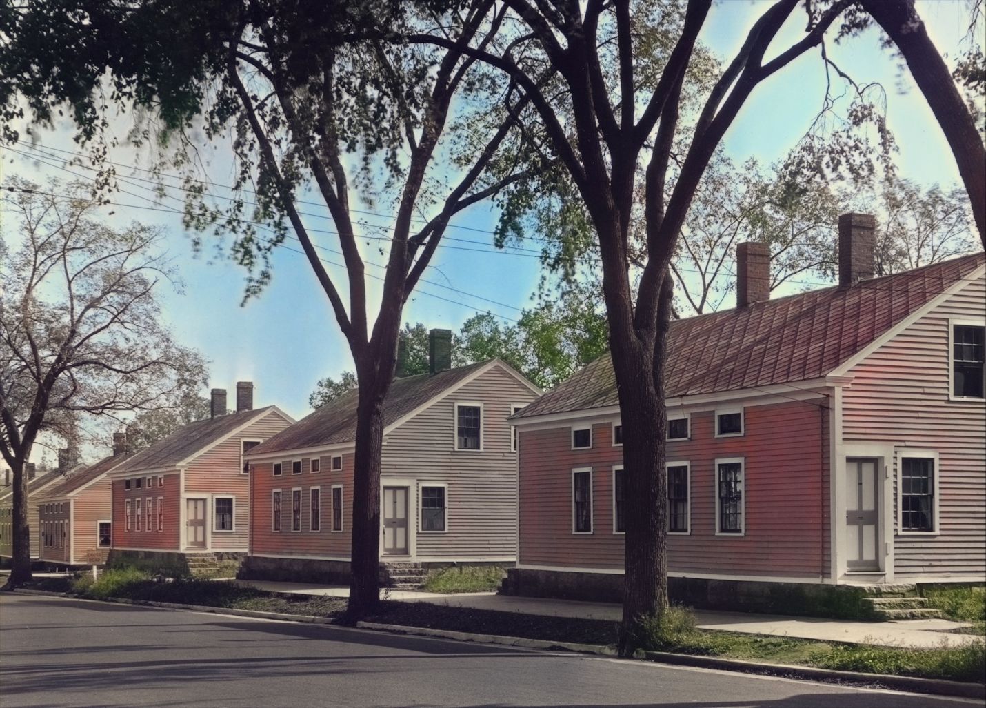
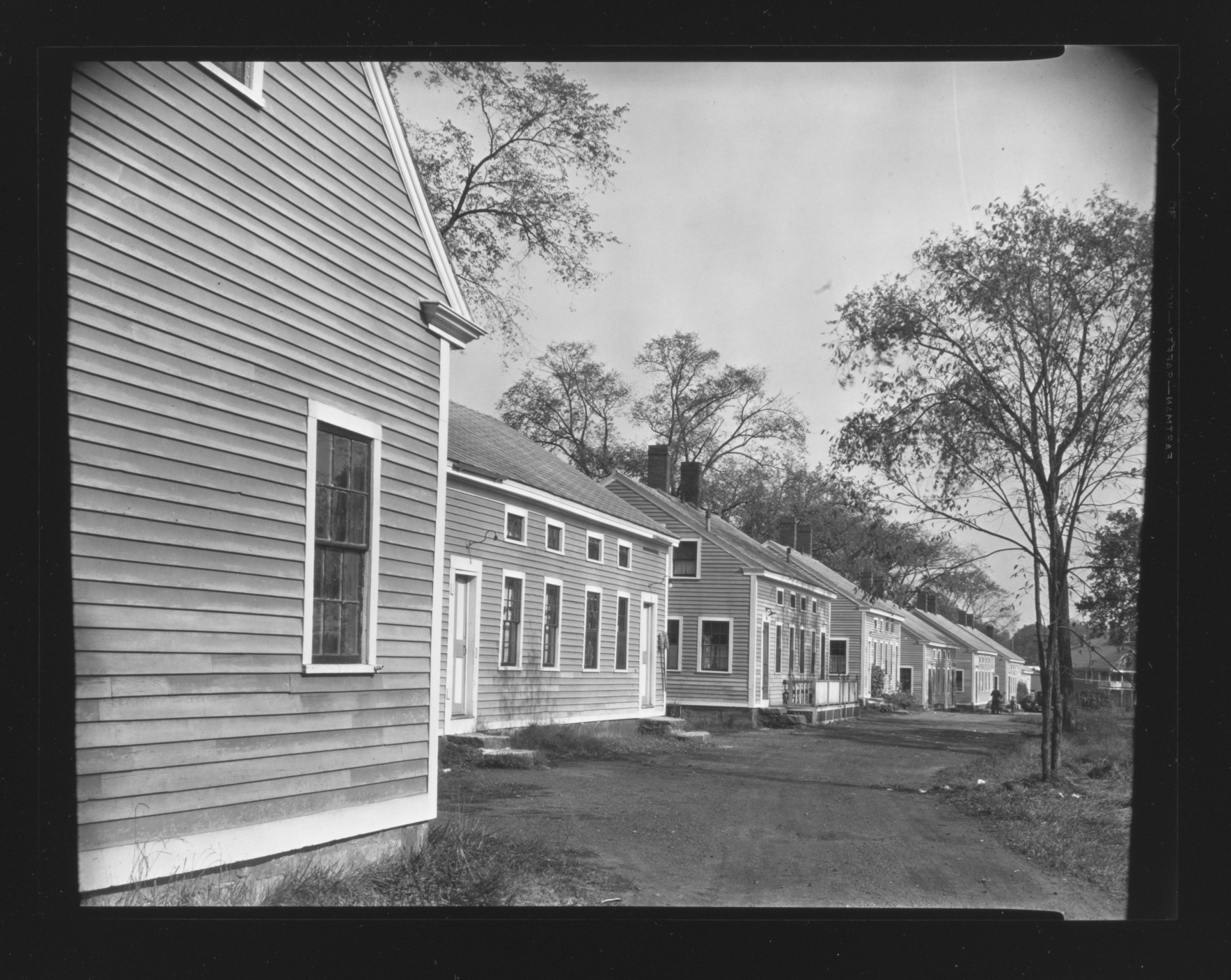
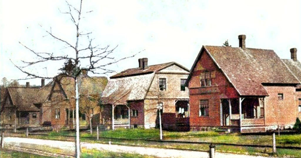
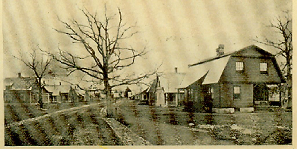
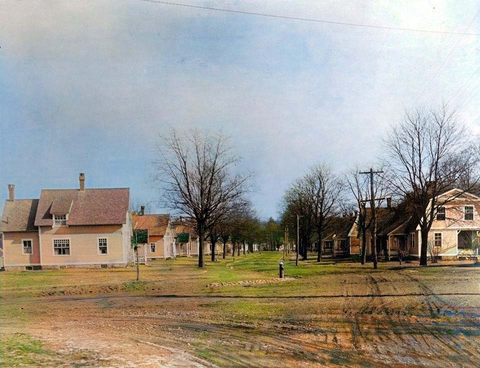
The OaksThe
Oaks was developed in 1890 by the Willimantic
Linen Company as a new phase in its housing
program (the housing program commenced in 1865).
 |
The
Oaks
Forty
houses were erected using 4 basic floor plans.
All have six rooms, though varying considerably
in the arrangement and size of rooms and closet
accommodation. All the houses have front porches
opening either to halls or vestibules.
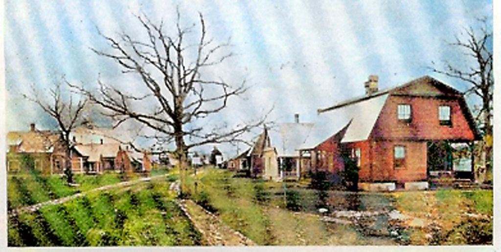 |
The Oaks
 |
 |
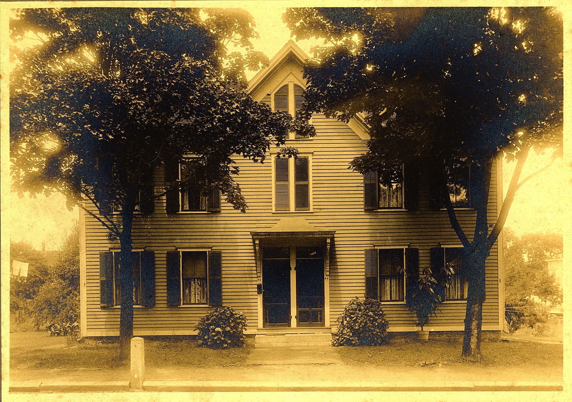
Park Street
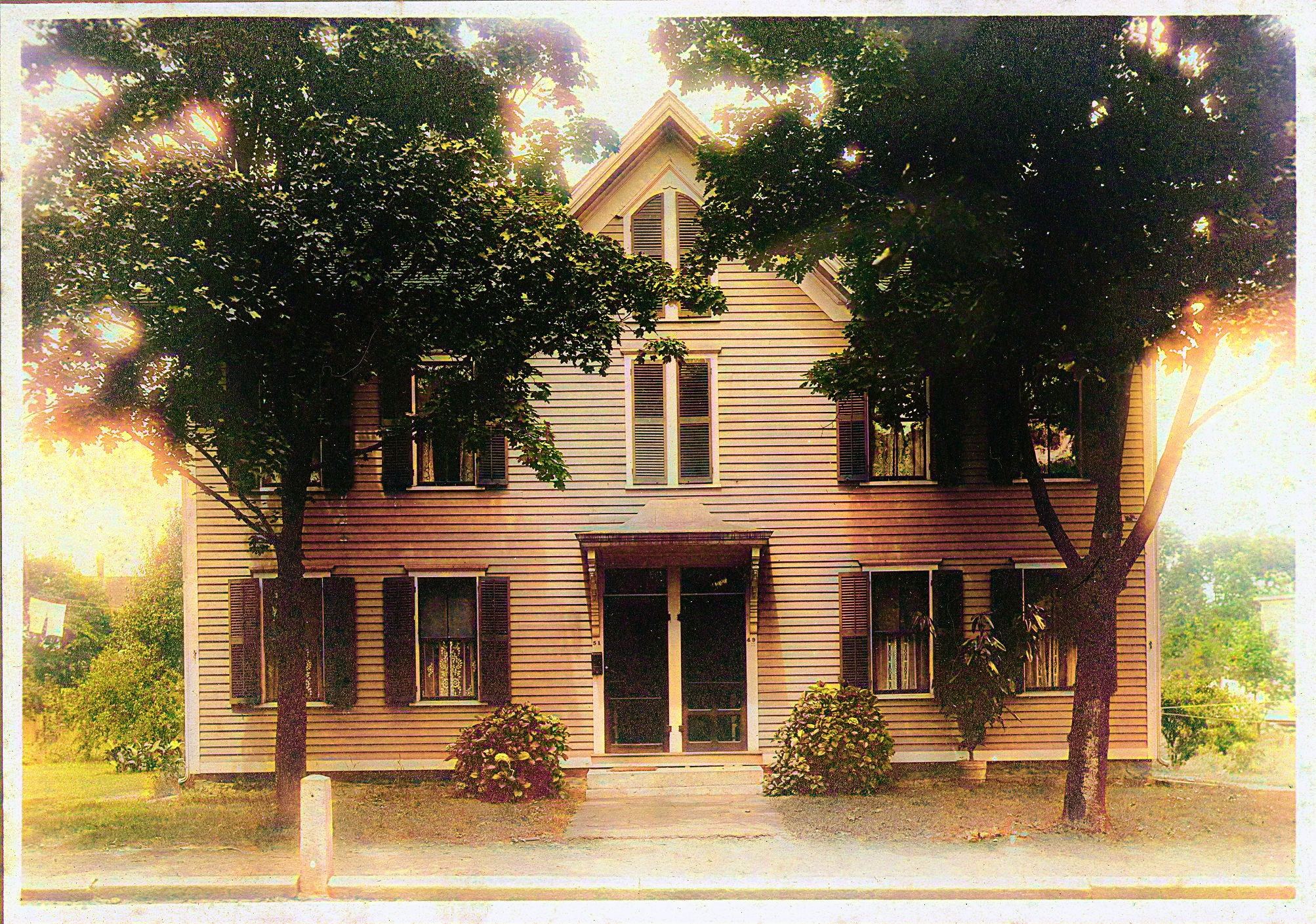
Duplex at 49/51 Park Street. Probably taken
around 1905 when C. Victor Enanda and family
moved in. Courtesy of Horace Smith
|
 |
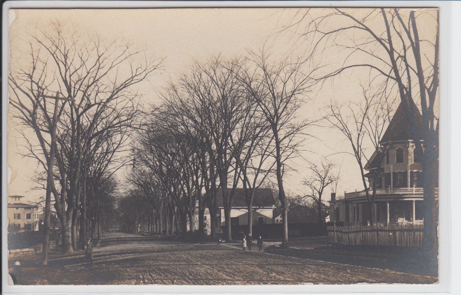
Park Street
Park Street, view to the south circa 1905.
Several people can be noted on close inspection.
|
 |
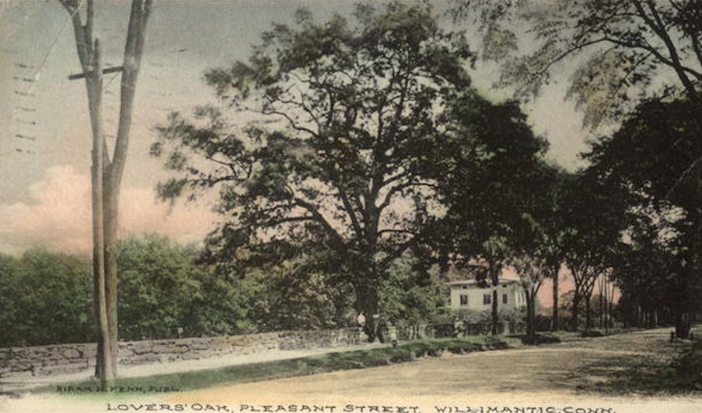
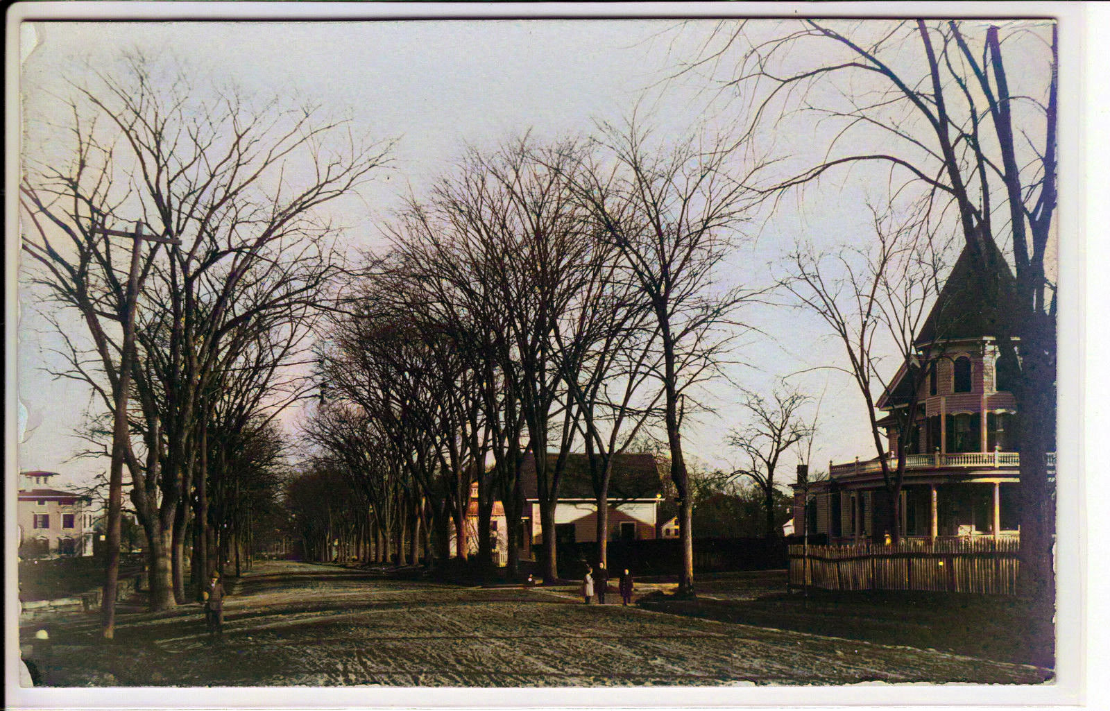
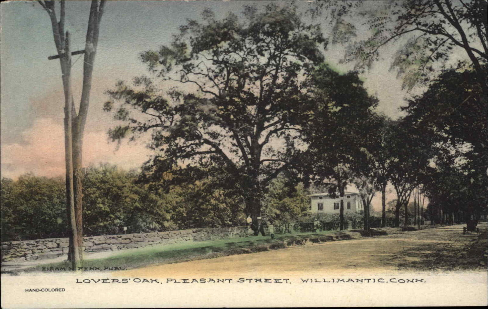
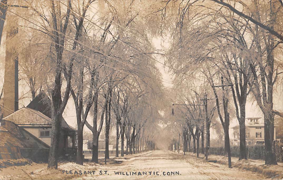
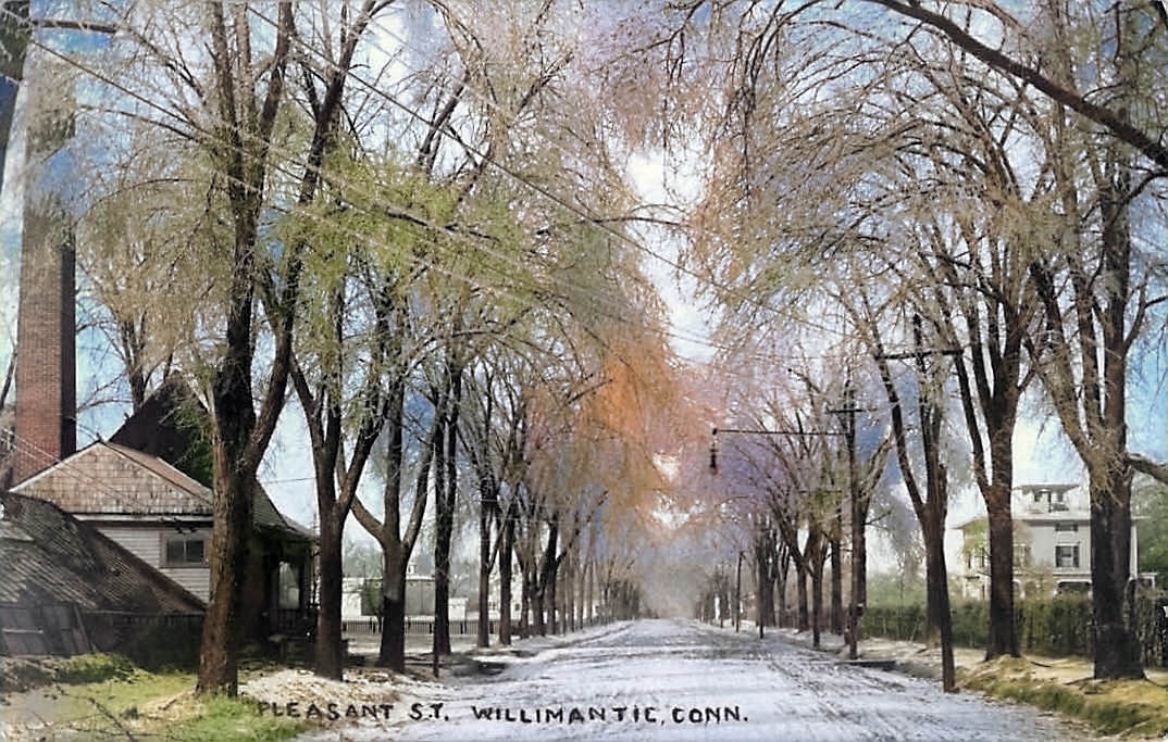
Pleasant
Street
 |
 |
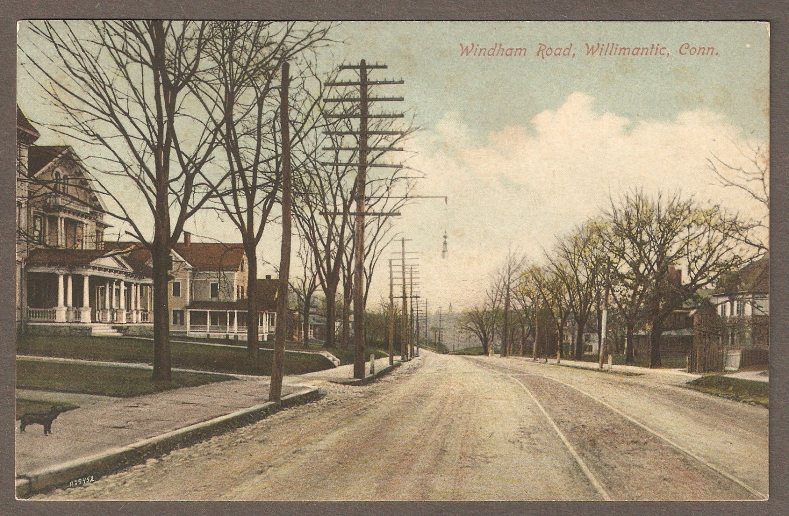
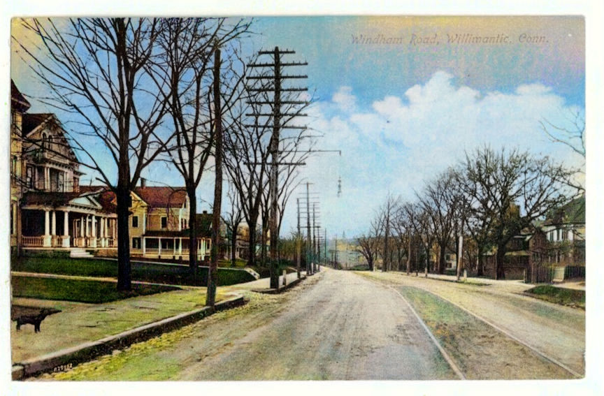
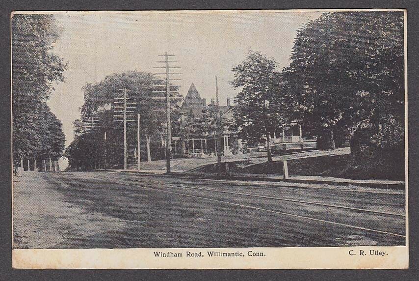
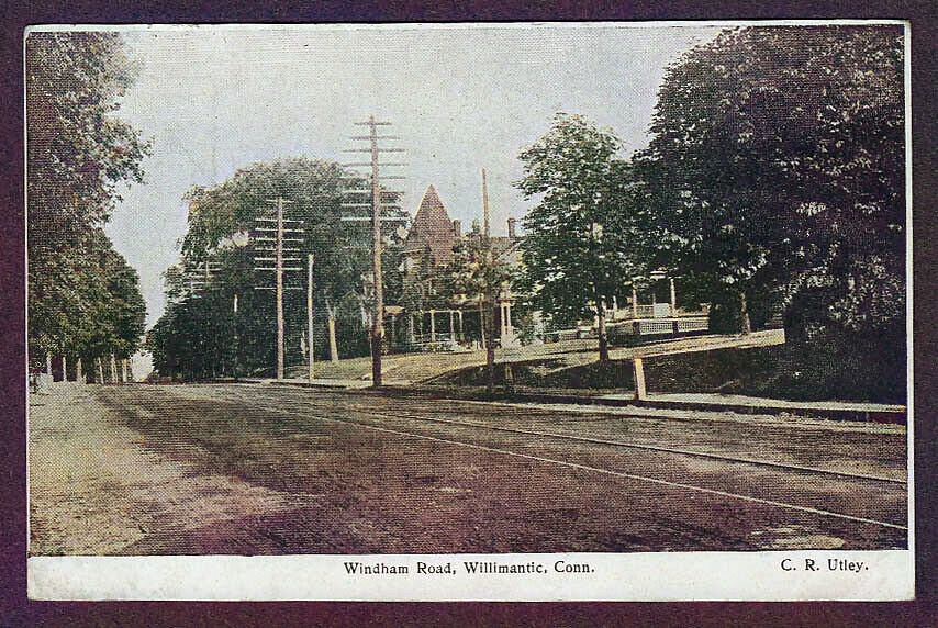
Windham Road
looking East
 |
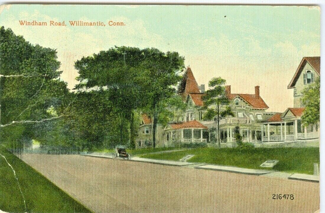 |
South Main
Street
Later called Windham Road / Route 32
 |
 |
 |
|
|
|
|
|
|
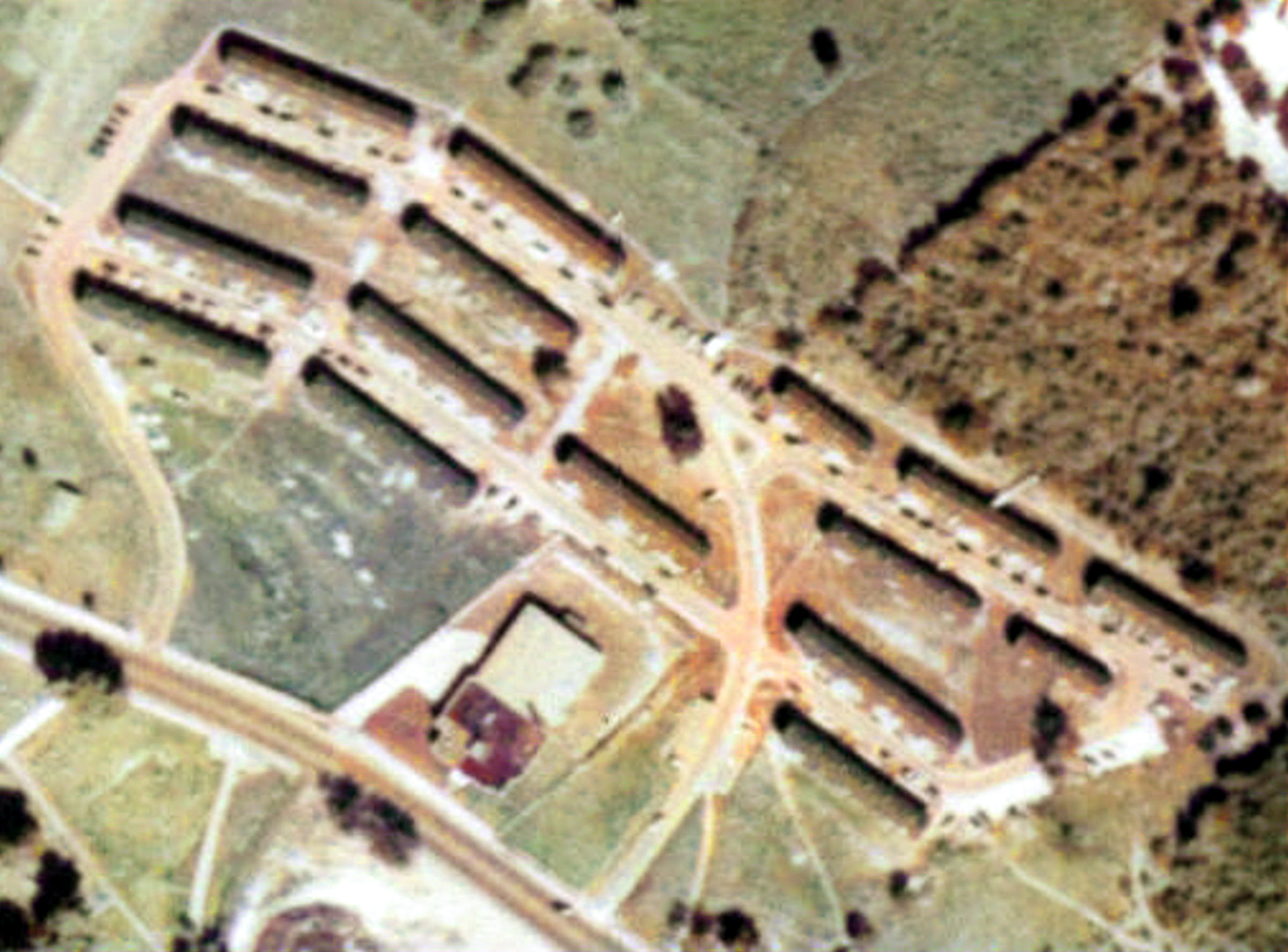
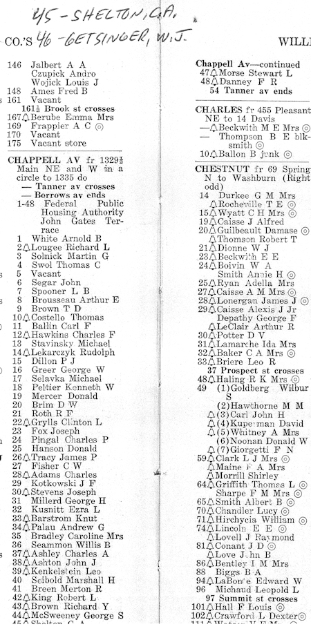
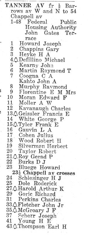
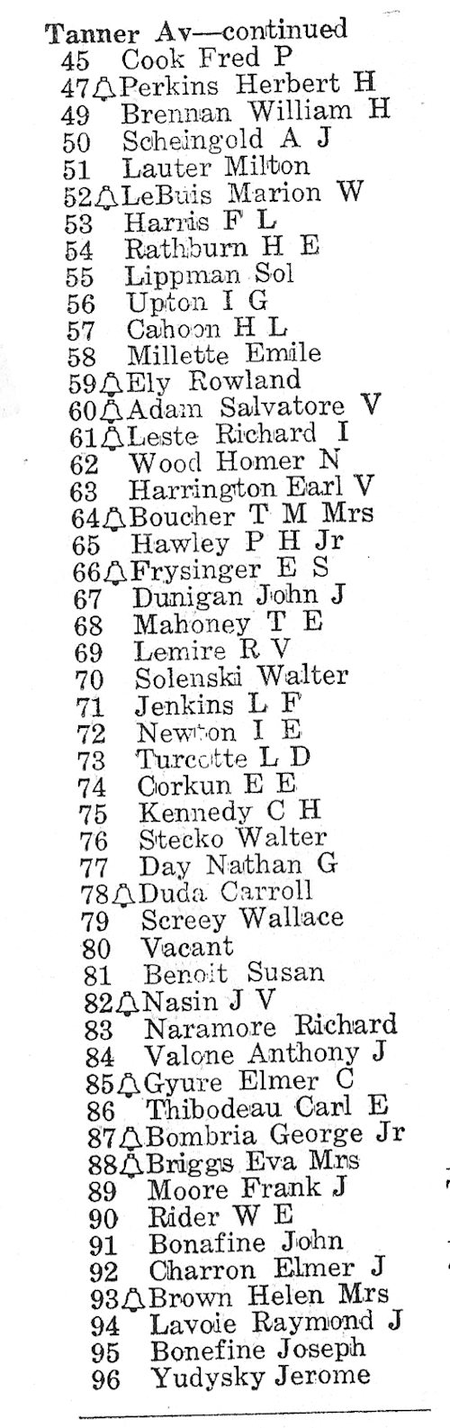
. “The
John Cates Terrace” was
built in 1943 as part of the Federal Public
Housing Authority's attempts to provide housing
for workers in military establishments and
businesses that did production work for the
military.
|
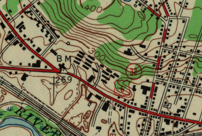
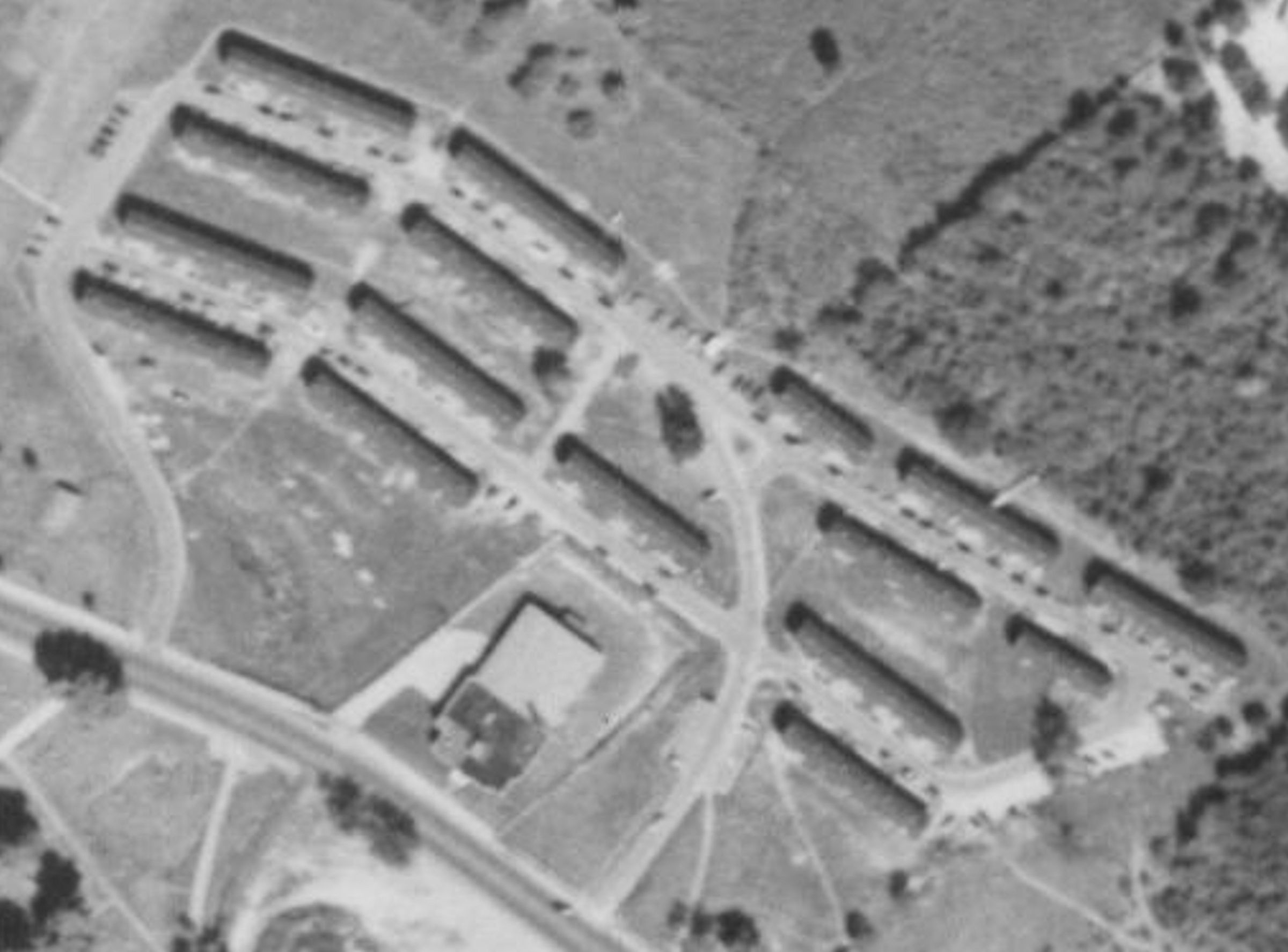
Cates Terrace
shown on Topo Map
Work
on the project was begun in April, 1943 with a
grant to Windham from the FPHA. Associated
Construction Co. of Groton completed the work in
July, 1943. The total cost of the project was
$382,250. The buildings were located on the
three streets serving the project.
|
|
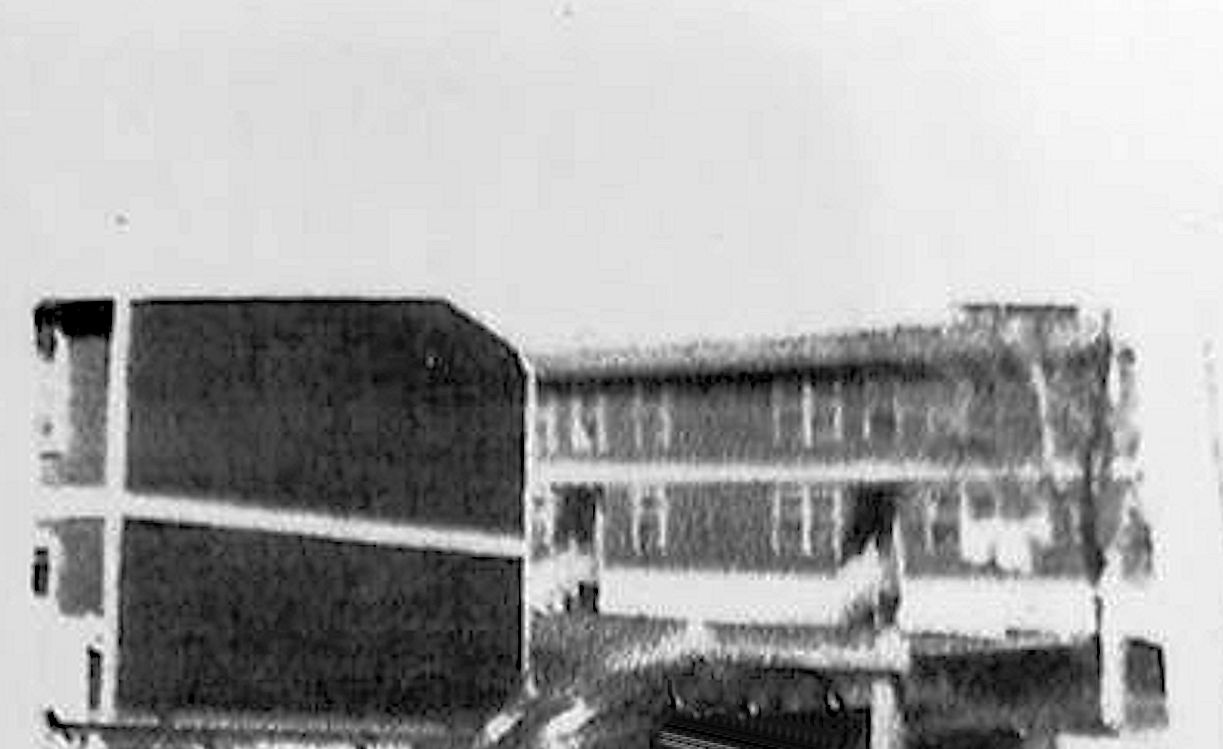
Cates Terrace
Buildings
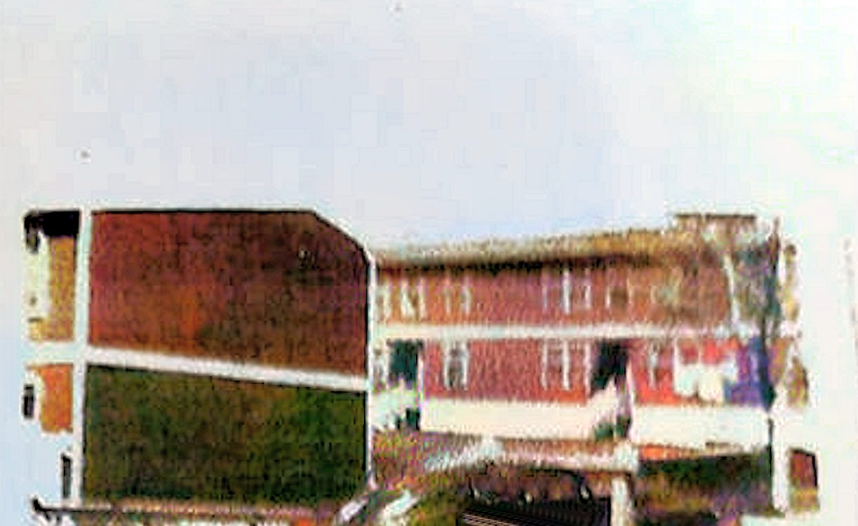 |
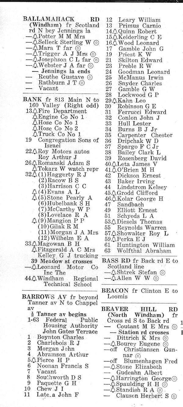
Barrows Avenue wasnamed after the General
Manager of the Willimantic Linen Company William
Barrows), Chappell Avenue named after
Willimantic Mayor Herbert Chappell and Tanner
Avenue named after Willimantic Mayor Oscar O.
Tanner. |
 |
 |
 |
 |
|
|
|
| |
|
|
|